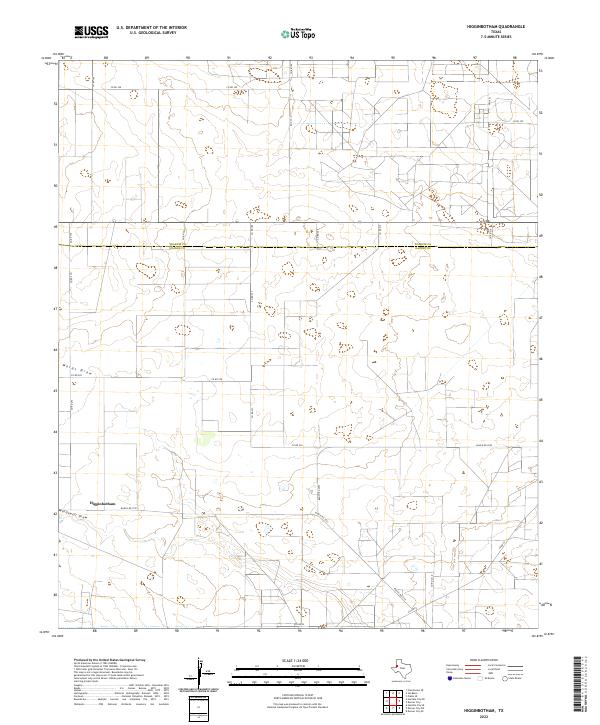
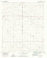
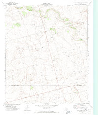
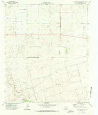
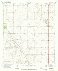
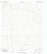
2022 Map of Higginbotham
USGS Topo · Published 2022This historical map portrays the area of Higginbotham in 2022, primarily covering Gaines County as well as portions of Yoakum County. Featuring a scale of 1:24000, this map provides a highly detailed snapshot of the terrain, roads, buildings, counties, and historical landmarks in the Higginbotham region at the time. Published in 2022, it is the sole known edition of this map.
Map Details
Editions of this 2022 Higginbotham Map
This is the sole edition of this map. No revisions or reprints were ever made.
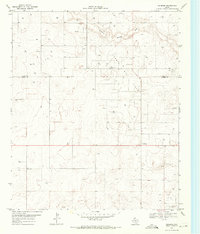
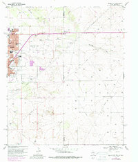
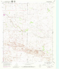
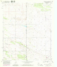
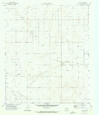
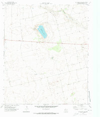
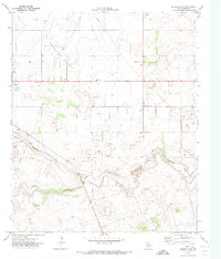
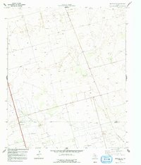
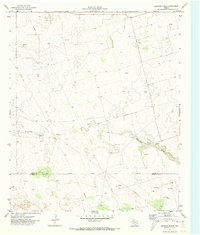
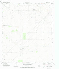
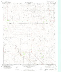
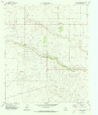
Historical Maps of Allred Through Time
48 maps found
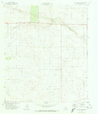
1969 Ashmore
Gaines County, TX
1969 Hobbs East
Gaines County, TX
1969 Hobbs SE
Gaines County, TX
1969 Humble City NE
Gaines County, TX
1969 Humble City SE
Gaines County, TX
1969 Seminole SW
Gaines County, TX
1970 Cedar Point
Gaines County, TX
1970 Cedar Point Ranch
Gaines County, TX
1970 Humble City SE
Gaines County, TX
1970 Loop SW
Gaines County, TX
1970 McKenzie Lake
Gaines County, TX
1970 McKenzie Lake NW
Gaines County, TX
1970 McKenzie Lake SE
Gaines County, TX
1970 Seagraves NW
Gaines County, TX
1970 Seagraves SE
Gaines County, TX
1970 Seagraves SW
Gaines County, TX
1970 Seminole NE
Gaines County, TX
1970 Seminole SE
Gaines County, TX
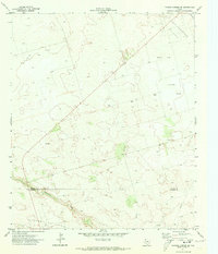
1971 Brinson Ranch
Gaines County, TX
1971 Denver City SE
Gaines County, TX
1971 Denver City SW
Gaines County, TX
1971 Higginbotham
Gaines County, TX
1971 Paynes Corner
Gaines County, TX
1971 Paynes Corner NW
Gaines County, TX
1971 Paynes Corner SE
Gaines County, TX
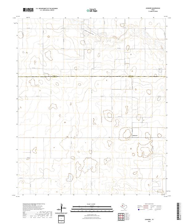
2022 Ashmore
Gaines County, TX
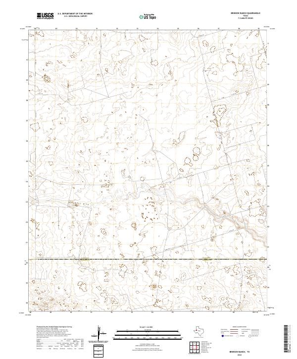
2022 Brinson Ranch
Gaines County, TX
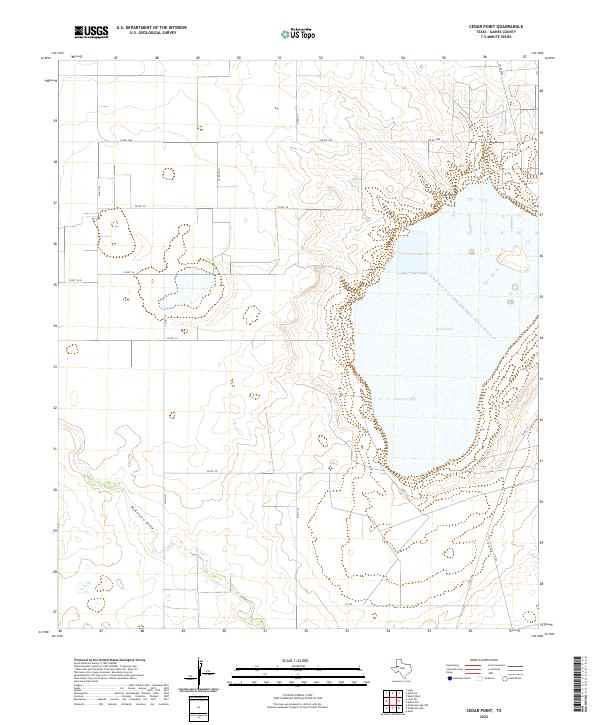
2022 Cedar Point
Gaines County, TX
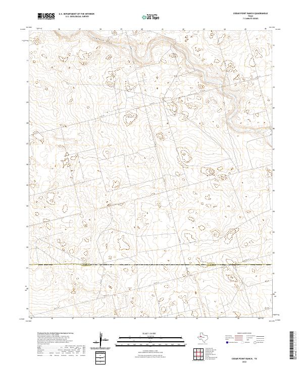
2022 Cedar Point Ranch
Gaines County, TX
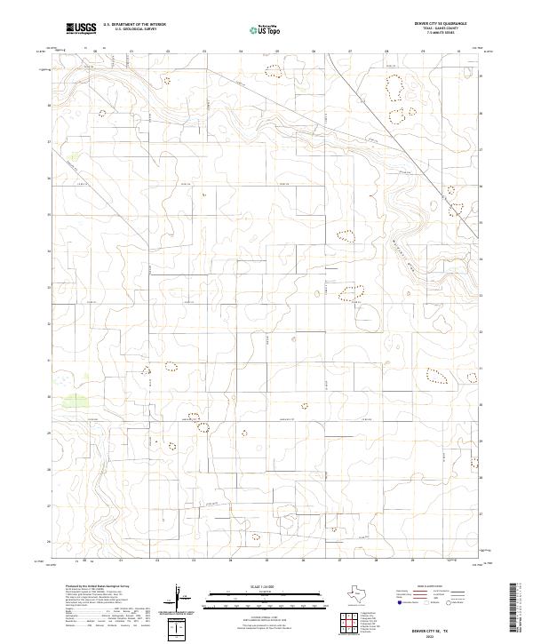
2022 Denver City SE
Gaines County, TX
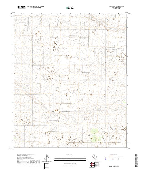
2022 Denver City SW
Gaines County, TX
2022 Higginbotham
Gaines County, TX
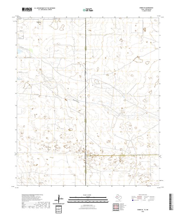
2022 Hobbs SE
Gaines County, TX
2022 Humble City NE
Gaines County, TX

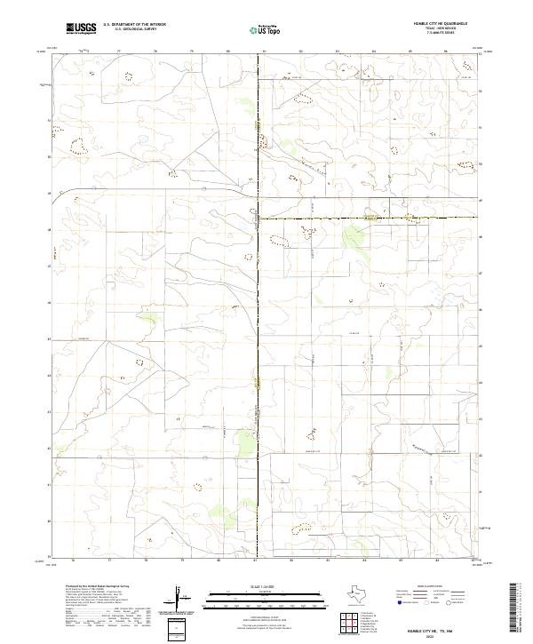
2022 Humble City SE
Gaines County, TX
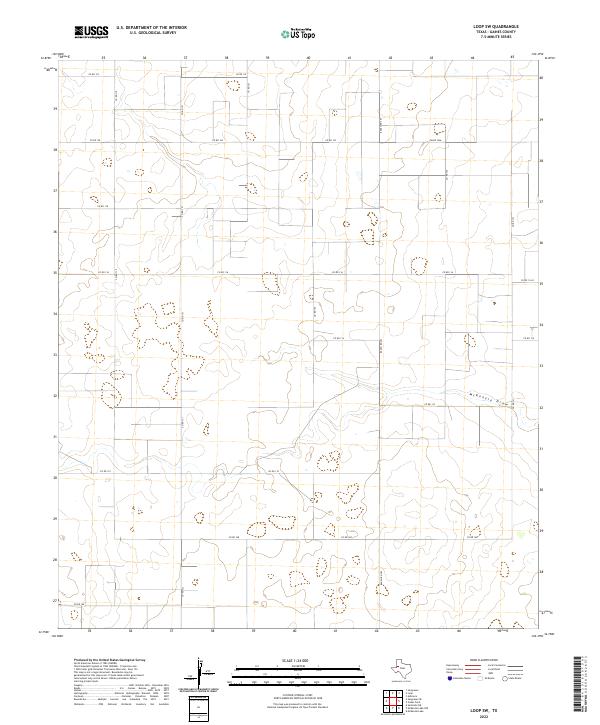
2022 Loop SW
Gaines County, TX
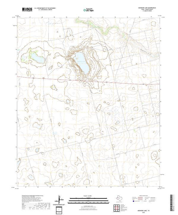
2022 McKenzie Lake
Gaines County, TX
2022 McKenzie Lake NW
Gaines County, TX
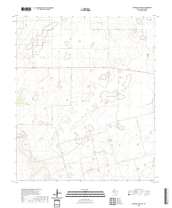
2022 McKenzie Lake SE
Gaines County, TX
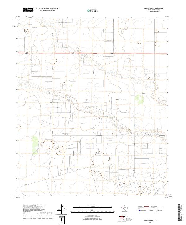
2022 Paynes Corner
Gaines County, TX
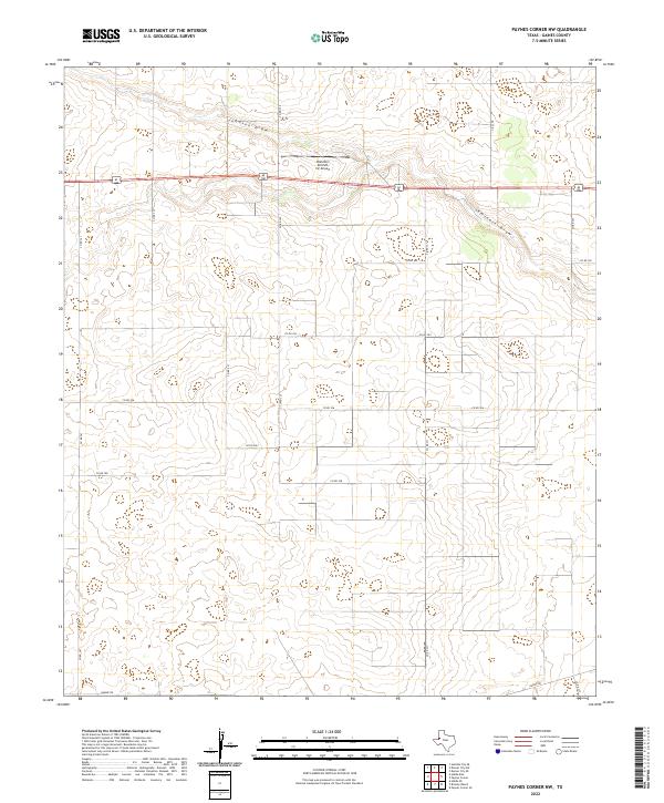
2022 Paynes Corner NW
Gaines County, TX
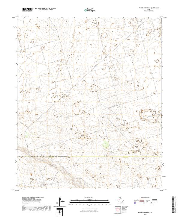
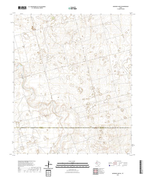
2022 Paynes Corner SE
Gaines County, TX
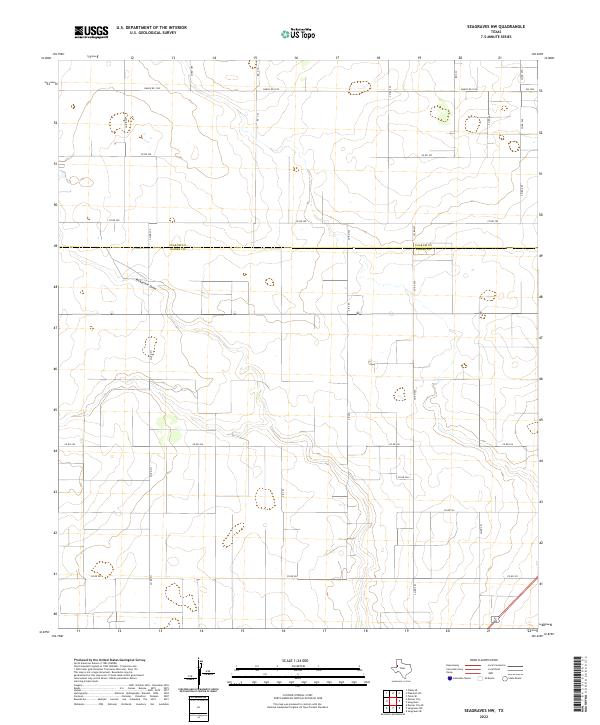
2022 Seagraves NW
Gaines County, TX
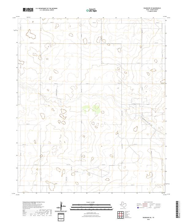
2022 Seagraves SE
Gaines County, TX
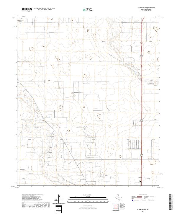
2022 Seagraves SW
Gaines County, TX
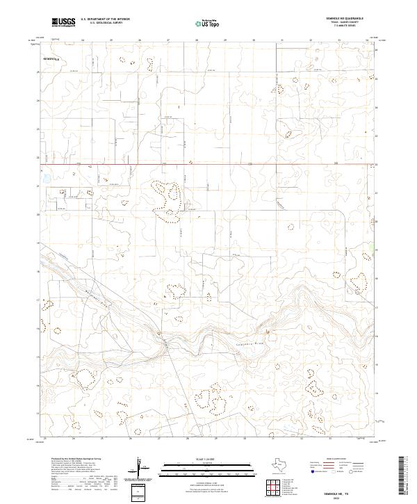
2022 Seminole NE
Gaines County, TX
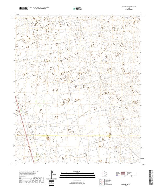
2022 Seminole SE
Gaines County, TX
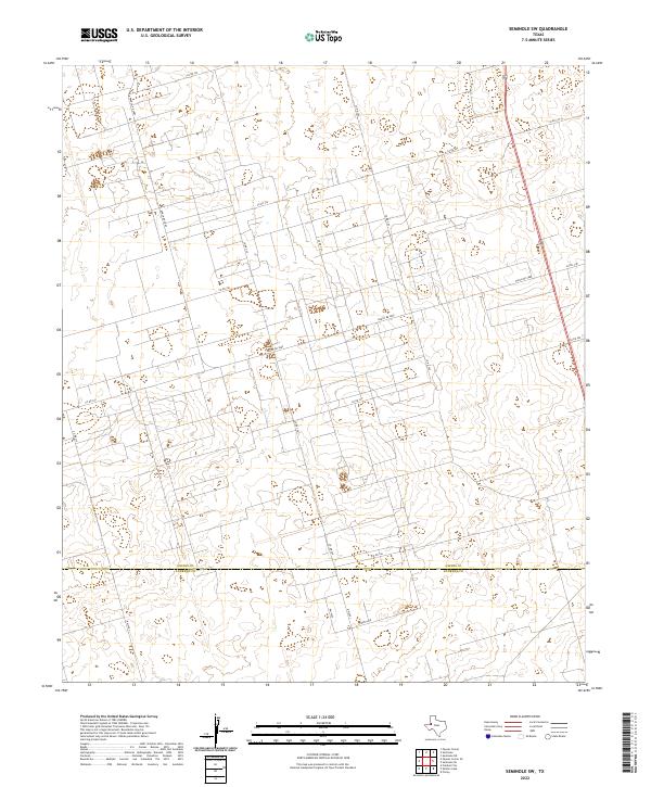
2022 Seminole SW
Gaines County, TX