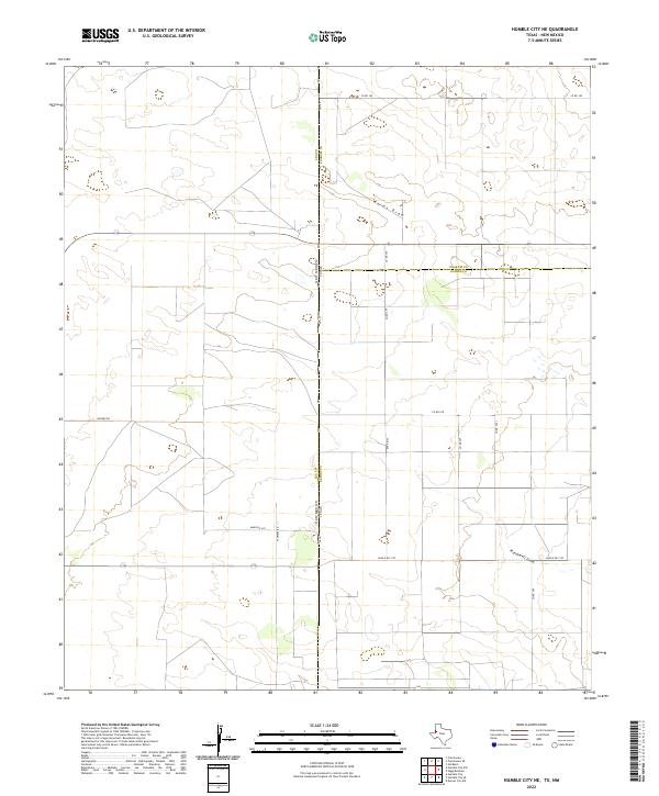
2022 Map of Humble City NE
USGS Topo · Published 2022About this map
The high plains along the state line between New Mexico and Texas are defined here by a geometric grid of rural roads and the subtle drainage patterns of the Llano Estacado. The intersection of Lea, Yoakum, and Gaines counties creates a unique tri-point landscape where administrative boundaries dictate the layout of the land. This 2022 survey documents a sparsely populated ranching and agricultural region, where ephemeral watercourses like Wards Draw and Wardswell Draw meander across the terrain, contrasting with the rigid section lines of the Public Land Survey System. Local movement is facilitated by a network of named routes including Harkey Rd and Ranch Rd 1757, reflecting the modern infrastructure of this borderland area where large-scale land divisions like t16s r38e and t16s r39e organize the territory.
Find a feature on this map
20 named features on this map. Tap any name to fly to it.
Don’t see what you’re looking for? This feature index may not catch every label — zoom into the map to look around manually.
Map Details
Editions of this 2022 Humble City NE Map
This is the sole edition of this map. No revisions or reprints were ever made.
Other maps of this area

1954 · Hobbs
USGS Topo · 1:250,000

1954 · Brownfield
USGS Topo · 1:250,000

1958 · Brownfield
USGS Topo · 1:250,000

1958 · Hobbs
USGS Topo · 1:250,000

1962 · Brownfield
USGS Topo · 1:250,000

1969 · Humble City
USGS Topo · 1:24,000

1969 · Humble City NE
USGS Topo · 1:24,000

1969 · Humble City SE
USGS Topo · 1:24,000

1970 · Prairieview
USGS Topo · 1:24,000

1970 · Prairieview SE
USGS Topo · 1:24,000