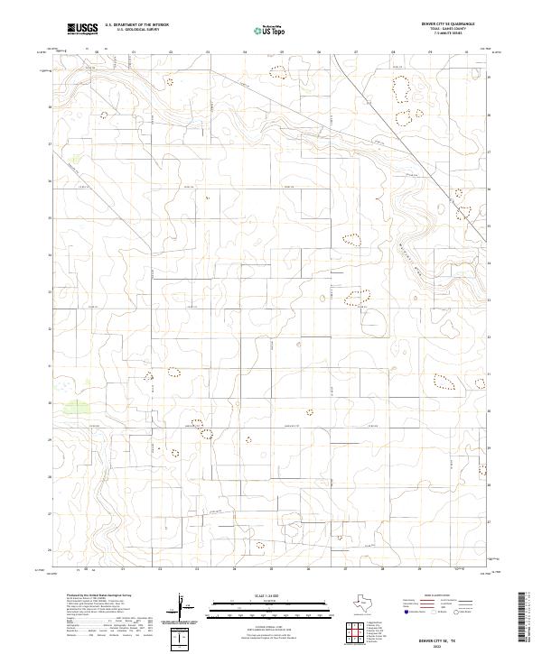
2022 Map of Denver City SE
USGS Topo · Published 2022About this map
Wardswell Draw meanders across the northeast portion of this Gaines County landscape, cutting a natural path through an otherwise highly structured grid of section lines and access roads. The terrain is defined by its agricultural and industrial layout, where a dense network of county roads like Co RD 218 and Co RD 216 segments the plains into precise rectangular plots. These thoroughfares, including Ranch Rd 1757 and FM 1757, facilitate movement through a region shaped by the practical needs of rural Texas land management.
Find a feature on this map
20 named features on this map. Tap any name to fly to it.
Don’t see what you’re looking for? This feature index may not catch every label — zoom into the map to look around manually.
Map Details
Editions of this 2022 Denver City SE Map
This is the sole edition of this map. No revisions or reprints were ever made.
Other maps of this area

1954 · Hobbs
USGS Topo · 1:250,000

1958 · Hobbs
USGS Topo · 1:250,000

1970 · Seagraves SW
USGS Topo · 1:24,000

1970 · Seagraves NW
USGS Topo · 1:24,000

1970 · Seminole
USGS Topo · 1:24,000

1971 · Paynes Corner
USGS Topo · 1:24,000

1971 · Higginbotham
USGS Topo · 1:24,000
1971 · Denver City
USGS Topo · 1:24,000

1971 · Denver City SW
USGS Topo · 1:24,000
1971 · Paynes Corner NW
USGS Topo · 1:24,000