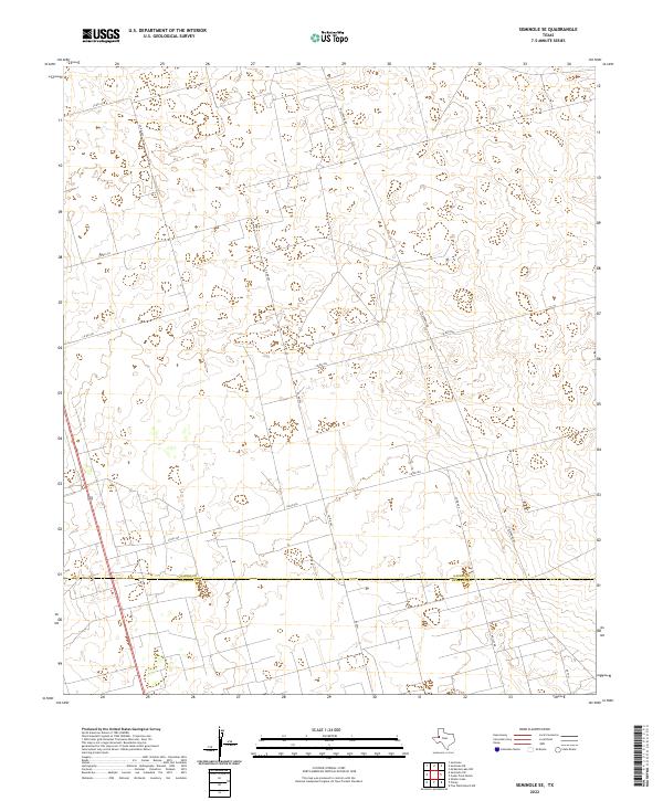
2022 Map of Seminole SE
USGS Topo · Published 2022About this map
The boundary between Gaines Co and Andrews Co bisects this West Texas landscape, a region defined by an expansive grid of rural corridors and the industrial footprint of the Permian Basin. A sparse network of county roads, including Co Rd 426 and Co Rd 405, connects isolated points of activity across the arid terrain. The path of 285 cuts through the western portion of the sheet, serving as a primary transit vein for the area. Smaller local routes like Telephone Rd, Nolley Rd, and Ne 3901 provide access to the hinterlands, reflecting the modern layout of land parcels and energy infrastructure typical of the Llano Estacado. The absence of traditional named towns emphasizes the utilitarian character of the region, where the landscape is organized around the requirements of large-scale ranching or oil and gas production.
Find a feature on this map
15 named features on this map. Tap any name to fly to it.
Don’t see what you’re looking for? This feature index may not catch every label — zoom into the map to look around manually.
Map Details
Editions of this 2022 Seminole SE Map
This is the sole edition of this map. No revisions or reprints were ever made.
Other maps of this area

1954 · Hobbs
USGS Topo · 1:250,000

1958 · Hobbs
USGS Topo · 1:250,000

1969 · Seminole SW
USGS Topo · 1:24,000

1970 · Seminole NE
USGS Topo · 1:24,000

1970 · Cedar Point Ranch
USGS Topo · 1:24,000

1970 · McKenzie Lake NW
USGS Topo · 1:24,000

1970 · Seminole SE
USGS Topo · 1:24,000

1970 · Seminole
USGS Topo · 1:24,000

1971 · Five Wells Ranch NW
USGS Topo · 1:24,000

1971 · Florey
USGS Topo · 1:24,000