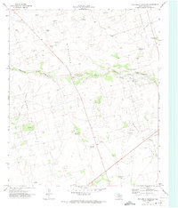
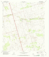
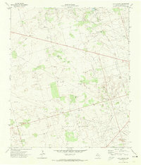
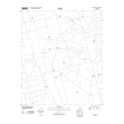
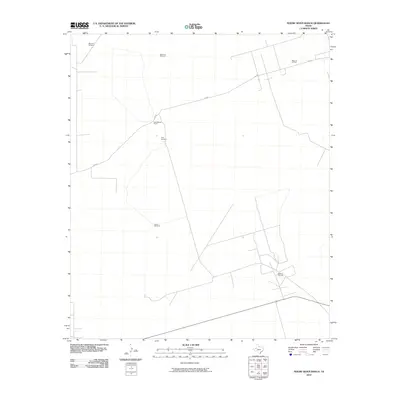
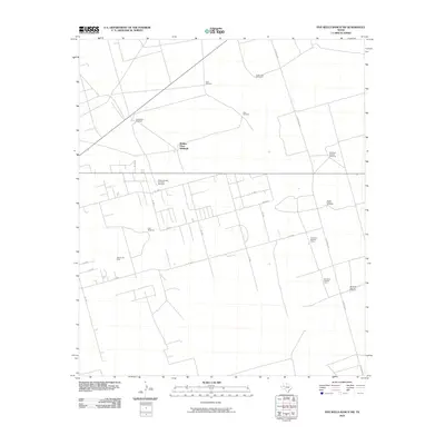
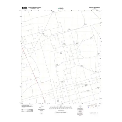
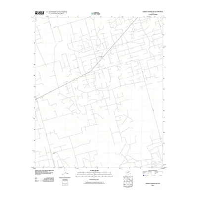
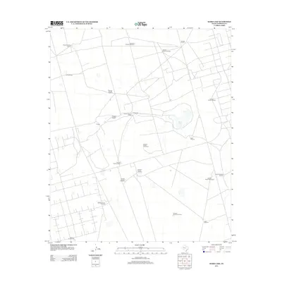
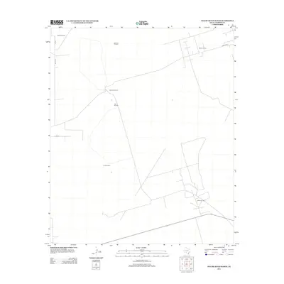
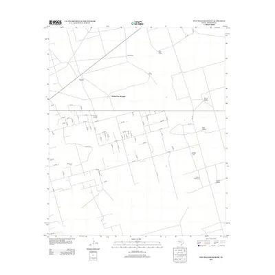
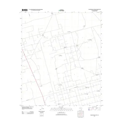
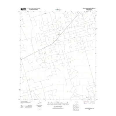
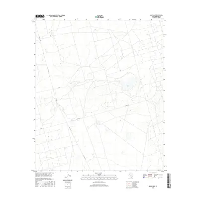
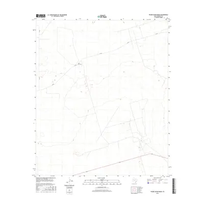
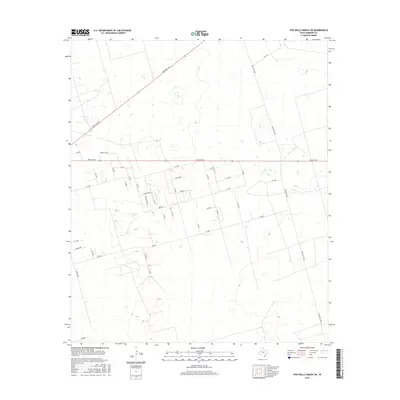
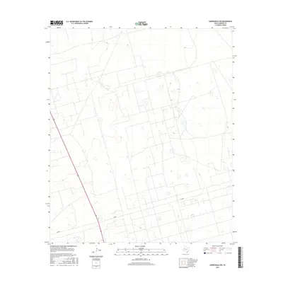
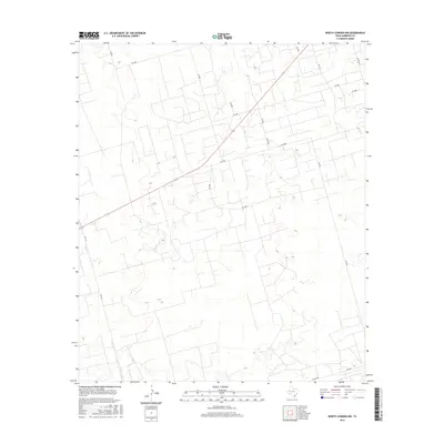
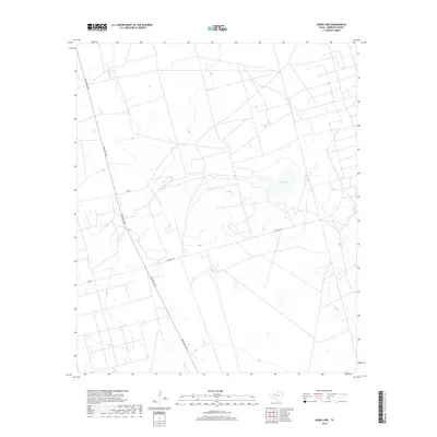
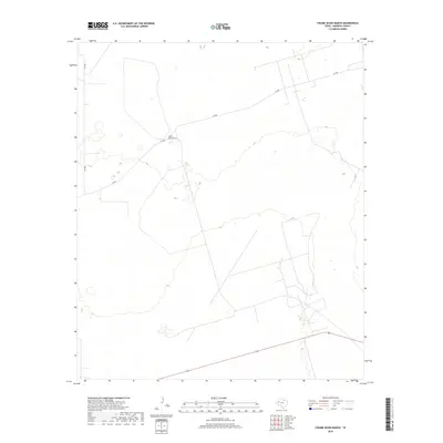
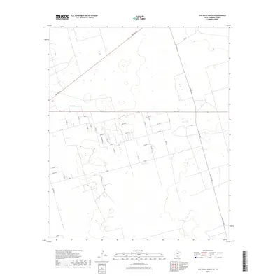
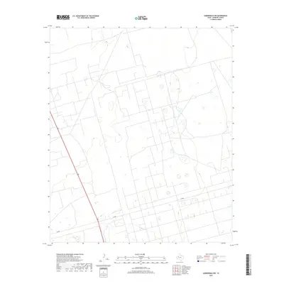
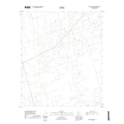
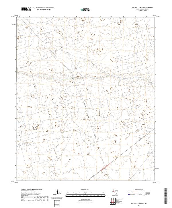
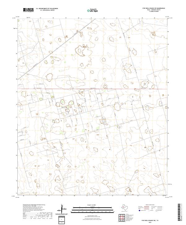
1971 Map of Five Wells Ranch NW
USGS Topo · Published 1973About this map
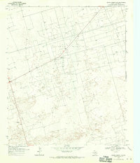
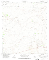
The McFarland East Oil Field and the Magutex North Oil Field dominate this pocket of the Permian Basin, where the industrial footprint of the petroleum industry overlays a sparse ranching landscape. Evidence of the region's mid-century water and oil infrastructure is everywhere, from the Andrews Municipal Aqueduct and numerous pumping stations to a vast network of pipelines and gravel pits. Despite the heavy industrial presence, the map preserves the names of earlier cattle-range landmarks such as the Bird Ranch (Hdqrs) and a series of named water sources like the Uncle John Windmill and Charley Nichols Windmill. Monument Draw cuts through the center of the sheet, providing a natural break in the terrain otherwise marked by the systematic extraction of resources in the early 1970s.
Find a feature on this map
24 named features on this map. Tap any name to fly to it.
Don’t see what you’re looking for? This feature index may not catch every label — zoom into the map to look around manually.
Map Details
Editions of this 1971 Five Wells Ranch NW Map
This is the sole edition of this map. No revisions or reprints were ever made.
Historical Maps of Andrews County Through Time
120 maps found
1968 Baird Lake
Andrews County, TX
1968 Clabber Hill Ranch
Andrews County, TX
1968 Gardendale NW
Andrews County, TX
1968 North Cowden NW
Andrews County, TX
1969 Eunice NE
Andrews County, TX
1969 Eunice SE
Andrews County, TX
1969 Jal NE
Andrews County, TX
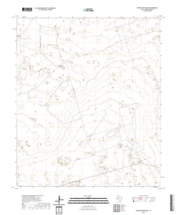
1971 Figure Seven Ranch
Andrews County, TX
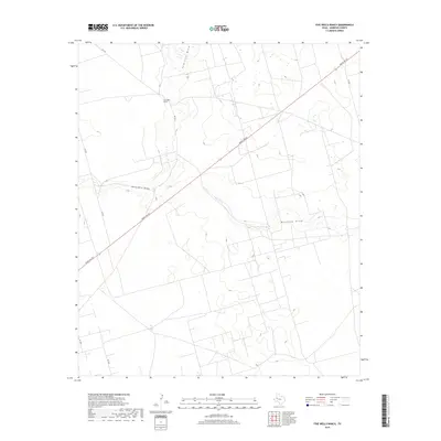
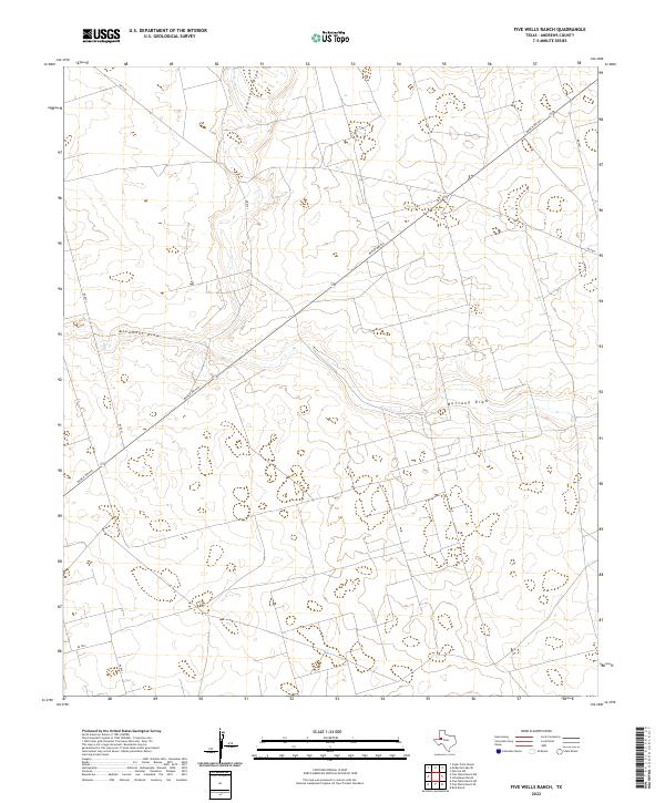
1971 Five Wells Ranch
Andrews County, TX
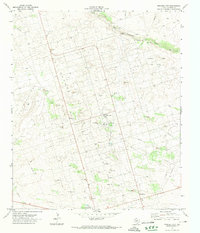
1971 Five Wells Ranch NW
Andrews County, TX
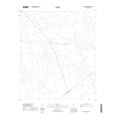
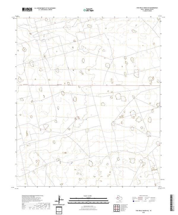
1971 Five Wells Ranch SE
Andrews County, TX
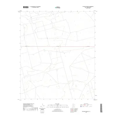
1971 Five Wells Ranch SW
Andrews County, TX
1971 Florey
Andrews County, TX
1971 Frankel City
Andrews County, TX
1971 Frankel City SW
Andrews County, TX
1971 Jumbo Hill
Andrews County, TX
1971 Lazy X Ranch
Andrews County, TX
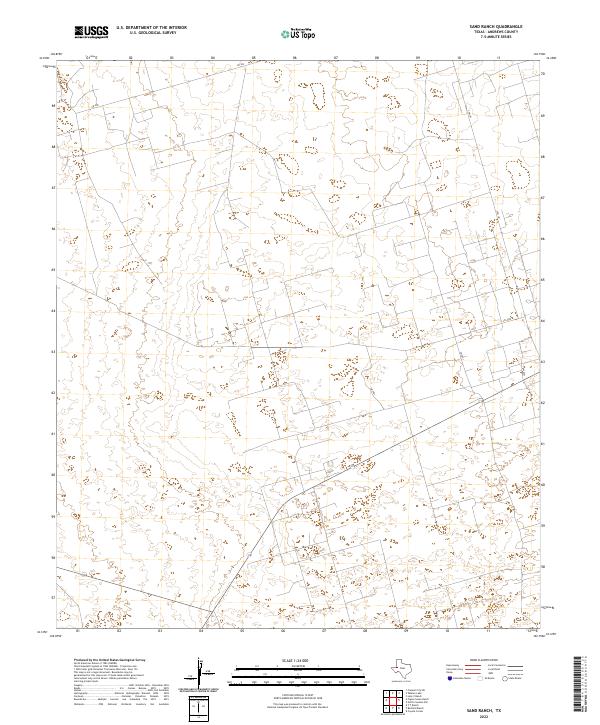
1971 Sand Ranch
Andrews County, TX
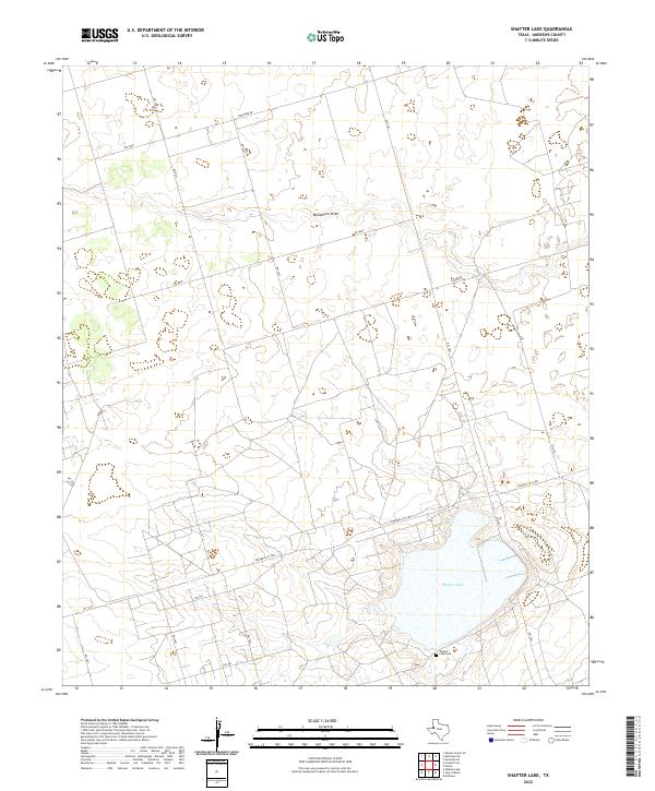
1971 Shafter Lake
Andrews County, TX
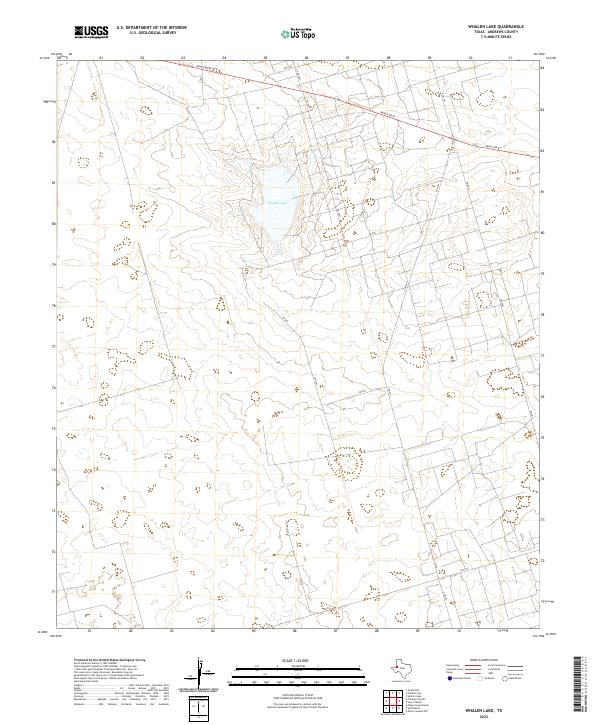
1971 Whalen Lake
Andrews County, TX
2010 Baird Lake
Andrews County, TX
2010 Clabber Hill Ranch
Andrews County, TX
2010 Eunice NE
Andrews County, TX
2010 Eunice SE
Andrews County, TX
2010 Figure Seven Ranch
Andrews County, TX
2010 Five Wells Ranch
Andrews County, TX
2010 Five Wells Ranch NW
Andrews County, TX
2010 Five Wells Ranch SE
Andrews County, TX
2010 Five Wells Ranch SW
Andrews County, TX
2010 Florey
Andrews County, TX
2010 Frankel City
Andrews County, TX
2010 Frankel City SW
Andrews County, TX
2010 Gardendale NW
Andrews County, TX
2010 Jal NE
Andrews County, TX
2010 Jumbo Hill
Andrews County, TX
2010 Lazy X Ranch
Andrews County, TX
2010 North Cowden NW
Andrews County, TX
2010 Sand Ranch
Andrews County, TX
2010 Shafter Lake
Andrews County, TX
2010 Whalen Lake
Andrews County, TX
2012 Baird Lake
Andrews County, TX
2012 Clabber Hill Ranch
Andrews County, TX
2012 Eunice NE
Andrews County, TX
2012 Eunice SE
Andrews County, TX
2012 Figure Seven Ranch
Andrews County, TX
2012 Five Wells Ranch
Andrews County, TX
2012 Five Wells Ranch NW
Andrews County, TX
2012 Five Wells Ranch SE
Andrews County, TX
2012 Five Wells Ranch SW
Andrews County, TX
2012 Florey
Andrews County, TX
2012 Frankel City
Andrews County, TX
2012 Frankel City SW
Andrews County, TX
2012 Gardendale NW
Andrews County, TX
2012 Jal NE
Andrews County, TX
2012 Jumbo Hill
Andrews County, TX
2012 Lazy X Ranch
Andrews County, TX
2012 North Cowden NW
Andrews County, TX
2012 Sand Ranch
Andrews County, TX
2012 Shafter Lake
Andrews County, TX
2012 Whalen Lake
Andrews County, TX
2016 Baird Lake
Andrews County, TX
2016 Clabber Hill Ranch
Andrews County, TX
2016 Eunice NE
Andrews County, TX
2016 Eunice SE
Andrews County, TX
2016 Figure Seven Ranch
Andrews County, TX
2016 Five Wells Ranch
Andrews County, TX
2016 Five Wells Ranch NW
Andrews County, TX
2016 Five Wells Ranch SE
Andrews County, TX
2016 Five Wells Ranch SW
Andrews County, TX
2016 Florey
Andrews County, TX
2016 Frankel City
Andrews County, TX
2016 Frankel City SW
Andrews County, TX
2016 Gardendale NW
Andrews County, TX
2016 Jal NE
Andrews County, TX
2016 Jumbo Hill
Andrews County, TX
2016 Lazy X Ranch
Andrews County, TX
2016 North Cowden NW
Andrews County, TX
2016 Sand Ranch
Andrews County, TX
2016 Shafter Lake
Andrews County, TX
2016 Whalen Lake
Andrews County, TX
2019 Baird Lake
Andrews County, TX
2019 Clabber Hill Ranch
Andrews County, TX
2019 Eunice NE
Andrews County, TX
2019 Eunice SE
Andrews County, TX
2019 Figure Seven Ranch
Andrews County, TX
2019 Five Wells Ranch
Andrews County, TX
2019 Five Wells Ranch NW
Andrews County, TX
2019 Five Wells Ranch SE
Andrews County, TX
2019 Five Wells Ranch SW
Andrews County, TX
2019 Florey
Andrews County, TX
2019 Frankel City
Andrews County, TX
2019 Frankel City SW
Andrews County, TX
2019 Gardendale NW
Andrews County, TX
2019 Jal NE
Andrews County, TX
2019 Jumbo Hill
Andrews County, TX
2019 Lazy X Ranch
Andrews County, TX
2019 North Cowden NW
Andrews County, TX
2019 Sand Ranch
Andrews County, TX
2019 Shafter Lake
Andrews County, TX
2019 Whalen Lake
Andrews County, TX
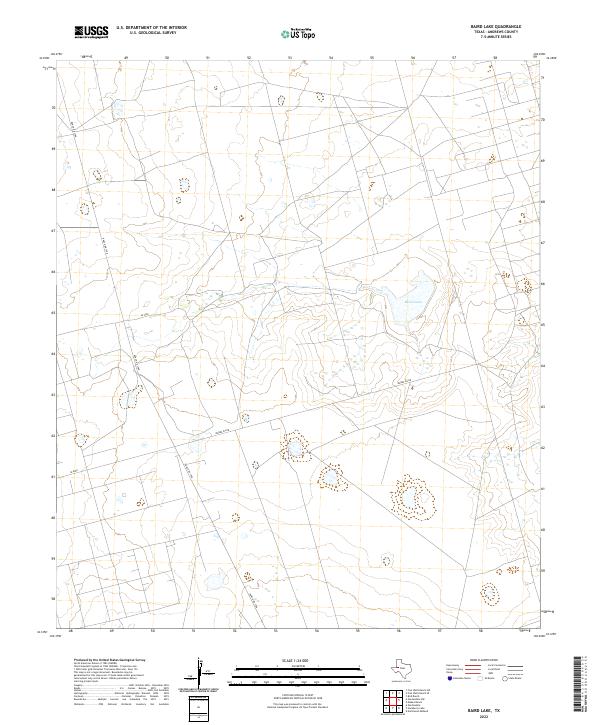
2022 Baird Lake
Andrews County, TX
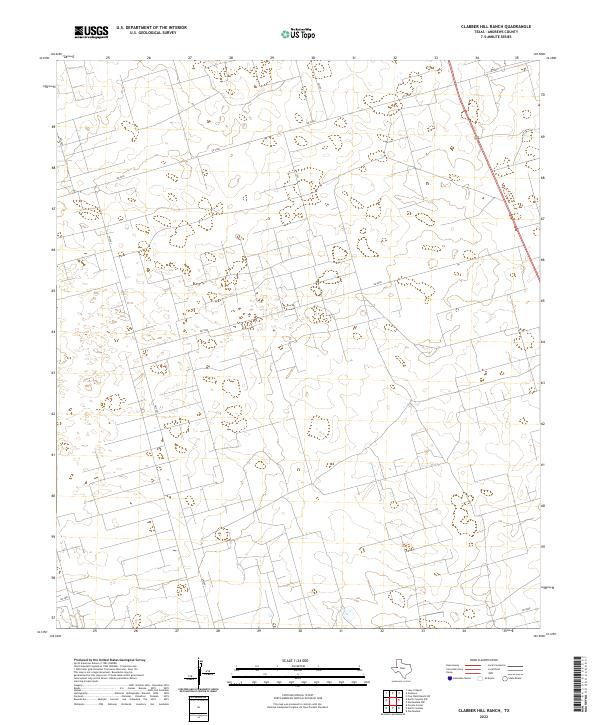
2022 Clabber Hill Ranch
Andrews County, TX
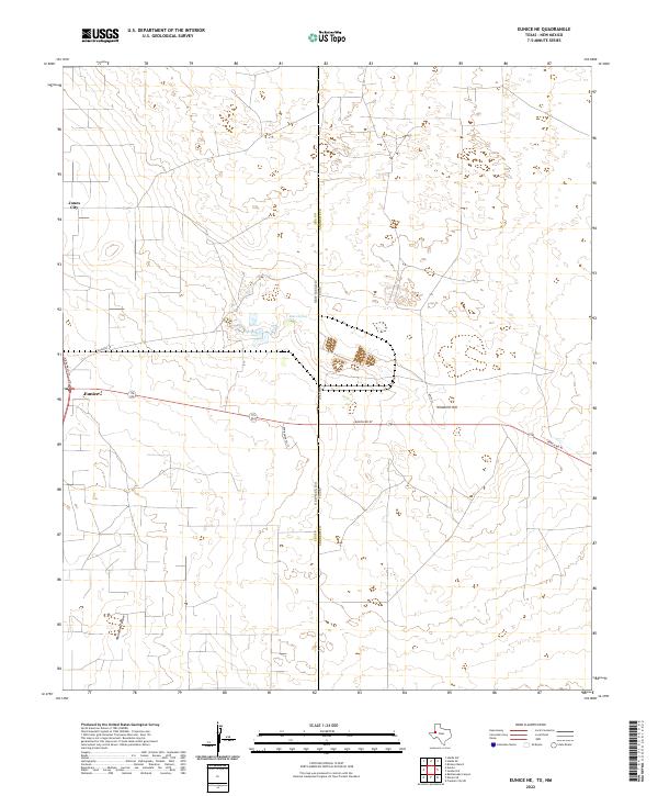
2022 Eunice NE
Andrews County, TX
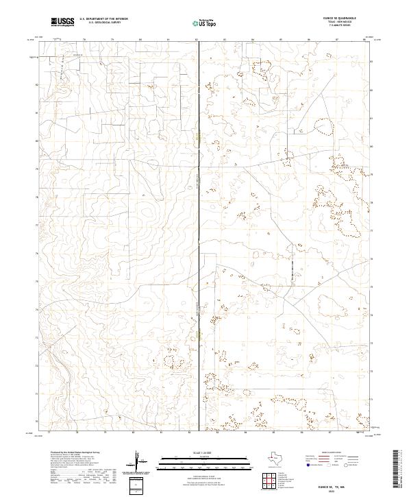
2022 Eunice SE
Andrews County, TX
2022 Figure Seven Ranch
Andrews County, TX
2022 Five Wells Ranch
Andrews County, TX
2022 Five Wells Ranch NW
Andrews County, TX
2022 Five Wells Ranch SE
Andrews County, TX
2022 Five Wells Ranch SW
Andrews County, TX
2022 Florey
Andrews County, TX
2022 Frankel City
Andrews County, TX
2022 Frankel City SW
Andrews County, TX
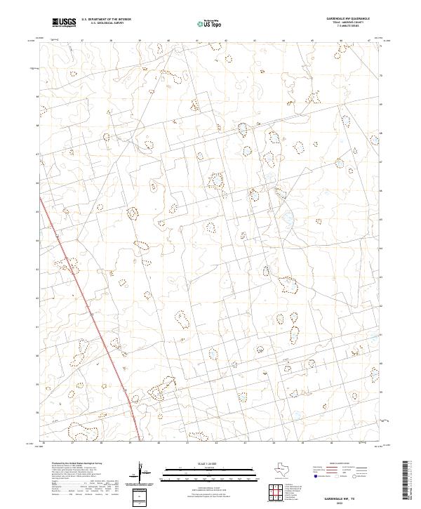
2022 Gardendale NW
Andrews County, TX
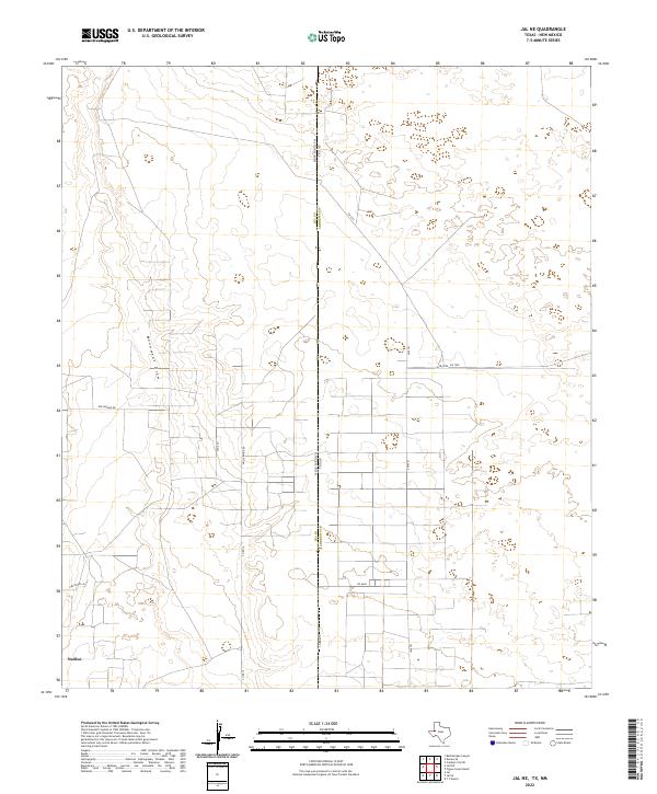
2022 Jal NE
Andrews County, TX
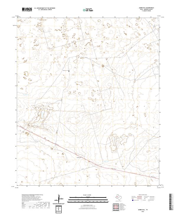
2022 Jumbo Hill
Andrews County, TX
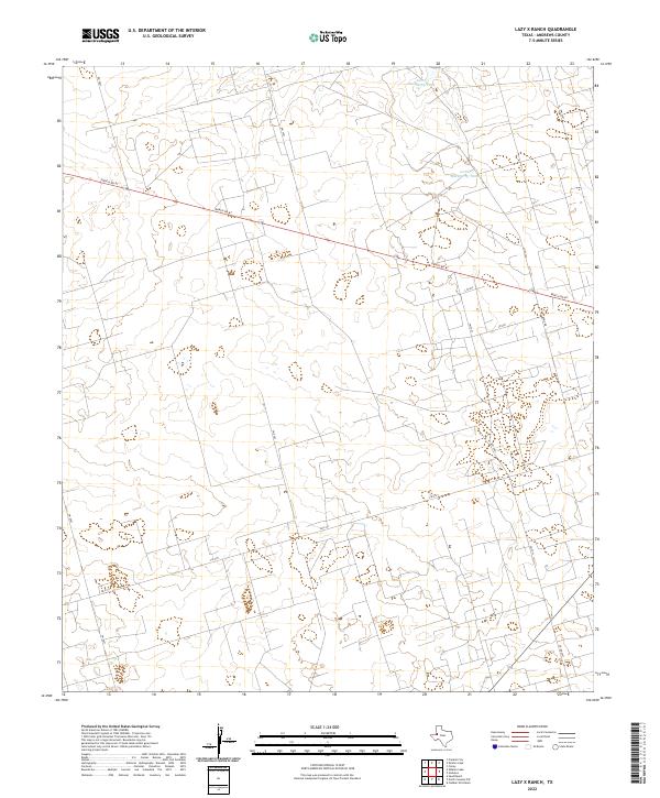
2022 Lazy X Ranch
Andrews County, TX

2022 North Cowden NW
Andrews County, TX
2022 Sand Ranch
Andrews County, TX
2022 Shafter Lake
Andrews County, TX
2022 Whalen Lake
Andrews County, TX