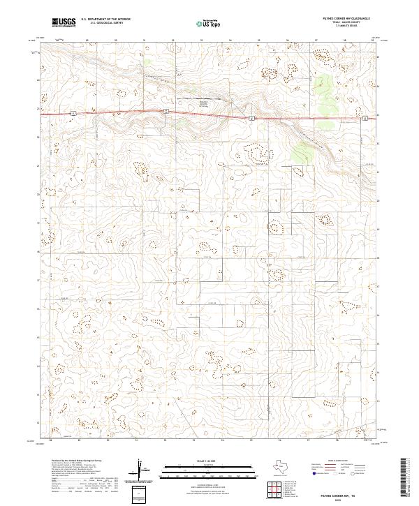
2022 Map of Paynes Corner NW
USGS Topo · Published 2022About this map
The high plains of Gaines County are defined by subtle drainage patterns and a sprawling network of rural transit lines. Two primary ephemeral watercourses, Johnson Draw and Seminole Draw, meander across the terrain, shaping the local topography. This landscape is bisected by US Highway 62/180, a major regional corridor that provides the primary east-west link through the area. Adjacent to this highway sits the Hamilton Aircraft, Inc Airport, a specialized aviation landmark that serves the local agricultural and private transport needs of the West Texas interior.
Find a feature on this map
17 named features on this map. Tap any name to fly to it.
Don’t see what you’re looking for? This feature index may not catch every label — zoom into the map to look around manually.
Map Details
Editions of this 2022 Paynes Corner NW Map
This is the sole edition of this map. No revisions or reprints were ever made.
Other maps of this area

1954 · Hobbs
USGS Topo · 1:250,000

1958 · Hobbs
USGS Topo · 1:250,000

1969 · Hobbs East
USGS Topo · 1:24,000

1969 · Hobbs SE
USGS Topo · 1:24,000

1969 · Humble City SE
USGS Topo · 1:24,000

1970 · Humble City SE
USGS Topo · 1:24,000

1971 · Paynes Corner
USGS Topo · 1:24,000

1971 · Brinson Ranch
USGS Topo · 1:24,000

1971 · Paynes Corner SE
USGS Topo · 1:24,000

1971 · Denver City SW
USGS Topo · 1:24,000