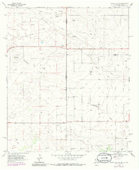
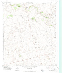
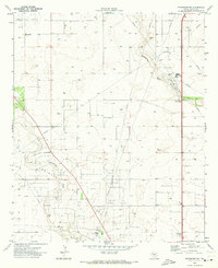
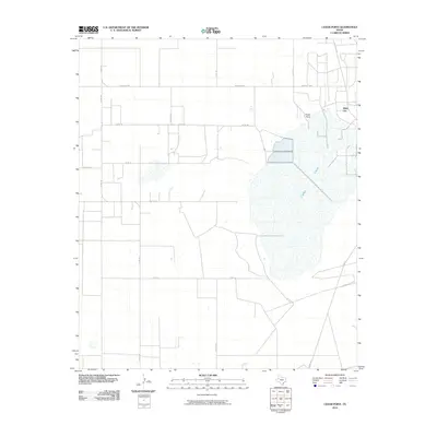
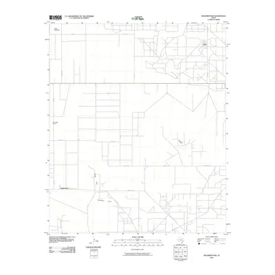
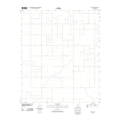
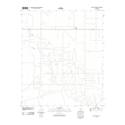
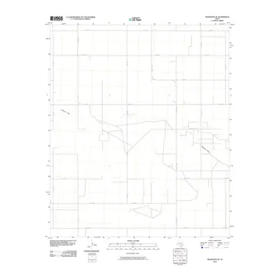
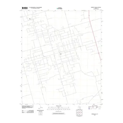
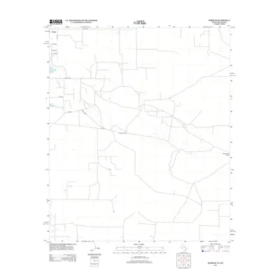
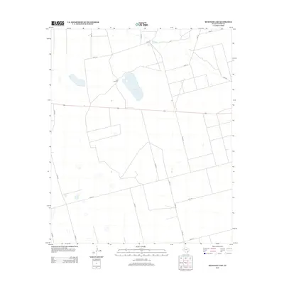
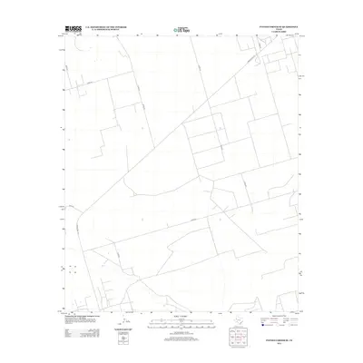
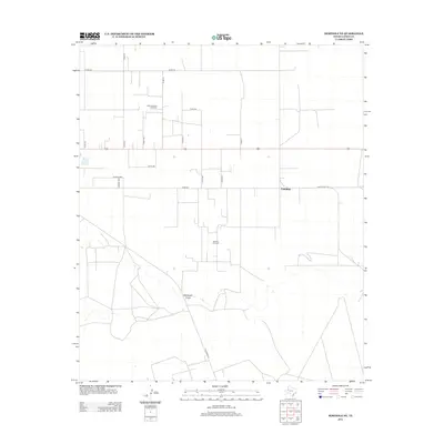
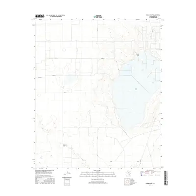
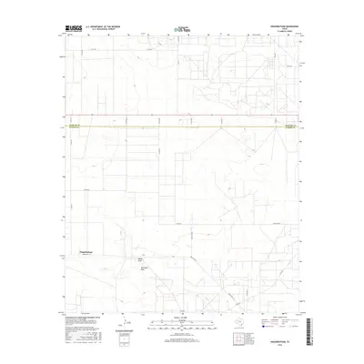
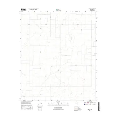
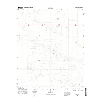
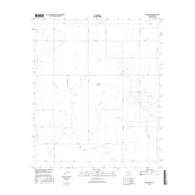
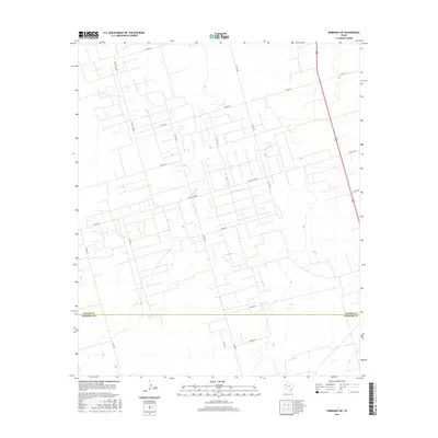
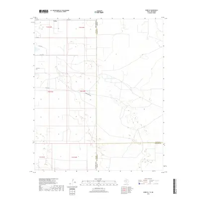
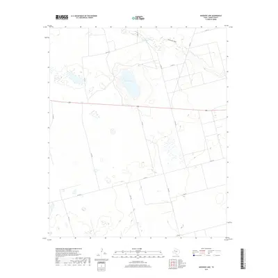
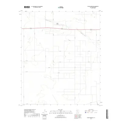
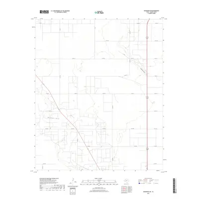
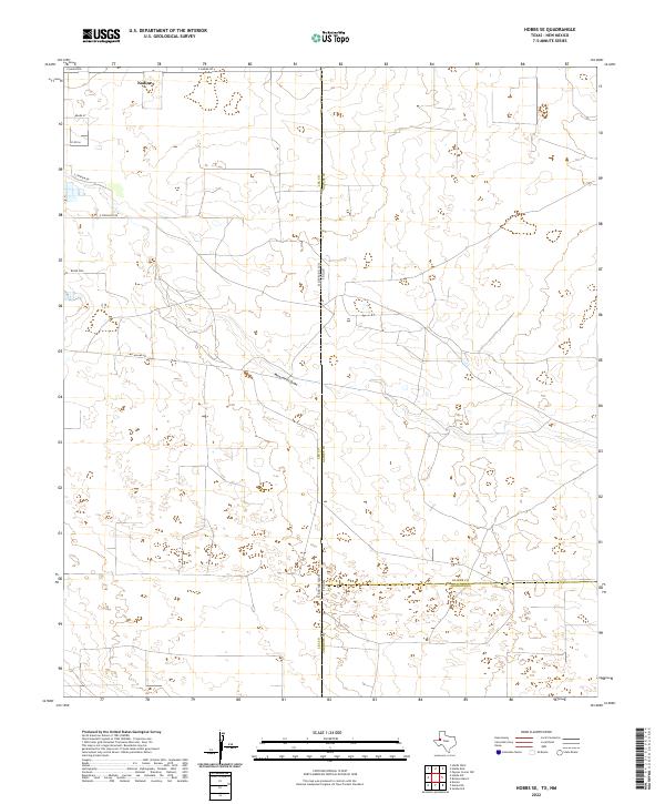
1969 Map of Hobbs SE
USGS Topo · Published 1972About this map
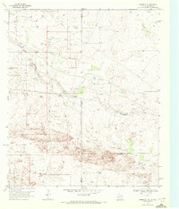
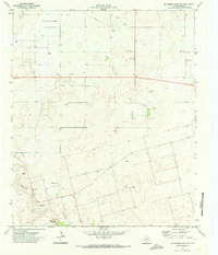
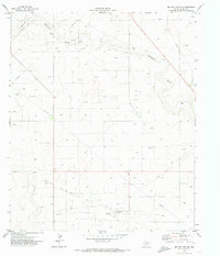
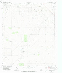
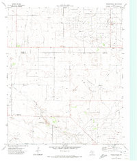
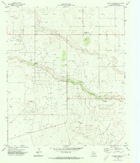
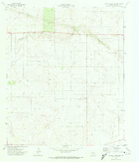
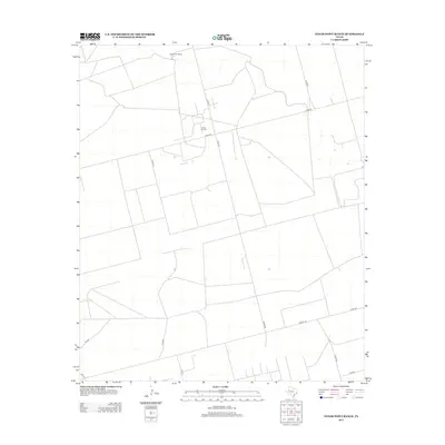
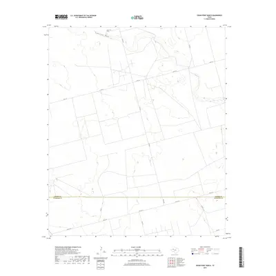
Monument Draw cuts diagonally across this high plains landscape, defining the topography of a region straddling the New Mexico and Texas border during the late 1960s. The map illustrates a transition from established ranching life, represented by the Kornegay Ranch, to an intensifying industrial presence. Extensive networks of pipelines, numerous Oil Wells, and scattered Drill Holes indicate the expansion of the Permian Basin's energy infrastructure.
Find a feature on this map
12 named features on this map. Tap any name to fly to it.
Don’t see what you’re looking for? This feature index may not catch every label — zoom into the map to look around manually.
Map Details
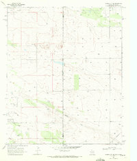
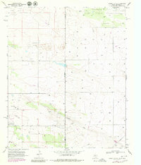
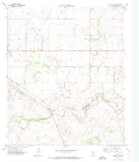
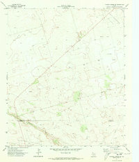
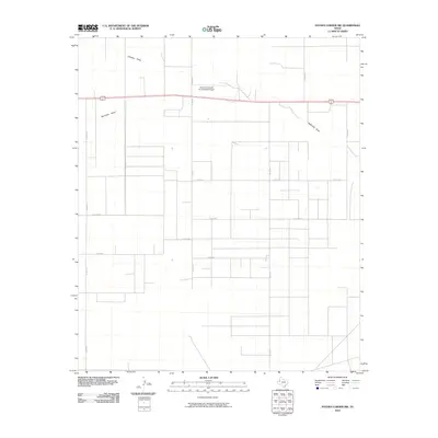
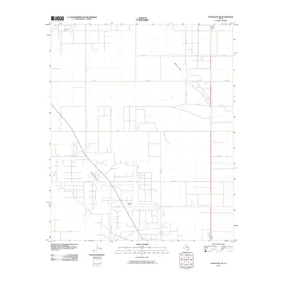
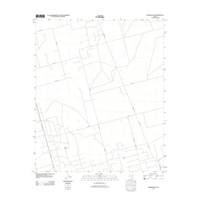
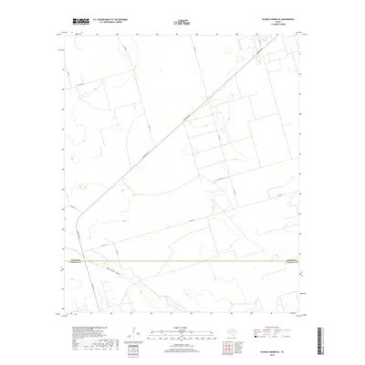
Editions of this 1969 Hobbs SE Map
2 editions found
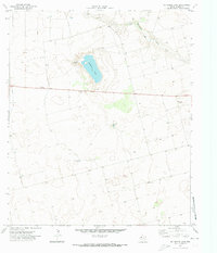
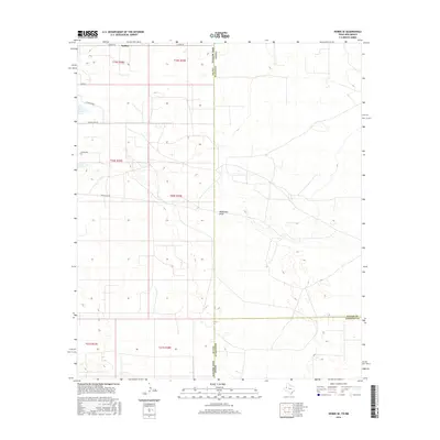
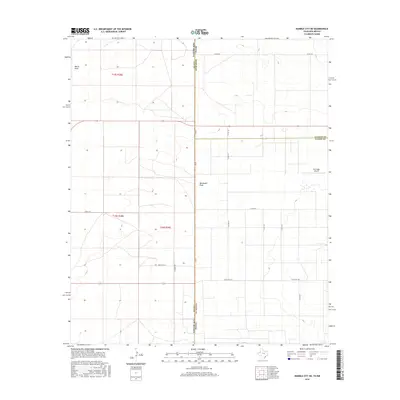
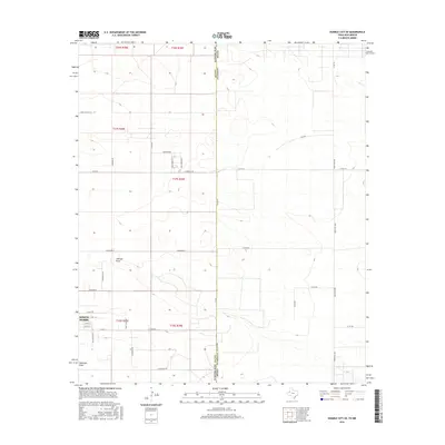
Historical Maps of Lea County Through Time
140 maps found
1969 Ashmore
Gaines County, TX
1969 Hobbs East
Gaines County, TX
1969 Hobbs SE
Gaines County, TX
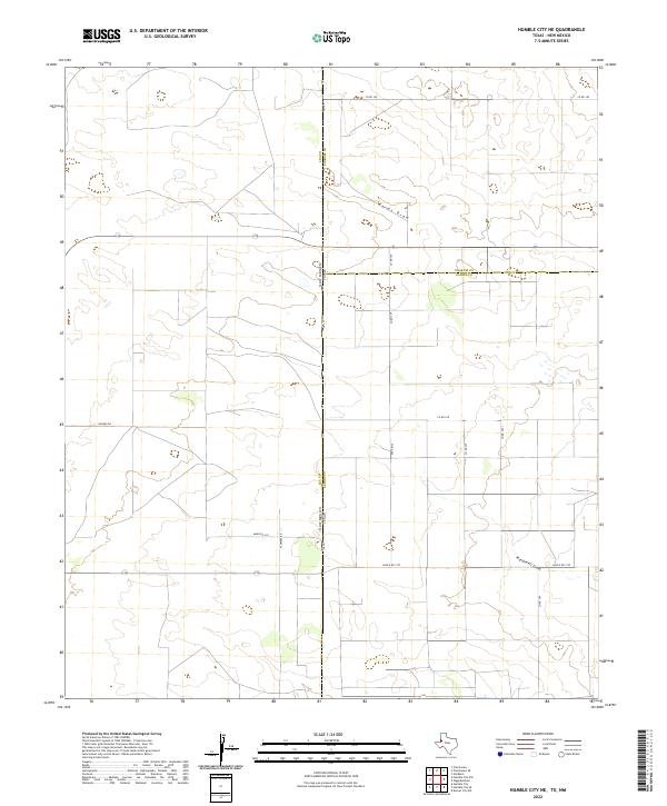
1969 Humble City NE
Gaines County, TX
1969 Humble City SE
Gaines County, TX
1969 Seminole SW
Gaines County, TX
1970 Cedar Point
Gaines County, TX
1970 Cedar Point Ranch
Gaines County, TX
1970 Humble City SE
Gaines County, TX
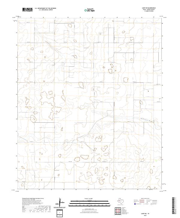
1970 Loop SW
Gaines County, TX
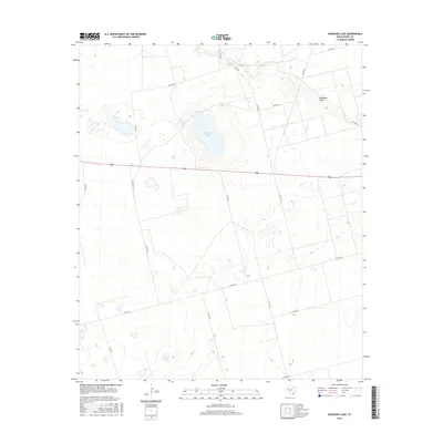
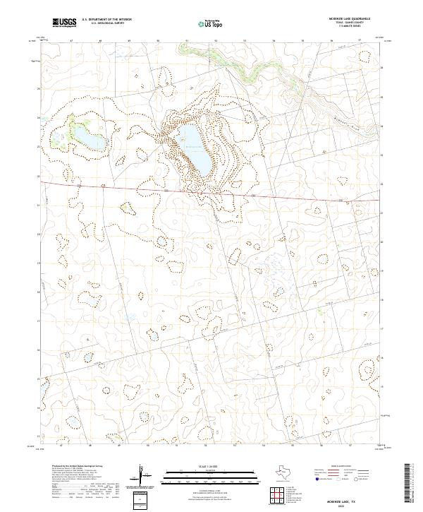
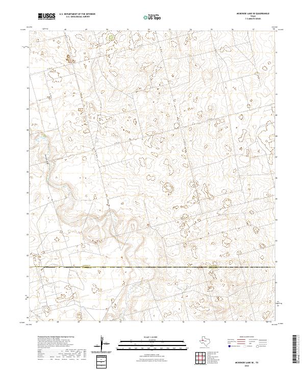
1970 McKenzie Lake
Gaines County, TX
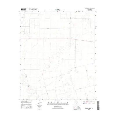
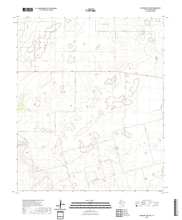
1970 McKenzie Lake NW
Gaines County, TX
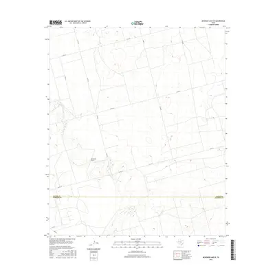
1970 McKenzie Lake SE
Gaines County, TX
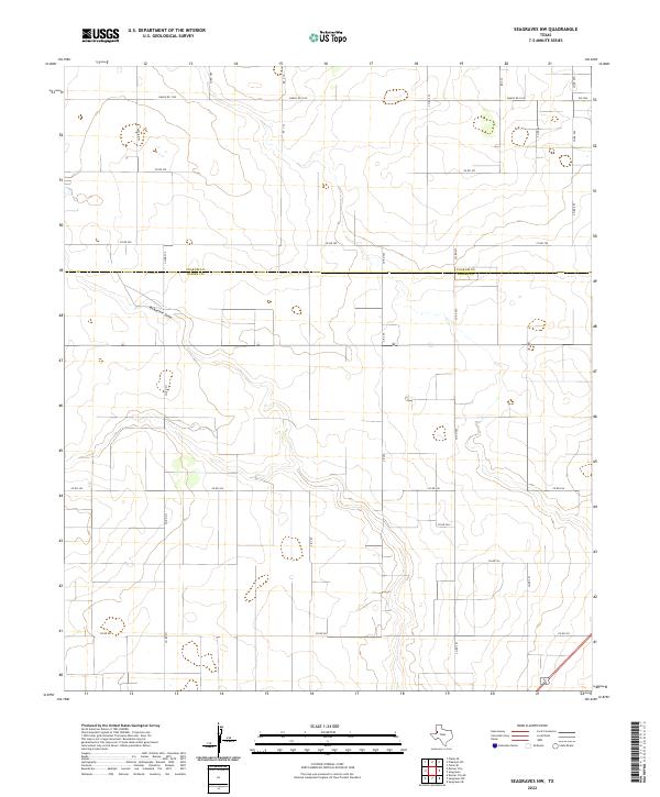
1970 Seagraves NW
Gaines County, TX
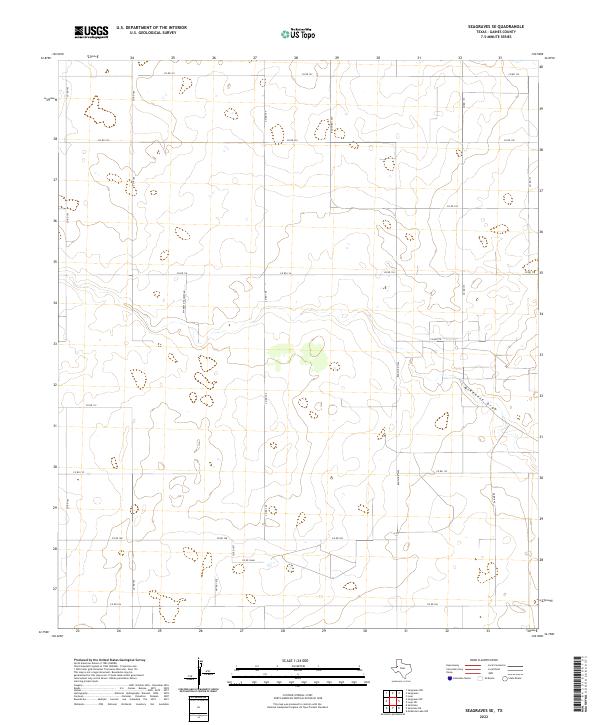
1970 Seagraves SE
Gaines County, TX
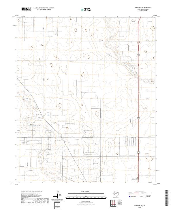
1970 Seagraves SW
Gaines County, TX
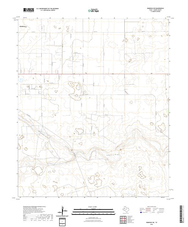
1970 Seminole NE
Gaines County, TX
1970 Seminole SE
Gaines County, TX
1971 Brinson Ranch
Gaines County, TX
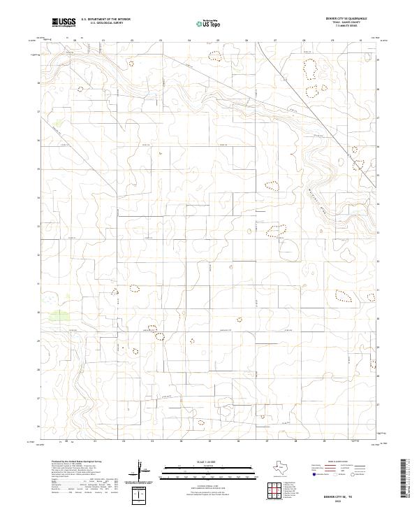
1971 Denver City SE
Gaines County, TX
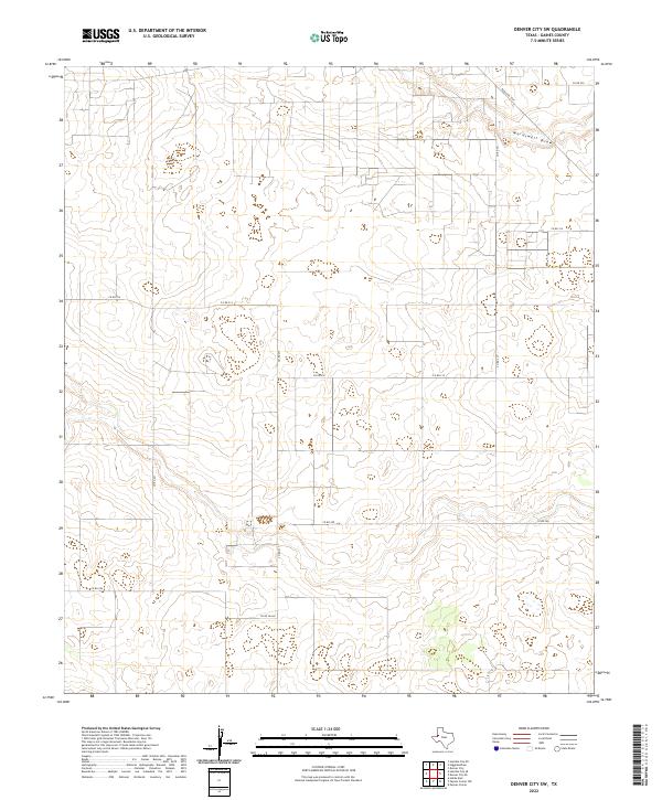
1971 Denver City SW
Gaines County, TX
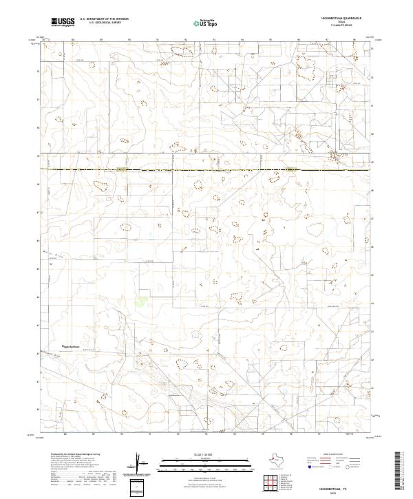
1971 Higginbotham
Gaines County, TX
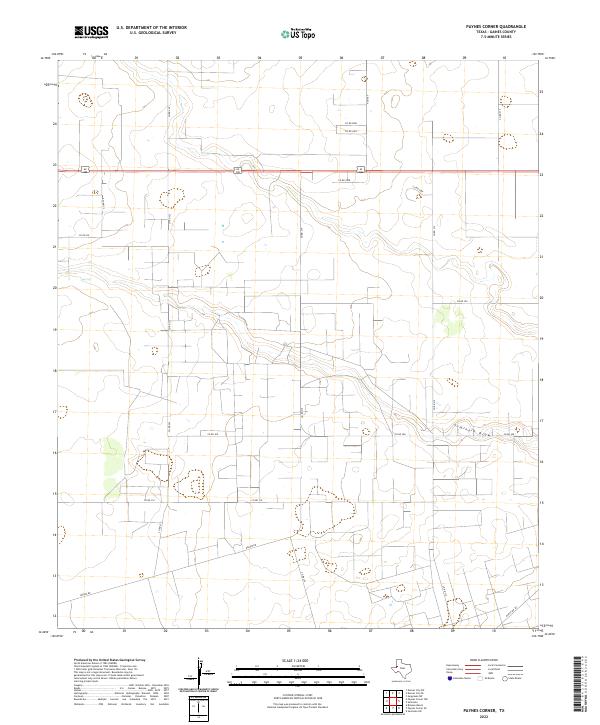
1971 Paynes Corner
Gaines County, TX
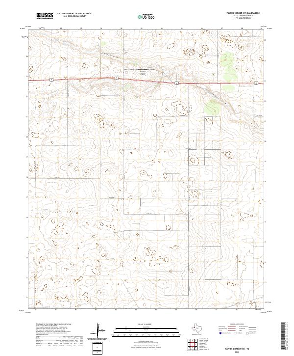
1971 Paynes Corner NW
Gaines County, TX
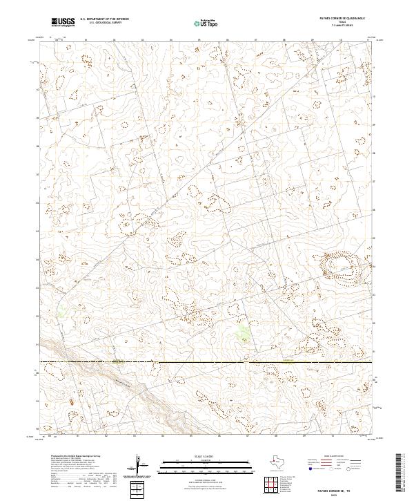
1971 Paynes Corner SE
Gaines County, TX
2010 Ashmore
Gaines County, TX
2010 Brinson Ranch
Gaines County, TX
2010 Cedar Point
Gaines County, TX
2010 Cedar Point Ranch
Gaines County, TX
2010 Denver City SE
Gaines County, TX
2010 Denver City SW
Gaines County, TX
2010 Higginbotham
Gaines County, TX
2010 Hobbs SE
Gaines County, TX
2010 Humble City NE
Gaines County, TX
2010 Humble City SE
Gaines County, TX
2010 Loop SW
Gaines County, TX
2010 McKenzie Lake
Gaines County, TX
2010 McKenzie Lake NW
Gaines County, TX
2010 McKenzie Lake SE
Gaines County, TX
2010 Paynes Corner
Gaines County, TX
2010 Paynes Corner NW
Gaines County, TX
2010 Paynes Corner SE
Gaines County, TX
2010 Seagraves NW
Gaines County, TX
2010 Seagraves SE
Gaines County, TX
2010 Seagraves SW
Gaines County, TX
2010 Seminole NE
Gaines County, TX
2010 Seminole SE
Gaines County, TX
2010 Seminole SW
Gaines County, TX
2012 Ashmore
Gaines County, TX
2012 Brinson Ranch
Gaines County, TX
2012 Cedar Point
Gaines County, TX
2012 Cedar Point Ranch
Gaines County, TX
2012 Denver City SE
Gaines County, TX
2012 Denver City SW
Gaines County, TX
2012 Higginbotham
Gaines County, TX
2012 Hobbs SE
Gaines County, TX
2012 Humble City NE
Gaines County, TX
2012 Humble City SE
Gaines County, TX
2012 Loop SW
Gaines County, TX
2012 McKenzie Lake
Gaines County, TX
2012 McKenzie Lake NW
Gaines County, TX
2012 McKenzie Lake SE
Gaines County, TX

2012 Paynes Corner
Gaines County, TX
2012 Paynes Corner NW
Gaines County, TX
2012 Paynes Corner SE
Gaines County, TX
2012 Seagraves NW
Gaines County, TX
2012 Seagraves SE
Gaines County, TX
2012 Seagraves SW
Gaines County, TX
2012 Seminole NE
Gaines County, TX
2012 Seminole SE
Gaines County, TX
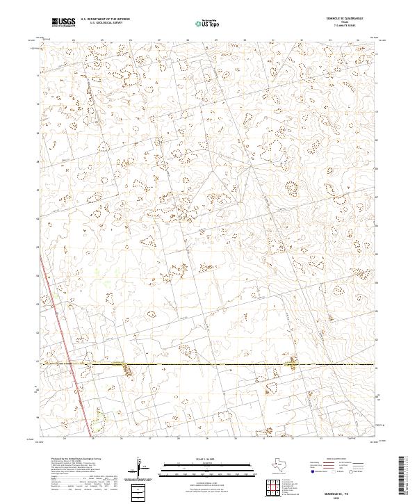
2012 Seminole SW
Gaines County, TX
2016 Ashmore
Gaines County, TX

2016 Brinson Ranch
Gaines County, TX
2016 Cedar Point
Gaines County, TX
2016 Cedar Point Ranch
Gaines County, TX
2016 Denver City SE
Gaines County, TX
2016 Denver City SW
Gaines County, TX
2016 Higginbotham
Gaines County, TX
2016 Hobbs SE
Gaines County, TX
2016 Humble City NE
Gaines County, TX
2016 Humble City SE
Gaines County, TX
2016 Loop SW
Gaines County, TX
2016 McKenzie Lake
Gaines County, TX
2016 McKenzie Lake NW
Gaines County, TX
2016 McKenzie Lake SE
Gaines County, TX
2016 Paynes Corner
Gaines County, TX
2016 Paynes Corner NW
Gaines County, TX
2016 Paynes Corner SE
Gaines County, TX
2016 Seagraves NW
Gaines County, TX
2016 Seagraves SE
Gaines County, TX
2016 Seagraves SW
Gaines County, TX
2016 Seminole NE
Gaines County, TX
2016 Seminole SE
Gaines County, TX
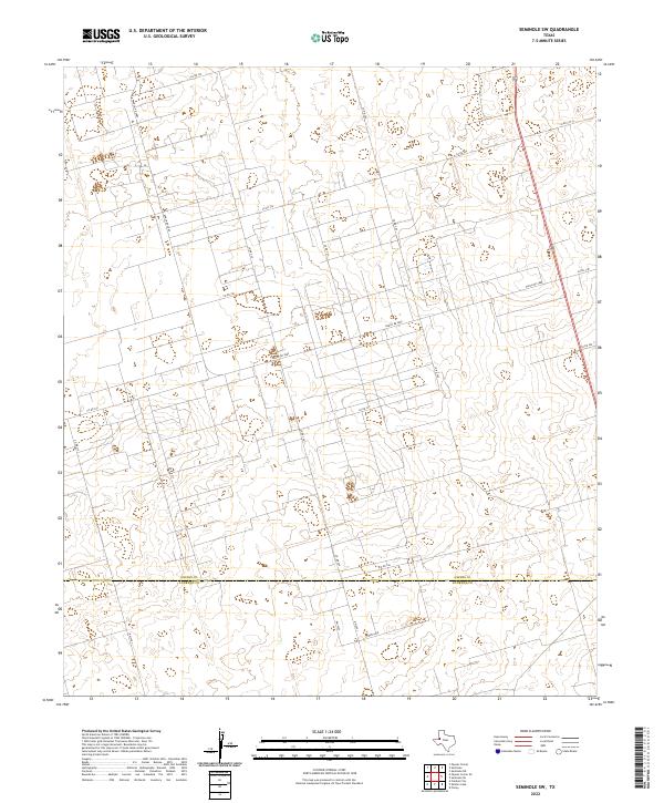
2016 Seminole SW
Gaines County, TX
2019 Ashmore
Gaines County, TX
2019 Brinson Ranch
Gaines County, TX
2019 Cedar Point
Gaines County, TX
2019 Cedar Point Ranch
Gaines County, TX
2019 Denver City SE
Gaines County, TX
2019 Denver City SW
Gaines County, TX
2019 Higginbotham
Gaines County, TX
2019 Hobbs SE
Gaines County, TX
2019 Humble City NE
Gaines County, TX
2019 Humble City SE
Gaines County, TX
2019 Loop SW
Gaines County, TX
2019 McKenzie Lake
Gaines County, TX
2019 McKenzie Lake NW
Gaines County, TX
2019 McKenzie Lake SE
Gaines County, TX
2019 Paynes Corner
Gaines County, TX
2019 Paynes Corner NW
Gaines County, TX
2019 Paynes Corner SE
Gaines County, TX
2019 Seagraves NW
Gaines County, TX
2019 Seagraves SE
Gaines County, TX
2019 Seagraves SW
Gaines County, TX
2019 Seminole NE
Gaines County, TX
2019 Seminole SE
Gaines County, TX
2019 Seminole SW
Gaines County, TX
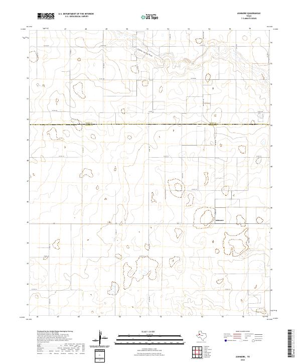
2022 Ashmore
Gaines County, TX
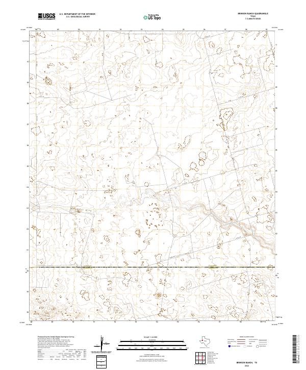
2022 Brinson Ranch
Gaines County, TX
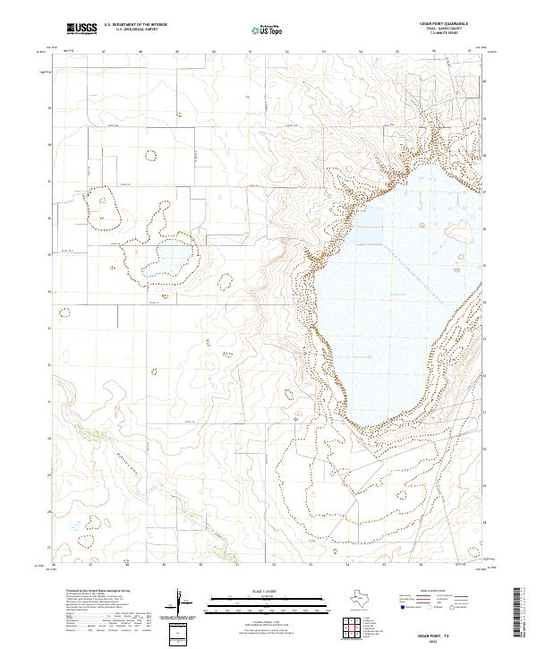
2022 Cedar Point
Gaines County, TX
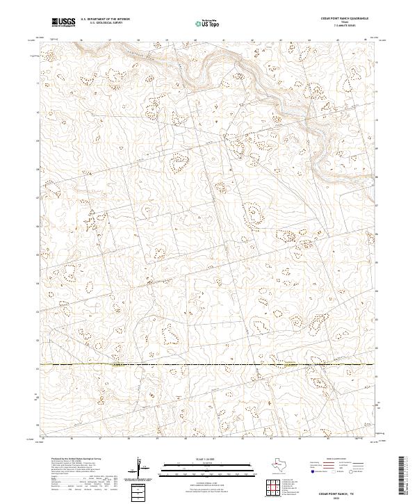
2022 Cedar Point Ranch
Gaines County, TX
2022 Denver City SE
Gaines County, TX
2022 Denver City SW
Gaines County, TX
2022 Higginbotham
Gaines County, TX
2022 Hobbs SE
Gaines County, TX
2022 Humble City NE
Gaines County, TX

2022 Humble City SE
Gaines County, TX
2022 Loop SW
Gaines County, TX
2022 McKenzie Lake
Gaines County, TX
2022 McKenzie Lake NW
Gaines County, TX
2022 McKenzie Lake SE
Gaines County, TX
2022 Paynes Corner
Gaines County, TX
2022 Paynes Corner NW
Gaines County, TX
2022 Paynes Corner SE
Gaines County, TX
2022 Seagraves NW
Gaines County, TX
2022 Seagraves SE
Gaines County, TX
2022 Seagraves SW
Gaines County, TX
2022 Seminole NE
Gaines County, TX
2022 Seminole SE
Gaines County, TX
2022 Seminole SW
Gaines County, TX