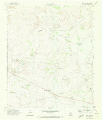
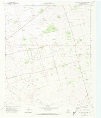
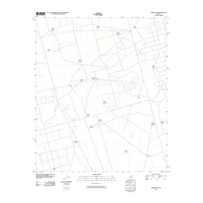
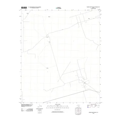
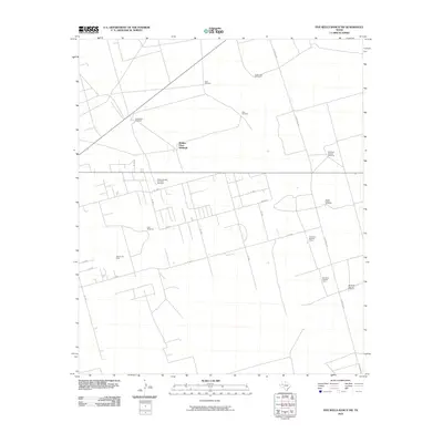
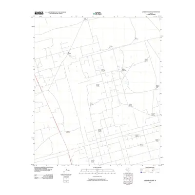
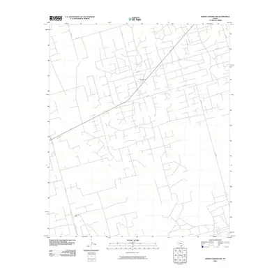
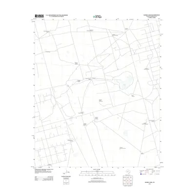
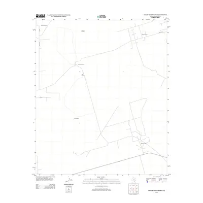
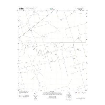
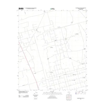
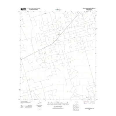
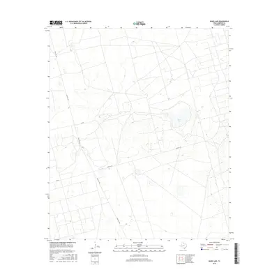
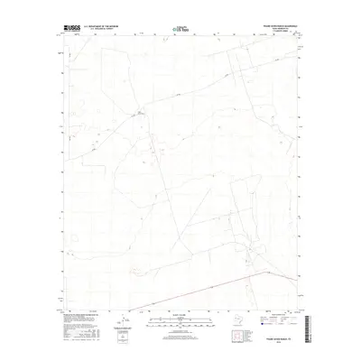
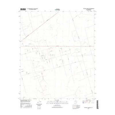
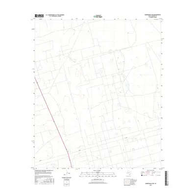
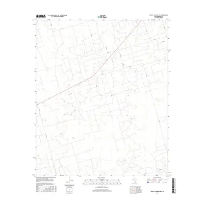
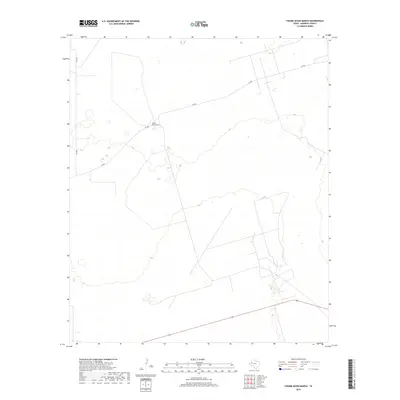
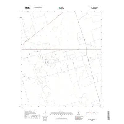
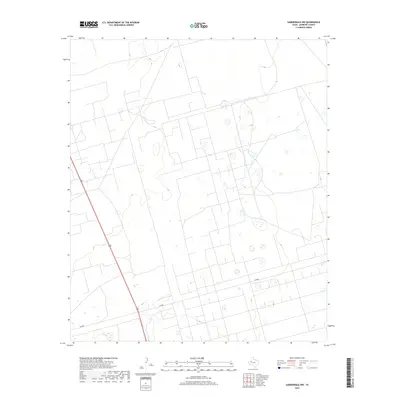
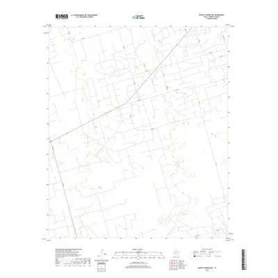
1971 Map of Jumbo Hill
USGS Topo · Published 1974About this map
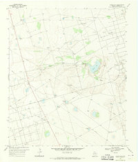
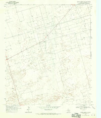
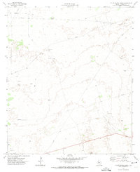
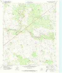
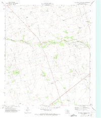
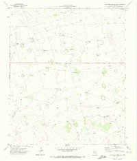
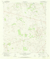
Fullerton Oil Field dominates this West Texas landscape, where the extraction of natural resources shaped the development of Andrews County. Surveyed in the early 1970s, the terrain is marked by a high density of Drill Holes, pipelines, and a Pumping Sta, illustrating the industrial intensity of the era. Despite this modernization, older ranching signatures remain, including the McWhorter Ranch and Morgan Ranch, alongside several scattered water sources like Jumbo Tank. A small, isolated Cem and prominent landmarks like Jumbo Hill provide valuable reference points for local history and genealogy. The map also captures an extensive network of windmills, such as the Kelly Windmill and Homestead Windmill, which were vital for sustaining livestock across this arid topography before the infrastructure of the oil field became the primary feature of the land.
Find a feature on this map
20 named features on this map. Tap any name to fly to it.
Don’t see what you’re looking for? This feature index may not catch every label — zoom into the map to look around manually.
Map Details
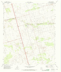
Editions of this 1971 Jumbo Hill Map
This is the sole edition of this map. No revisions or reprints were ever made.
Historical Maps of Andrews County Through Time
120 maps found
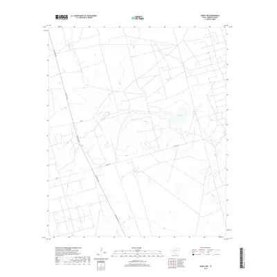
1968 Baird Lake
Andrews County, TX
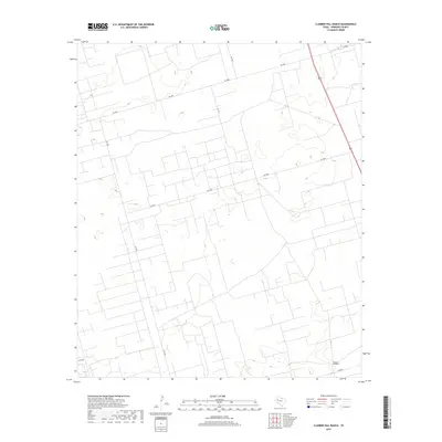
1968 Clabber Hill Ranch
Andrews County, TX
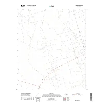
1968 Gardendale NW
Andrews County, TX
1968 North Cowden NW
Andrews County, TX
1969 Eunice NE
Andrews County, TX
1969 Eunice SE
Andrews County, TX
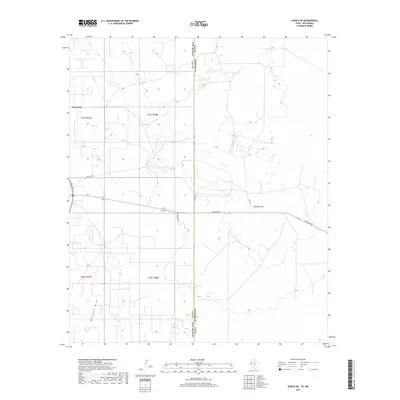
1969 Jal NE
Andrews County, TX
1971 Figure Seven Ranch
Andrews County, TX
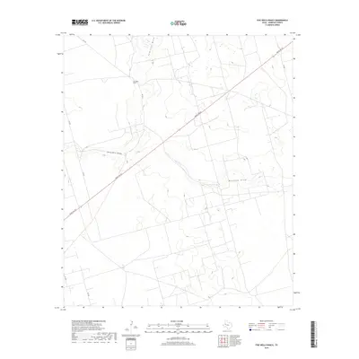
1971 Five Wells Ranch
Andrews County, TX
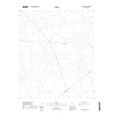
1971 Five Wells Ranch NW
Andrews County, TX
1971 Five Wells Ranch SE
Andrews County, TX
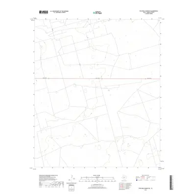
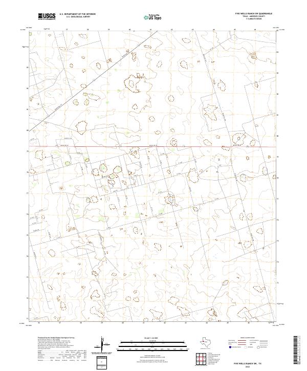
1971 Five Wells Ranch SW
Andrews County, TX
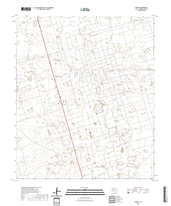
1971 Florey
Andrews County, TX
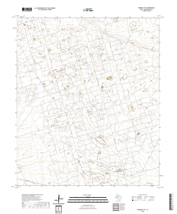
1971 Frankel City
Andrews County, TX
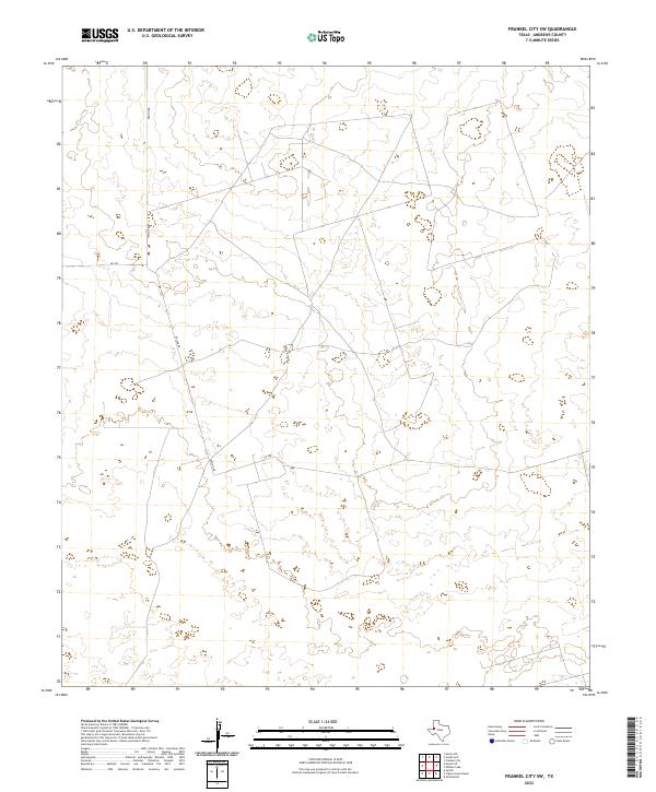
1971 Frankel City SW
Andrews County, TX
1971 Jumbo Hill
Andrews County, TX
1971 Lazy X Ranch
Andrews County, TX
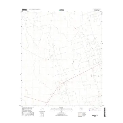
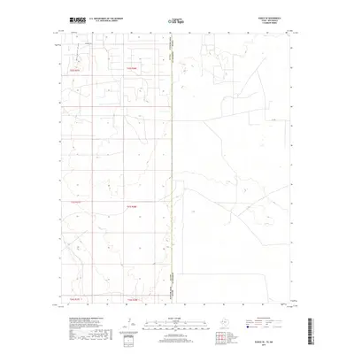
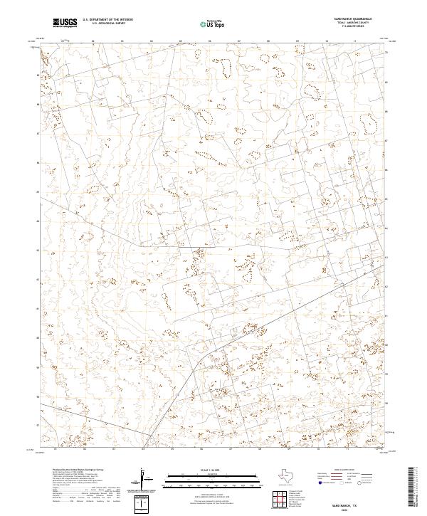
1971 Sand Ranch
Andrews County, TX
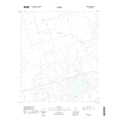
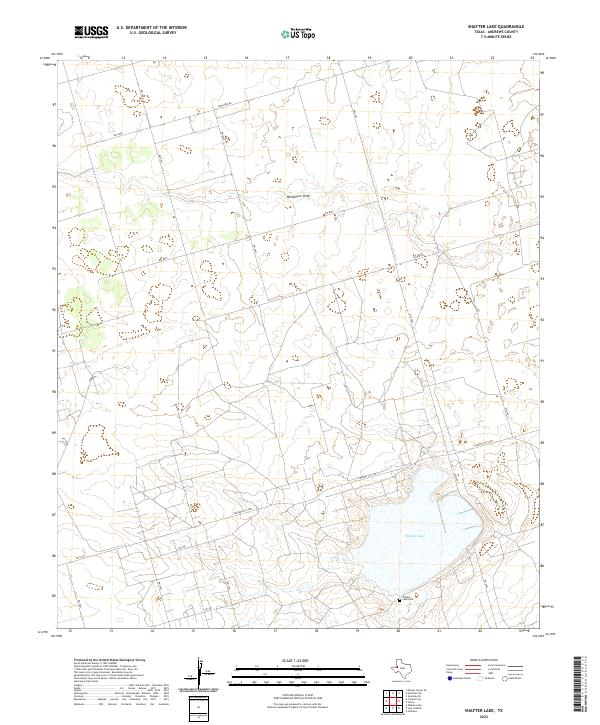
1971 Shafter Lake
Andrews County, TX
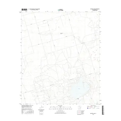
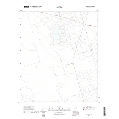
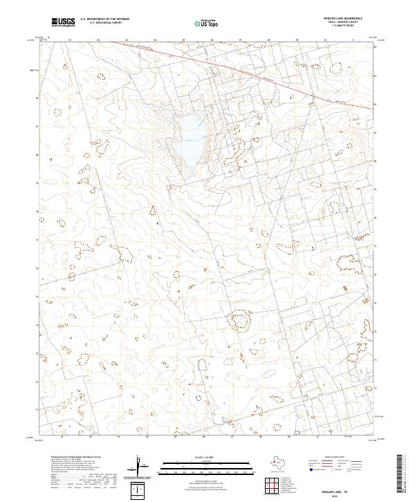
1971 Whalen Lake
Andrews County, TX
2010 Baird Lake
Andrews County, TX
2010 Clabber Hill Ranch
Andrews County, TX
2010 Eunice NE
Andrews County, TX
2010 Eunice SE
Andrews County, TX
2010 Figure Seven Ranch
Andrews County, TX
2010 Five Wells Ranch
Andrews County, TX
2010 Five Wells Ranch NW
Andrews County, TX
2010 Five Wells Ranch SE
Andrews County, TX
2010 Five Wells Ranch SW
Andrews County, TX
2010 Florey
Andrews County, TX
2010 Frankel City
Andrews County, TX
2010 Frankel City SW
Andrews County, TX
2010 Gardendale NW
Andrews County, TX
2010 Jal NE
Andrews County, TX
2010 Jumbo Hill
Andrews County, TX
2010 Lazy X Ranch
Andrews County, TX
2010 North Cowden NW
Andrews County, TX
2010 Sand Ranch
Andrews County, TX
2010 Shafter Lake
Andrews County, TX
2010 Whalen Lake
Andrews County, TX
2012 Baird Lake
Andrews County, TX
2012 Clabber Hill Ranch
Andrews County, TX
2012 Eunice NE
Andrews County, TX
2012 Eunice SE
Andrews County, TX
2012 Figure Seven Ranch
Andrews County, TX
2012 Five Wells Ranch
Andrews County, TX
2012 Five Wells Ranch NW
Andrews County, TX
2012 Five Wells Ranch SE
Andrews County, TX
2012 Five Wells Ranch SW
Andrews County, TX
2012 Florey
Andrews County, TX
2012 Frankel City
Andrews County, TX
2012 Frankel City SW
Andrews County, TX
2012 Gardendale NW
Andrews County, TX
2012 Jal NE
Andrews County, TX
2012 Jumbo Hill
Andrews County, TX
2012 Lazy X Ranch
Andrews County, TX
2012 North Cowden NW
Andrews County, TX
2012 Sand Ranch
Andrews County, TX
2012 Shafter Lake
Andrews County, TX
2012 Whalen Lake
Andrews County, TX
2016 Baird Lake
Andrews County, TX
2016 Clabber Hill Ranch
Andrews County, TX
2016 Eunice NE
Andrews County, TX
2016 Eunice SE
Andrews County, TX
2016 Figure Seven Ranch
Andrews County, TX
2016 Five Wells Ranch
Andrews County, TX
2016 Five Wells Ranch NW
Andrews County, TX
2016 Five Wells Ranch SE
Andrews County, TX
2016 Five Wells Ranch SW
Andrews County, TX
2016 Florey
Andrews County, TX
2016 Frankel City
Andrews County, TX
2016 Frankel City SW
Andrews County, TX
2016 Gardendale NW
Andrews County, TX
2016 Jal NE
Andrews County, TX
2016 Jumbo Hill
Andrews County, TX
2016 Lazy X Ranch
Andrews County, TX
2016 North Cowden NW
Andrews County, TX
2016 Sand Ranch
Andrews County, TX
2016 Shafter Lake
Andrews County, TX
2016 Whalen Lake
Andrews County, TX
2019 Baird Lake
Andrews County, TX
2019 Clabber Hill Ranch
Andrews County, TX
2019 Eunice NE
Andrews County, TX
2019 Eunice SE
Andrews County, TX
2019 Figure Seven Ranch
Andrews County, TX
2019 Five Wells Ranch
Andrews County, TX
2019 Five Wells Ranch NW
Andrews County, TX
2019 Five Wells Ranch SE
Andrews County, TX
2019 Five Wells Ranch SW
Andrews County, TX
2019 Florey
Andrews County, TX
2019 Frankel City
Andrews County, TX
2019 Frankel City SW
Andrews County, TX
2019 Gardendale NW
Andrews County, TX
2019 Jal NE
Andrews County, TX
2019 Jumbo Hill
Andrews County, TX
2019 Lazy X Ranch
Andrews County, TX
2019 North Cowden NW
Andrews County, TX
2019 Sand Ranch
Andrews County, TX
2019 Shafter Lake
Andrews County, TX
2019 Whalen Lake
Andrews County, TX
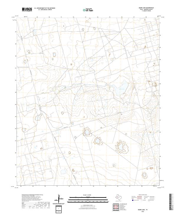
2022 Baird Lake
Andrews County, TX
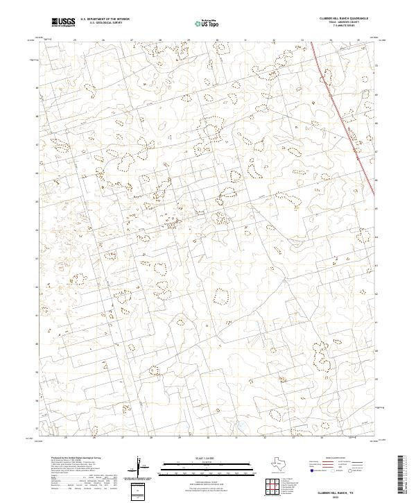
2022 Clabber Hill Ranch
Andrews County, TX
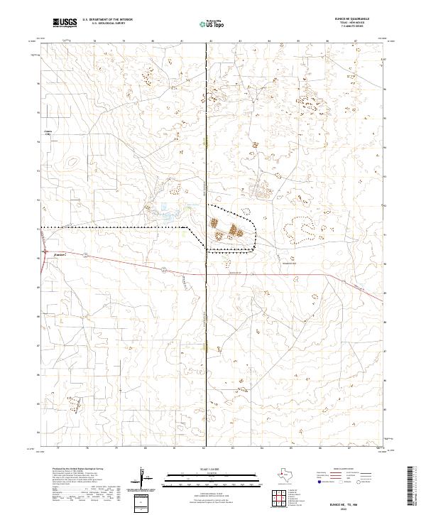
2022 Eunice NE
Andrews County, TX
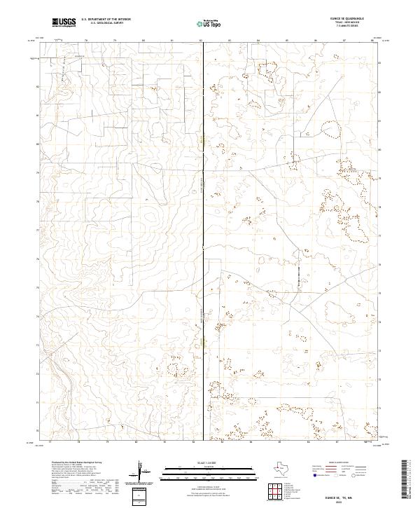
2022 Eunice SE
Andrews County, TX
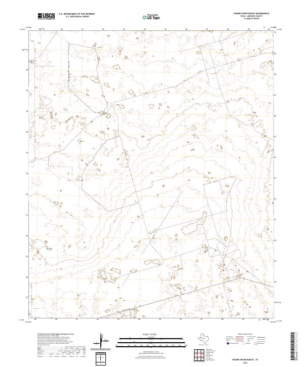
2022 Figure Seven Ranch
Andrews County, TX
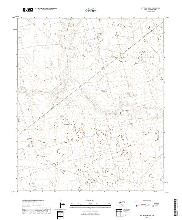
2022 Five Wells Ranch
Andrews County, TX
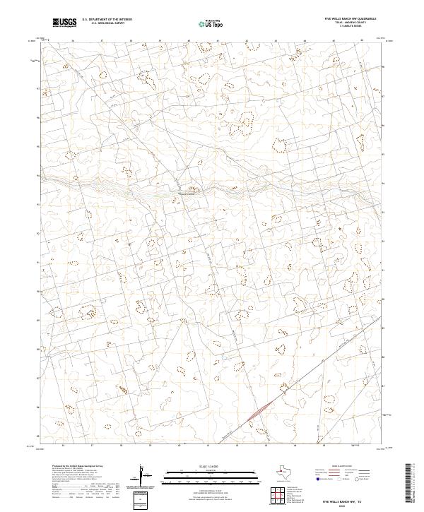
2022 Five Wells Ranch NW
Andrews County, TX
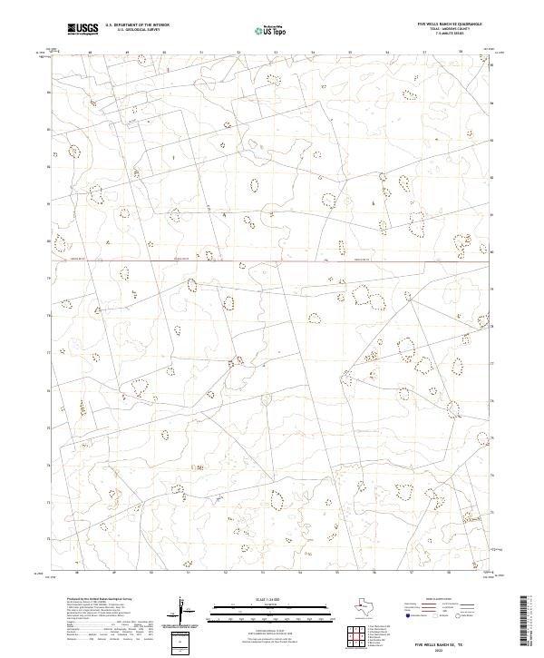
2022 Five Wells Ranch SE
Andrews County, TX
2022 Five Wells Ranch SW
Andrews County, TX
2022 Florey
Andrews County, TX
2022 Frankel City
Andrews County, TX
2022 Frankel City SW
Andrews County, TX
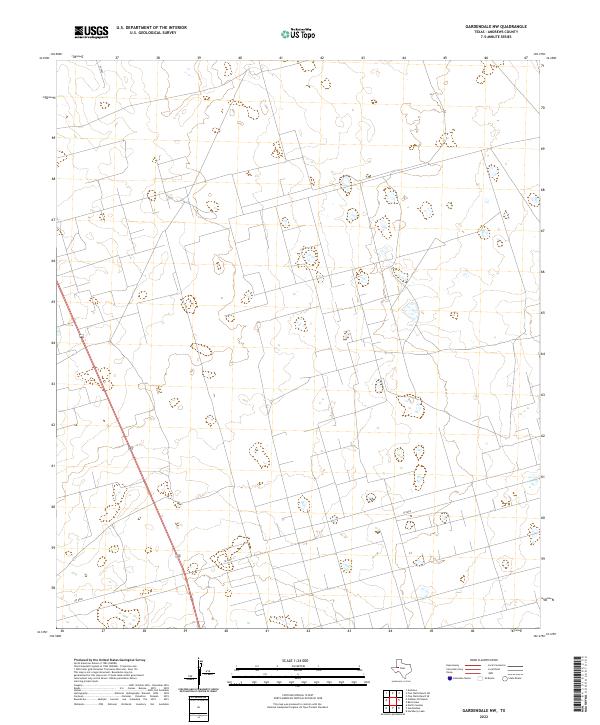
2022 Gardendale NW
Andrews County, TX
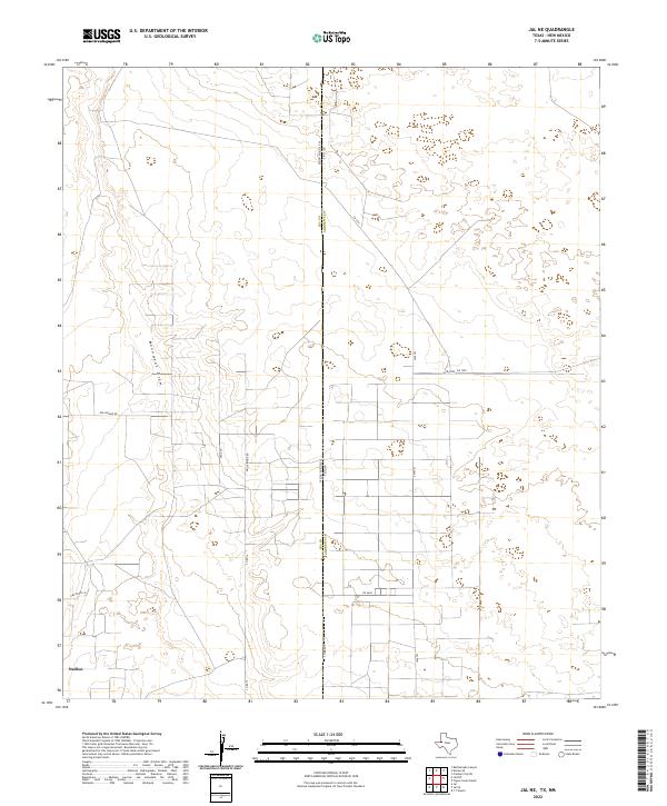
2022 Jal NE
Andrews County, TX
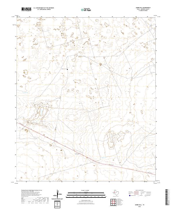
2022 Jumbo Hill
Andrews County, TX
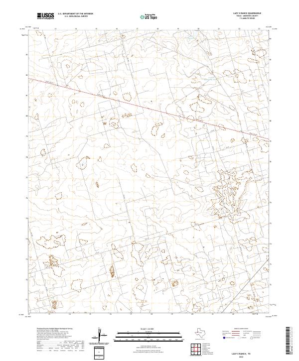
2022 Lazy X Ranch
Andrews County, TX

2022 North Cowden NW
Andrews County, TX
2022 Sand Ranch
Andrews County, TX
2022 Shafter Lake
Andrews County, TX
2022 Whalen Lake
Andrews County, TX