Old Maps of South Bend, Texas for Genealogy
Trace your family roots with 11 historic maps of South Bend. These high-res maps reveal old neighborhoods, homesites, landmarks, and streets — helping you uncover where your ancestors lived and how the area evolved over time.
- Explore historic neighborhoods: Identify where your relatives may have lived in the 1800s or 1900s.
- Compare maps over time: Trace the changes in streets, buildings, and landmarks for multi-generational research.
- Perfect for genealogy & ancestry research: Used by family historians and researchers to map out lineage and migration.
These maps are an incredible resource for exploring your personal connection to South Bend's past.
South Bend, TX maps
(11)- 1925 Map of Graham 4-c
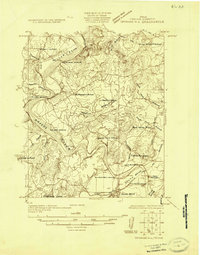 1925 Graham 4-c1925 Print · USGSYoung County in the 1920s shows a landscape of small rural communities and historic river fords before the expansion of modern highways. Local historians can trace early school sites like Como School and Upper Tonk School or follow the route of the Old Military Road.
 - 1927 Map of Graham
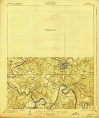 1927 Graham1927 Print · USGSYoung County's river-driven landscape comes alive in this mid-1920s survey of the Brazos River and its many bends. Genealogists can trace early rural life through Medlin Chapel, Gooseneck Cem, and several local schools like Mt Pleasant School.2 unique versions available
 - 1954 Map of Wichita Falls, 1966 Print
 1954 Wichita Falls1966 Print · USGSNorth Texas in the mid-fifties is captured here as a landscape of expanding oil fields and vital rail corridors. Genealogists and historians can trace family roots through rural landmarks like Bacon Chapel and the rail-side growth of Seymour and Archer City.3 unique versions available
 - 1958 Map of Wichita Falls
 1958 Wichita Falls1958 Print · USGSNorth Texas during the late fifties reveals a landscape defined by the booming petroleum industry and established rail hubs. Researchers can trace the development of Wichita Falls and discover rural landmarks like Barton's Chapel or the Hull-Silk Oil Field.
 - 1967 Map of South Bend, 1970 Print
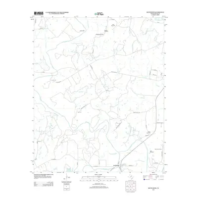
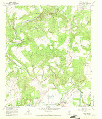 1967 South Bend1970 Print · USGSThe confluence of the Brazos and Clear Fork rivers defines this Young County landscape in the late sixties. Genealogists can trace family sites at Median Chapel, Brooks Cem, and Ratliff, all set against the backdrop of the Belknap Mountains.2 unique versions available
 - 1985 Map of Graham
 1985 Graham1985 Print · USGSNorth Texas in the mid-eighties shows a landscape of growing reservoirs and historic cattle country. Genealogists and historians can trace the foundations of Young County through the Belknap Mountains, Barton Chapel, and the grounds of Fort Richardson State Park.2 unique versions available
 - 2010 Map of South Bend, 2010 Print
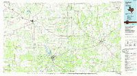
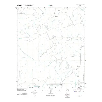 2010 South Bend2010 Print · USGSCovers South Bend, including Young County, United States, and other nearby areas
 - 2013 Map of South Bend, 2013 Print
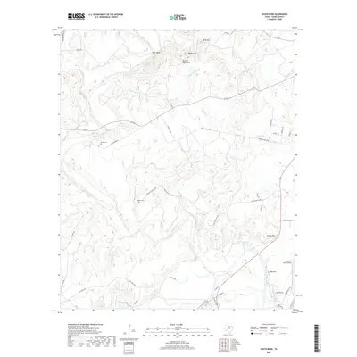
 2013 South Bend2013 Print · USGSCovers South Bend, including Young County, United States, and other nearby areas
 - 2016 Map of South Bend, 2016 Print
 2016 South Bend2016 Print · USGSCovers South Bend, including Young County, United States, and other nearby areas
 - 2019 Map of South Bend, 2019 Print
 2019 South Bend2019 Print · USGSCovers South Bend, including Young County, United States, and other nearby areas
 - 2022 Map of South Bend, 2022 Print
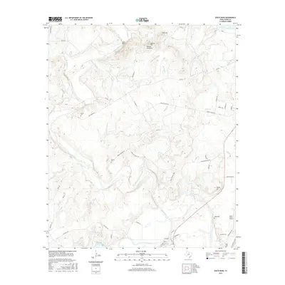
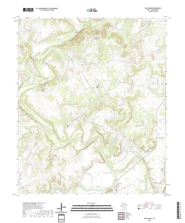 2022 South Bend2022 Print · USGSThe Brazos River and its Clear Fork converge here in Young County, shaping a rural landscape of ranch lands and river bends. Genealogists can trace family heritage through Median Cem, Brooks Cem, and the Tonk Valley Cem.
End of results
Showing maps 1-11 of 11
Top cities near South Bend
Frequently asked questions
- What are the different types of historical maps available for South Bend?
- What is the oldest map of South Bend?
- Where can I purchase historical maps of South Bend for my home or office?
- Where can I download high-res historical maps of South Bend?
- Are there historical topographic maps available for South Bend?
- Is there historical aerial imagery available for South Bend?
- Where are historical maps of South Bend sourced from?