Old Maps of Falcon, Texas for Genealogy
Trace your family roots with 13 historic maps of Falcon. These high-res maps reveal old neighborhoods, homesites, landmarks, and streets — helping you uncover where your ancestors lived and how the area evolved over time.
- Explore historic neighborhoods: Identify where your relatives may have lived in the 1800s or 1900s.
- Compare maps over time: Trace the changes in streets, buildings, and landmarks for multi-generational research.
- Perfect for genealogy & ancestry research: Used by family historians and researchers to map out lineage and migration.
These maps are an incredible resource for exploring your personal connection to Falcon's past.
Falcon, TX maps
(13)- 1938 Map of Falcon, 1956 Print
 1938 Falcon1956 Print · USGSThe Rio Grande valley of South Texas appears here in the decades before the creation of Falcon Lake, revealing a landscape of historic river crossings and family ranches. Genealogists can trace ancestral sites like Falcon (Ramireño), Salineño, and Lopeño, or locate river landmarks such as Las Piedras Island.
 - 1949 Map of Mc Allen, 1954 Print
 1949 Mc Allen1954 Print · USGSThe Rio Grande Valley at mid-century reveals a bustling international corridor of citrus groves, rail lines, and growing border towns. Genealogists and historians can trace the Missouri Pacific RR through McAllen or locate rural landmarks like the Santa Fe School and Arkansas City.
 - 1954 Map of McAllen
 1954 McAllen1954 Print · USGSThe Lower Rio Grande Valley in the mid-fifties is captured here as a burgeoning hub of agriculture, oil, and international trade. Researchers can trace the extensive rail lines of the St Louis Brownsville and Mexico or locate rural landmarks like Tacubaya School and Clay Dusting Service.
 - 1957 Map of Mc Allen, 1962 Print
 1957 Mc Allen1962 Print · USGSThe South Texas borderlands emerge in the late fifties as a hub of energy production and military activity. Researchers can trace the river economy through Rio Grande City, find the Brewster School, and locate the Moore Air Force Base.2 unique versions available
 - 1962 Map of McAllen
 1962 McAllen1962 Print · USGSThe Lower Rio Grande Valley in the mid-twentieth century shows a complex landscape of irrigation, oil production, and border commerce. Genealogists and historians can trace family roots through riverside towns like Zapata, Roma-Los Saenz, and Hidalgo, or locate landmarks like Santa Elena Ch and Moore Air Force Base.
 - 1965 Map of Lopeno, 1968 Print
 1965 Lopeno1968 Print · USGSSouth Texas brush country and the rising waters of the Rio Grande meet in the mid-sixties as energy production reshapes the borderlands. Genealogists and historians can trace the grid of the Lopeño Gas Field and old settlements like Lopeño and Falcon.
 - 1983 Map of Mc Allen, 1984 Print
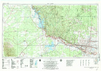 1983 Mc Allen1984 Print · USGSThe Lower Rio Grande Valley is captured here during the early 1980s, showcasing the intense cross-border connectivity and agricultural expansion of the era. Researchers can trace the sprawling irrigation networks around Mc Allen and Mission, or locate landmarks like the Zapata Aircraft Control and Warning Station and Falcon State Park.
 - 1985 Map of Zapata
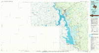 1985 Zapata1985 Print · USGSThe Rio Grande borderlands in the mid-eighties show a landscape transformed by the waters of the Falcon Reservoir. Genealogists and historians can trace the growth of Zapata and locate border communities like Lopeño, Salineño, and Falcon Village.2 unique versions available
 - 2010 Map of Lopeno, 2010 Print
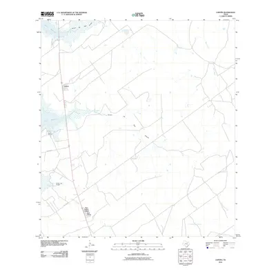 2010 Lopeno2010 Print · USGSZapata County's shoreline and borderlands come into focus in this late-2000s survey of the Falcon Reservoir region. Genealogists and local historians can trace the developments at New Falcon and the Lopeno Gas Field or follow the winding courses of Arroyo Tinajas and Mexia Creek.
 - 2012 Map of Lopeno, 2012 Print
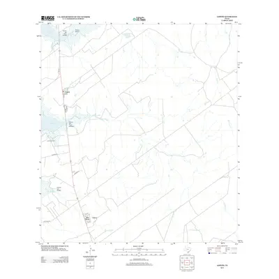 2012 Lopeno2012 Print · USGSZapata County, Texas, near the Mexican border, is shown here during a period of modern energy development and reservoir management. Researchers can trace the residential layouts of Lopeño, New Falcon, and Falcon alongside the extensive Lopeño Gas Field.
 - 2016 Map of Lopeno, 2016 Print
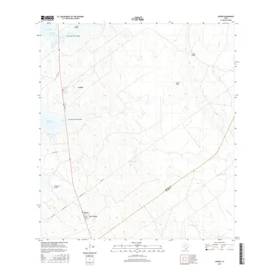 2016 Lopeno2016 Print · USGSZapata and Starr County ranchlands meet the eastern shores of the Rio Grande in the mid-2010s. Researchers can trace local settlement at Lopeño and New Falcon alongside the deep inlets of Beckwith Arm and Arroyo del Tigre Grande.
 - 2019 Map of Lopeno, 2019 Print
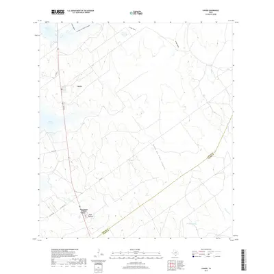 2019 Lopeno2019 Print · USGSThis South Texas borderlands region near the end of the 2010s shows a landscape shaped by the Falcon Reservoir and rural ranching routes. Researchers can trace the layout of residential areas like Lopeño and New Falcon alongside the rugged paths of Arroyo del Tigre Grande.
 - 2022 Map of Lopeno, 2022 Print
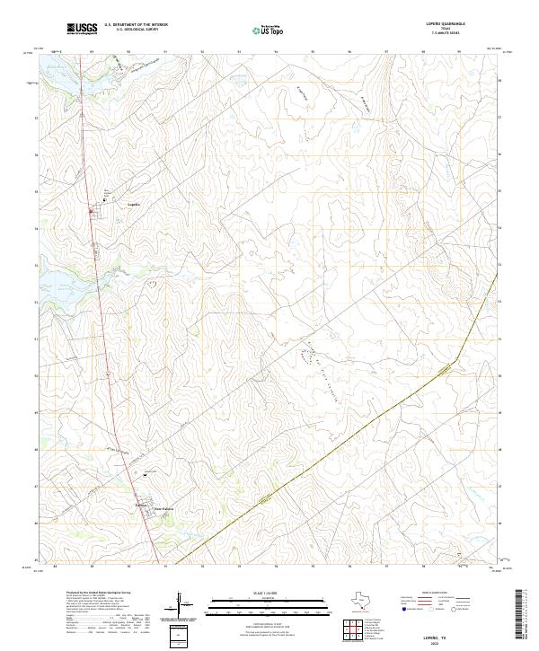 2022 Lopeno2022 Print · USGSZapata County ranching and reservoir life are captured here in the early 2020s, showing the modern layout of borderland settlements. Genealogists can locate New Lopeño Cem and Falcon Cem, while tracking water features like Beckwith Arm and Mexia Cr.
End of results
Showing maps 1-13 of 13
Top cities near Falcon
Frequently asked questions
- What are the different types of historical maps available for Falcon?
- What is the oldest map of Falcon?
- Where can I purchase historical maps of Falcon for my home or office?
- Where can I download high-res historical maps of Falcon?
- Are there historical topographic maps available for Falcon?
- Is there historical aerial imagery available for Falcon?
- Where are historical maps of Falcon sourced from?