Old Maps of San Ygnacio, Texas for Metal Detecting
Plan your next treasure hunt with 9 historic maps of San Ygnacio. Find old homesites, ghost towns, trails, and gathering spots that may be lost to time — perfect for identifying promising metal detecting locations.
- Locate forgotten sites: Uncover places like long-lost settlements, abandoned rail lines, or gathering spots.
- Plan better hunts: Use map overlays combined with LiDAR or satellite views to narrow in on historically rich areas.
- Made for detectorists: Thousands of hobbyists use these maps to discover relics, coins, and hidden history.
Use these historic maps to boost your research and find new opportunities beneath the surface of San Ygnacio.
San Ygnacio, TX maps
(9)- 1942 Map of San Ygnacio, 1956 Print
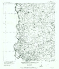 1942 San Ygnacio1956 Print · USGSZapata County ranchlands along the Mexican border appear here just as the region’s traditional ways were being documented by military surveyors. You can trace early family holdings and river life at San Ygnacio, the Ferry crossing, and the historic Dolores Ruins.
 - 1956 Map of Laredo, 1960 Print
 1956 Laredo1960 Print · USGSSouth Texas in the mid-fifties reveals a landscape shaped by border commerce, military aviation, and a booming oil industry. Trace the historic Texas and Mexican RR line through Hebbronville or locate the sprawling Mirando City Oil Field and Laredo AFB.3 unique versions available
 - 1979 Map of San Ygnacio, 1980 Print
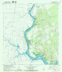 1979 San Ygnacio1980 Print · USGSThe Texas-Mexico borderlands along the Rio Grande are captured here in the late seventies as the waters of Falcon Reservoir reshape the valley. Genealogists and historians can trace family locations from San Ygnacio to Rancho Grande and the site of Santa Cruz.2 unique versions available
 - 1985 Map of San Ygnacio
 1985 San Ygnacio1985 Print · USGSThe Rio Grande borderlands and South Texas ranch country are captured here in the mid-eighties as the energy industry expanded inland. Researchers can trace historic river settlements like San Ygnacio or the industrial footprints of Mirando City and the Jennings West Oil and Gas Field.3 unique versions available
 - 2010 Map of San Ygnacio, 2010 Print
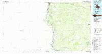
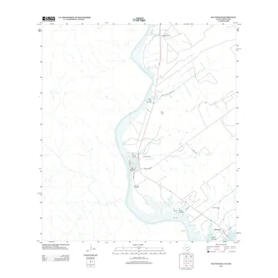
 2010 San Ygnacio2010 Print · USGSCovers San Ygnacio, including San Ignacio, San Ignacio Viejo Unit 2 Colonia, and other nearby areas
 - 2013 Map of San Ygnacio, 2013 Print
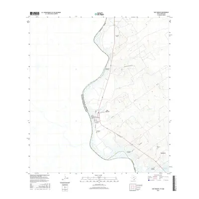
 2013 San Ygnacio2013 Print · USGSCovers San Ygnacio, including San Ignacio, San Ignacio Viejo Unit 2 Colonia, and other nearby areas
 - 2016 Map of San Ygnacio, 2016 Print
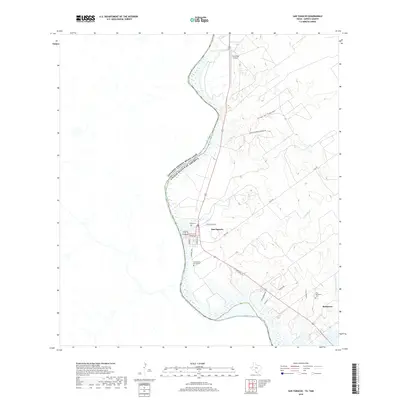
 2016 San Ygnacio2016 Print · USGSCovers San Ygnacio, including San Ignacio, San Ignacio Viejo Unit 2 Colonia, and other nearby areas
 - 2019 Map of San Ygnacio, 2019 Print
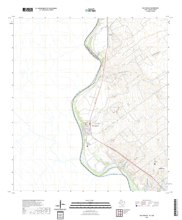
 2019 San Ygnacio2019 Print · USGSCovers San Ygnacio, including San Ignacio, San Ignacio Viejo Unit 2 Colonia, and other nearby areas
 - 2022 Map of San Ygnacio, 2022 Print
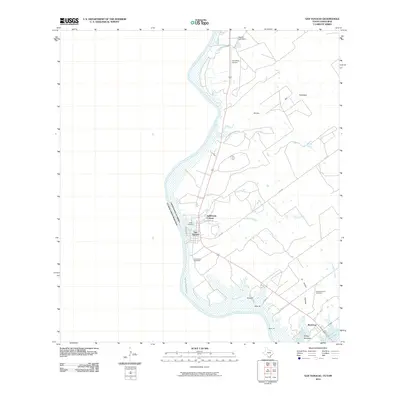
 2022 San Ygnacio2022 Print · USGSThe Rio Grande borderlands in Zapata County come into focus here, showing the enduring riverfront settlements of the early twenty-first century. Genealogists can trace family landmarks like the Uribe Cem, Ramireno, and the Manuel Benavides Garcia Cem.
End of results
Showing maps 1-9 of 9
Top cities near San Ygnacio
Frequently asked questions
- What are the different types of historical maps available for San Ygnacio?
- What is the oldest map of San Ygnacio?
- Where can I purchase historical maps of San Ygnacio for my home or office?
- Where can I download high-res historical maps of San Ygnacio?
- Are there historical topographic maps available for San Ygnacio?
- Is there historical aerial imagery available for San Ygnacio?
- Where are historical maps of San Ygnacio sourced from?