Old Maps of Bexar County, Texas
Explore 76 old maps of Bexar County, spanning from 1927 to today. These high-resolution historic maps reveal how streets, neighborhoods, landmarks, and natural features evolved over time — perfect for genealogy, metal detecting, research, and local history exploration.
What you can do with these maps:
- See how Bexar County changed over time: Compare historical maps to modern-day views to trace roads, homesites, rail lines & more.
- View detailed metadata: Each map includes creators, publishers, year, scale, and archive source.
- Overlay maps with satellite & LiDAR: Visualize the past alongside modern tools to explore terrain & human change.
- Trusted historical sources: Maps sourced from the USGS, Library of Congress, and other archives.
- Access maps your way: View online, download high-res files, or order prints for personal or research use.
Start exploring old maps of Bexar County to uncover forgotten places, hidden landmarks, and the deep history beneath your feet.
Bexar County, TX maps
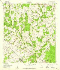
(76)- 1927 Map of New Braunfels
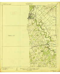 1927 New Braunfels1927 Print · USGSCovers Bexar County, including New Braunfels, Schertz, and other nearby areas3 unique versions available
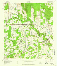
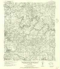
 - 1942 Map of Natalia, 1956 Print
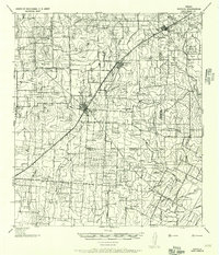 1942 Natalia1956 Print · USGSCovers Bexar County, including Devine, Lytle, and other nearby areas
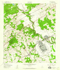
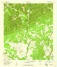
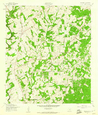
 - 1953 Map of Otis Ridge, 1959 Print
 1953 Otis Ridge1959 Print · USGSCovers Bexar County, including San Antonio, Fair Oaks Ranch, and other nearby areas
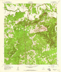
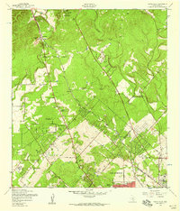
 - 1953 Map of Culebra Hill, 1959 Print
 1953 Culebra Hill1959 Print · USGSCovers Bexar County, including San Antonio, Leon Valley, and other nearby areas
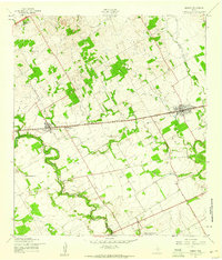
 - 1953 Map of Schertz, 1959 Print
 1953 Schertz1959 Print · USGSCovers Bexar County, including San Antonio, Schertz, and other nearby areas
 - 1953 Map of San Antonio West, 1959 Print
 1953 San Antonio West1959 Print · USGSCovers Bexar County, including San Antonio, Leon Valley, and other nearby areas
 - 1953 Map of Bulverde, 1959 Print
 1953 Bulverde1959 Print · USGSCovers Bexar County, including San Antonio, Bulverde, and other nearby areas
 - 1953 Map of San Antonio East, 1959 Print
 1953 San Antonio East1959 Print · USGSCovers Bexar County, including San Antonio, Kirby, and other nearby areas
 - 1953 Map of Bat Cave, 1959 Print
 1953 Bat Cave1959 Print · USGSCovers Bexar County, including San Antonio, Schertz, and other nearby areas
 - 1953 Map of Terrell Wells, 1959 Print
 1953 Terrell Wells1959 Print · USGSCovers Bexar County, including San Antonio, United States, and other nearby areas
 - 1953 Map of Longhorn, 1959 Print
 1953 Longhorn1959 Print · USGSCovers Bexar County, including San Antonio, Windcrest, and other nearby areas
 - 1953 Map of Elmendorf, 1959 Print
 1953 Elmendorf1959 Print · USGSCovers Bexar County, including San Antonio, Elmendorf, and other nearby areas
 - 1953 Map of Macdona, 1959 Print
 1953 Macdona1959 Print · USGSCovers Bexar County, including San Antonio, Von Ormy, and other nearby areas
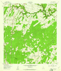
 - 1953 Map of Southton, 1959 Print
 1953 Southton1959 Print · USGSCovers Bexar County, including San Antonio, Buena Vista, and other nearby areas
 - 1953 Map of Helotes, 1959 Print
 1953 Helotes1959 Print · USGSCovers Bexar County, including San Antonio, Leon Valley, and other nearby areas
 - 1953 Map of Castle Hills, 1959 Print
 1953 Castle Hills1959 Print · USGSCovers Bexar County, including San Antonio, Leon Valley, and other nearby areas
 - 1953 Map of Martinez, 1959 Print
 1953 Martinez1959 Print · USGSCovers Bexar County, including San Antonio, Schertz, and other nearby areas
 - 1953 Map of Van Raub, 1959 Print
 1953 Van Raub1959 Print · USGSCovers Bexar County, including San Antonio, Boerne, and other nearby areas
 - 1954 Map of San Antonio, 1964 Print
 1954 San Antonio1964 Print · USGSCovers Bexar County, including San Antonio, New Braunfels, and other nearby areas3 unique versions available
 - 1956 Map of Medina Lake
 1956 Medina Lake1956 Print · USGSCovers Bexar County, including San Antonio, Boerne, and other nearby areas
 - 1957 Map of Boerne
 1957 Boerne1957 Print · USGSCovers Bexar County, including Boerne, Fair Oaks Ranch, and other nearby areas
 - 1957 Map of San Antonio
 1957 San Antonio1957 Print · USGSCovers Bexar County, including San Antonio, New Braunfels, and other nearby areas
 - 1957 Map of New Berlin, 1961 Print
 1957 New Berlin1961 Print · USGSCovers Bexar County, including New Berlin, Sweet Home, and other nearby areas2 unique versions available
 - 1958 Map of Marion, 1961 Print
 1958 Marion1961 Print · USGSCovers Bexar County, including Schertz, Cibolo, and other nearby areas2 unique versions available
 - 1958 Map of Losoya, 1961 Print
 1958 Losoya1961 Print · USGSCovers Bexar County, including San Antonio, Losoya, and other nearby areas3 unique versions available
Showing maps 1-25 of 76
Top cities of Bexar County
- San Antonio historical maps
- Universal City historical maps
- Converse historical maps
- Live Oak historical maps
- Leon Valley historical maps
- Lone Oak historical maps
See more
Frequently asked questions
- What are the different types of historical maps available for Bexar County?
- What is the oldest map of Bexar County?
- Where can I purchase historical maps of Bexar County for my home or office?
- Where can I download high-res historical maps of Bexar County?
- Are there historical topographic maps available for Bexar County?
- Is there historical aerial imagery available for Bexar County?
- Where are historical maps of Bexar County sourced from?