Old Maps of Hardup, Utah for Metal Detecting
Plan your next treasure hunt with 12 historic maps of Hardup. Find old homesites, ghost towns, trails, and gathering spots that may be lost to time — perfect for identifying promising metal detecting locations.
- Locate forgotten sites: Uncover places like long-lost settlements, abandoned rail lines, or gathering spots.
- Plan better hunts: Use map overlays combined with LiDAR or satellite views to narrow in on historically rich areas.
- Made for detectorists: Thousands of hobbyists use these maps to discover relics, coins, and hidden history.
Use these historic maps to boost your research and find new opportunities beneath the surface of Hardup.
Hardup, UT maps
(12)- 1954 Map of Brigham City, 1968 Print
 1954 Brigham City1968 Print · USGSNorthern Utah and the edges of the Great Salt Lake are captured here during the mid-fifties, showing the region's transition from pioneer rail hubs to modern military ranges. Researchers can find old sidings like Lemay Siding, the Golden Spike Monument, and settlements like Washakie.4 unique versions available
 - 1958 Map of Brigham City
 1958 Brigham City1958 Print · USGSNorthern Utah in the late fifties shows a landscape of extremes, from the salt flats to the bustling Bear River Valley. Trace historical routes like the Old Immigrant Trail and locate local landmarks such as the Brigham Sugar Mill and Booth Valley School.
 - 1959 Map of Kelton Pass, 1960 Print
 1959 Kelton Pass1960 Print · USGSThe high desert of Box Elder County is captured here in the late fifties, showcasing a network of family ranches and historical travel routes. Genealogists can locate named homesteads like the Vern Steeds Ranch or trace the Cedar Creek (Old Stage Station) at Kelton Pass.
 - 1962 Map of Brigham City
 1962 Brigham City1962 Print · USGSNorthern Utah in the early sixties reveals a landscape of vast salt flats and growing towns along the Wasatch Front. Researchers can trace the Southern Pacific line past the Golden Spike Monument or locate landmarks like Indian Cave and Donner-Reed Pass.
 - 1987 Map of Grouse Creek
 1987 Grouse Creek1987 Print · USGSHigh desert ranching and transcontinental rail lines define this late-eighties portrait of the Utah-Idaho borderlands. Researchers can trace the Southern Pacific Railroad through Lucin or locate mountain settlements like Yost and Park Valley.2 unique versions available
 - 1990 Map of Kelton Pass
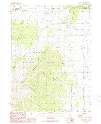 1990 Kelton Pass1990 Print · USGSThe high desert borderlands of Box Elder County are captured here in the early nineties, tracing the historic Emigrant Trail through Kelton Pass. Genealogists and researchers can locate the Hardup (Site) and Duffy among essential water sources like Emigrant Spring.
 - 2001 Map of Kelton Pass, 2006 Print
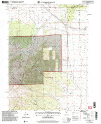 2001 Kelton Pass2006 Print · USGSThe borderlands of Utah and Idaho are captured here at the turn of the millennium, showing where the historic Salt Lake Cut-Off meets the Sawtooth National Forest. You can trace the California National Historic Trail past the Hardup site and through Kelton Pass.
 - 2011 Map of Kelton Pass, 2011 Print
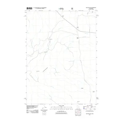 2011 Kelton Pass2011 Print · USGSThe borderlands of Utah and Idaho are captured here in the early twenty-first century, showing a landscape defined by ranching and high-mountain passes. Researchers can trace rural holdings like Hardup and Verri Steeds Ranch alongside vital water stops such as Emigrant Spring.
 - 2014 Map of Kelton Pass, 2014 Print
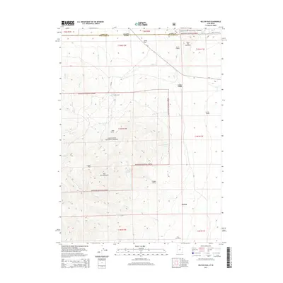 2014 Kelton Pass2014 Print · USGSHigh-desert ranching and mountain terrain define the Idaho-Utah border in the early 2010s. Researchers can trace remote homesteads and vital water sources like Hardup, Lambert Ranch, and Emigrant Spring.
 - 2017 Map of Kelton Pass, 2017 Print
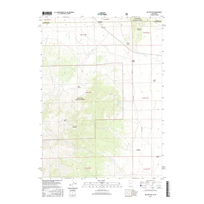 2017 Kelton Pass2017 Print · USGSThe high desert border between Utah and Idaho comes into focus in this recent survey of the Raft River region. Researchers can trace the path of Cedar Creek Rd through the Curlew Valley and locate water sources like Emigrant Spring and Hardup.
 - 2020 Map of Kelton Pass, 2020 Print
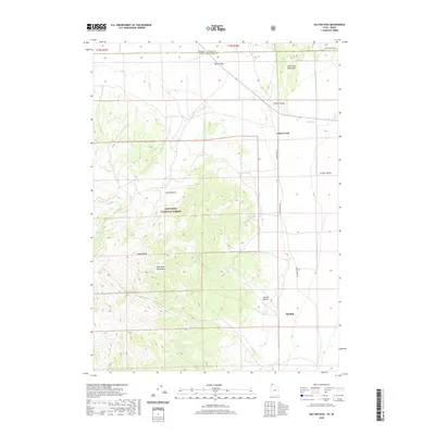 2020 Kelton Pass2020 Print · USGSThe Utah-Idaho borderlands come into focus in this recent survey of Box Elder and Cassia counties. Researchers can trace the high-country landscape of the Sawtooth National Forest, locating remote landmarks like Emigrant Spring and the settlement of Hardup.
 - 2023 Map of Kelton Pass, 2023 Print
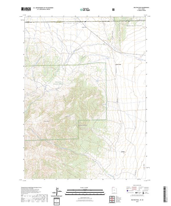 2023 Kelton Pass2023 Print · USGSCrossing the Idaho-Utah border in the 2020s, this landscape captures the high desert transit between the Raft River Valley and Curlew Valley. Researchers can trace old water sources like Emigrant Spring and the settlement at Hardup.
End of results
Showing maps 1-12 of 12
Frequently asked questions
- What are the different types of historical maps available for Hardup?
- What is the oldest map of Hardup?
- Where can I purchase historical maps of Hardup for my home or office?
- Where can I download high-res historical maps of Hardup?
- Are there historical topographic maps available for Hardup?
- Is there historical aerial imagery available for Hardup?
- Where are historical maps of Hardup sourced from?