Old Maps of Cornish, Utah for Hiking & Exploration
Hike through history with 12 historic maps of Cornish. Explore old trails, ghost towns, and forgotten backroads — perfect for outdoor adventurers and local explorers.
- Rediscover forgotten places: Map out old mining camps, roads, and footpaths that no longer exist on modern maps.
- Layer with modern tools: Combine with LiDAR or satellite views to plan hikes through historical terrain.
- Made for exploration: Popular among hikers, overlanders, and local history lovers.
Use these maps to find adventure and explore the hidden past of Cornish.
Cornish, UT maps
(12)- 1914 Map of Logan, 1957 Print
 1914 Logan1957 Print · USGSCache Valley thrives in the early nineteen-hundreds as a hub of rail travel and sugar beet processing. Genealogists can locate family homesteads near Stephenson School, trace the Oregon Short Line, or find remote operations like the Amazon Mine.
 - 1916 Map of Logan
 1916 Logan1916 Print · USGSCache Valley and the northern Wasatch Range come alive in this mid-1910s survey, showing the peak of the local rail-and-sugar economy. Genealogists can locate family holdings like Hardware Ranch, early rural sites like Stephenson School, and the industrial Sugar Factory.4 unique versions available
 - 1954 Map of Ogden, 1967 Print
 1954 Ogden1967 Print · USGSThe northern Utah corridor and Wyoming borderlands are captured here in the mid-1950s, showing the region's transition from mountain wilderness to settled valleys. Researchers can trace historic institutions like Utah State University or locate vanished points like Church Butte Station and the Trappist Monastery.3 unique versions available
 - 1958 Map of Ogden
 1958 Ogden1958 Print · USGSNorthern Utah and southwestern Wyoming are captured here during a period of steady growth and military expansion. You can trace the Union Pacific rail lines and early road networks connecting Ogden and Logan to Bear Lake and Evanston.
 - 1960 Map of Ogden
 1960 Ogden1960 Print · USGSIn the mid-1950s, this region of the American West balanced military expansion with frontier history along the Union Pacific RR. Genealogists and historians can trace old settlements like Fort Bridger, the residential growth of Washington Terrace, and industrial sites from the Hill AFB complex to the coal mines of Kemmerer.
 - 1964 Map of Trenton, 1966 Print
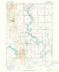 1964 Trenton1966 Print · USGSThe Cache Valley at the height of the mid-century shows a landscape of river-fed agriculture and rail-side settlements along the Utah-Idaho border. Local researchers can trace the historic Union Pacific tracks through Trenton or locate the Cornish Cem and Newton Reservoir.2 unique versions available
 - 1984 Map of Logan, 1985 Print
 1984 Logan1985 Print · USGSNorthern Utah and its borderlands with Idaho and Wyoming are shown here in the mid-1980s as the Cache Valley communities grew. Researchers can trace the Union Pacific rail lines and find legacy sites like College Ward, Pickleville, and Utah State University.3 unique versions available
 - 2011 Map of Trenton, 2011 Print
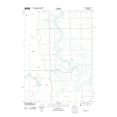 2011 Trenton2011 Print · USGSThe northern Utah borderlands appear here in the early twenty-first century, defined by the winding Bear River and its vital irrigation canals. Genealogists and local researchers can locate the Trenton Cemetery, Cornish Cemetery, and the small settlement of Morton.
 - 2014 Map of Trenton, 2014 Print
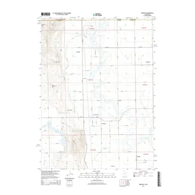 2014 Trenton2014 Print · USGSThe Cache Valley at the Utah-Idaho border is shown here during a period of established irrigation and rural agriculture. Genealogists and local historians can trace the family-named hollows and sites like Cornish Cem, Trenton, and the waters of Newton Reservoir.
 - 2017 Map of Trenton, 2017 Print
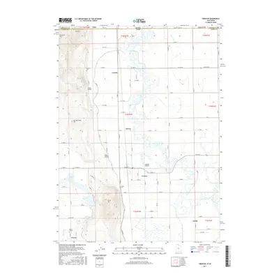 2017 Trenton2017 Print · USGSThe Cache Valley at the Idaho-Utah border shows a landscape defined by water and work in this contemporary survey. Genealogists and local historians can trace family plots at Newton Cemetery or locate the rural hubs of Trenton and Cornish along the Bear River.
 - 2020 Map of Trenton, 2020 Print
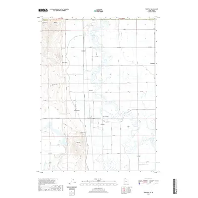 2020 Trenton2020 Print · USGSCache Valley agriculture and river geography are captured here in this recent survey of the Utah-Idaho borderlands. Researchers can trace family roots through the Trenton Cem and Newton Cemetery or locate the rural hubs of Amalga and Cornish.
 - 2023 Map of Trenton, 2023 Print
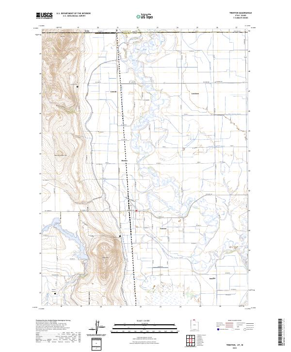 2023 Trenton2023 Print · USGSThe Cache Valley at the Idaho-Utah border shows a landscape defined by water and farm grids. Genealogists can locate family sites near Cornish Cem, trace the winding Bear River, or explore the small hubs of Trenton and Amalga.
End of results
Showing maps 1-12 of 12
Top cities near Cornish
- Logan historical maps
- North Logan historical maps
- Smithfield historical maps
- Preston historical maps
- Hyde Park historical maps
- Garland historical maps
See more
Frequently asked questions
- What are the different types of historical maps available for Cornish?
- What is the oldest map of Cornish?
- Where can I purchase historical maps of Cornish for my home or office?
- Where can I download high-res historical maps of Cornish?
- Are there historical topographic maps available for Cornish?
- Is there historical aerial imagery available for Cornish?
- Where are historical maps of Cornish sourced from?