
Loading...
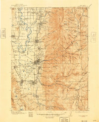
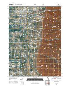
Loading map...1914 Map of Logan
USGS Topo · Published 1957About this map
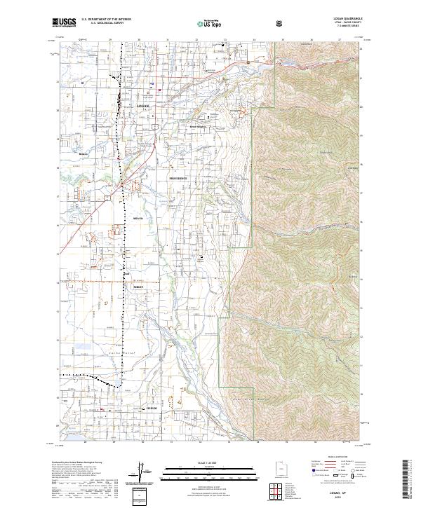
Logan serves as the bustling heart of the Cache Valley in this early 20th-century survey, revealing a landscape defined by industrial development and irrigation. The presence of the Sugar Factory near College Spur highlights the agricultural economy of the era, while the Oregon Short Line and the Ogden Logan and Idaho Ry provide the critical transportation links connecting settlements like Smithfield and Richmond to the wider region.
Find a feature on this map
177 named features on this map. Tap any name to fly to it.
Don’t see what you’re looking for? This feature index may not catch every label — zoom into the map to look around manually.
Map Details
Date Portrayed1914
Date Published1957
PublisherU.S. Geological Survey
Map TypeTopographic
Scale1:125,000
Physical Dimensions16.9 x 20.7 inches
Editions of this 1914 Logan Map
This is the sole edition of this map. No revisions or reprints were ever made.
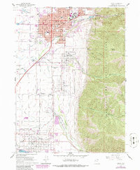
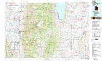
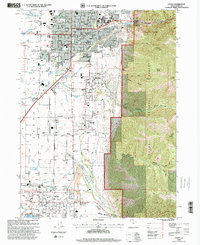
Historical Maps of Logan Through Time
10 maps found
Featured Locations
Source Details
SourceU.S. Geological Survey
CopyrightPublic Domain