
1916 Map of Logan
USGS Topo · Published 1916About this map
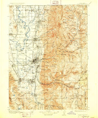
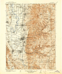
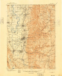
The Wasatch Range dominates the eastern half of this 1916 survey, where the Cache National Forest provides a backdrop for a complex network of canyons and high peaks like Naomi Pk and Mt Magog. In the fertile valley to the west, the Bear River and Cub River sustain a series of established agricultural communities connected by the Oregon Short Line and the Ogden Logan and Idaho RR.
Find a feature on this map
80 named features on this map. Tap any name to fly to it.
Don’t see what you’re looking for? This feature index may not catch every label — zoom into the map to look around manually.
Map Details
Editions of this 1916 Logan Map
4 editions found
Other maps of this area

1909 · Montpelier
USGS Topo · 1:125,000

1911 · Montpelier
USGS Topo · 1:125,000

1912 · Randolph
USGS Topo · 1:125,000

1914 · Logan
USGS Topo · 1:125,000

1915 · Preston
USGS Topo · 1:96,000

1918 · Preston
USGS Topo · 1:125,000

1949 · Boulter Mts
USGS Topo · 1:24,000

1954 · Pocatello
USGS Topo · 1:250,000

1954 · Ogden
USGS Topo · 1:250,000

1954 · Brigham City
USGS Topo · 1:250,000