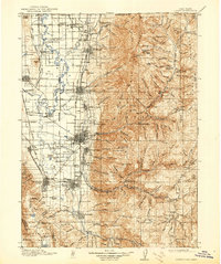
1916 Map of Logan
USGS Topo · Published 1939About this map
Agricultural and industrial development in Cache Valley is defined by the extensive irrigation network and rail infrastructure surrounding Logan. In the years following the turn of the century, the Oregon Short Line railroad anchored a string of settlements from Cornish and Lewiston in the north to Wellsville in the south. The local economy is visibly centered on the processing of sugar beets, evidenced by the Sugar Factory and its dedicated Sugar Spur, while the Valley Mill and numerous canals like the West Cache Canal underscore the importance of water management in this high-altitude basin.
Find a feature on this map
143 named features on this map. Tap any name to fly to it.
Don’t see what you’re looking for? This feature index may not catch every label — zoom into the map to look around manually.
Map Details
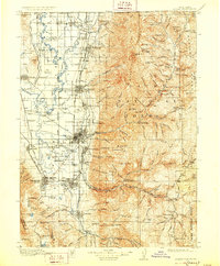
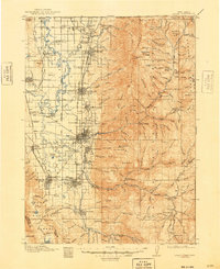
Editions of this 1916 Logan Map
4 editions found
Other maps of this area

1909 · Montpelier
USGS Topo · 1:125,000

1911 · Montpelier
USGS Topo · 1:125,000

1912 · Randolph
USGS Topo · 1:125,000

1914 · Logan
USGS Topo · 1:125,000

1915 · Preston
USGS Topo · 1:96,000

1916 · Logan
USGS Topo · 1:125,000

1918 · Preston
USGS Topo · 1:125,000

1949 · Boulter Mts
USGS Topo · 1:24,000

1954 · Pocatello
USGS Topo · 1:250,000

1954 · Ogden
USGS Topo · 1:250,000