Old Maps of Moon Lake Lodge, Utah for Hiking & Exploration
Hike through history with 14 historic maps of Moon Lake Lodge. Explore old trails, ghost towns, and forgotten backroads — perfect for outdoor adventurers and local explorers.
- Rediscover forgotten places: Map out old mining camps, roads, and footpaths that no longer exist on modern maps.
- Layer with modern tools: Combine with LiDAR or satellite views to plan hikes through historical terrain.
- Made for exploration: Popular among hikers, overlanders, and local history lovers.
Use these maps to find adventure and explore the hidden past of Moon Lake Lodge.
Moon Lake Lodge, UT maps
(14)- 1885 Map of Uinta
 1885 Uinta1885 Print · USGSThe high wilderness of northern Utah is documented during the early surveying era of the 1880s. Geologists and historians can trace the headwaters of the Duchesne River and locate landmarks like Gilbert Peak and Rhodes Plateau.6 unique versions available
 - 1901 Map of Hayden Peak
 1901 Hayden Peak1901 Print · USGSThe high Uintas at the turn of the century appear here as a pristine wilderness of alpine peaks and glacial lakes. Genealogists and researchers can trace the headwaters of the Bear River and Provo River or locate early landmarks like Holiday Park and Grandaddy Lake.2 unique versions available
 - 1903 Map of Hayden Peak
 1903 Hayden Peak1903 Print · USGSThe high Uintas at the beginning of the twentieth century reveal a landscape split between the Uinta Forest Reserve and the Uinta Indian Reservation. Researchers can trace the original Utah-Wyoming Boundary Line and the headwaters of the Bear River and Duchesne River.6 unique versions available
 - 1954 Map of Salt Lake City, 1964 Print
 1954 Salt Lake City1964 Print · USGSThe Wasatch Front and Uinta Mountains are captured here in the mid-fifties, showing the industrial heart of Utah and its high mountain wilderness. Researchers can locate vanished infrastructure and landmarks like the Geneva Steel Plant, Bingham Canyon Mine, and the Utah State Prison.4 unique versions available
 - 1958 Map of Salt Lake City
 1958 Salt Lake City1958 Print · USGSThe Wasatch Front and Uinta Basin are captured during a period of significant post-war growth and industrial development. Researchers can trace the mid-century rail lines of the Bamberger RR and locate sites like the Kiegley Limestone Quarry and Camp Williams Military Reservation.
 - 1960 Map of Salt Lake City
 1960 Salt Lake City1960 Print · USGSThe Wasatch Front and High Uintas are captured mid-century as the Salt Lake Valley underwent significant postwar expansion. Genealogists and historians can trace rail lines like the Union Pacific and locate established landmarks such as Fort Douglas, Camp Williams, and the Bingham Canyon Mine.
 - 1967 Map of Kidney Lake, 1968 Print
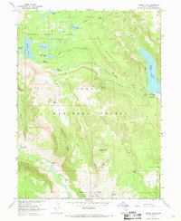 1967 Kidney Lake1968 Print · USGSHigh in the Uintas during the late sixties, this survey captures the intersection of forest lands and the Uintah and Ouray Indian Reservation. Researchers can trace old mountain routes like the Pack Trail to Robbins Ranch or the Paint Mine.
 - 1982 Map of Kings Peak, 1985 Print
 1982 Kings Peak1985 Print · USGSThe high Uinta wilderness is captured in the early eighties, showing the intersection of three national forests at the Wyoming-Utah border. Hikers and historians can trace the high trails near Kings Peak, Moon Lake, and Iron Mine Mountain.2 unique versions available
 - 1996 Map of Kidney Lake, 1999 Print
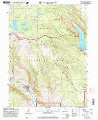 1996 Kidney Lake1999 Print · USGSThe High Uintas wilderness and the Ashley National Forest meet in this late-twentieth-century study of the Duchesne backcountry. Trace the alpine hydrology of Brown Duck Basin and find remote sites like the Paint Mine and Lake Fork Guard Station.
 - 2011 Map of Kidney Lake, 2011 Print
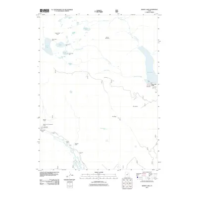 2011 Kidney Lake2011 Print · USGSMoon Lake and the high-country basins of Duchesne County are captured here in the early 2000s. Researchers can locate remote outposts like Robbins Ranch and the Paint Mine, or trace water infrastructure at Kidney Lake Dam.
 - 2014 Map of Kidney Lake, 2014 Print
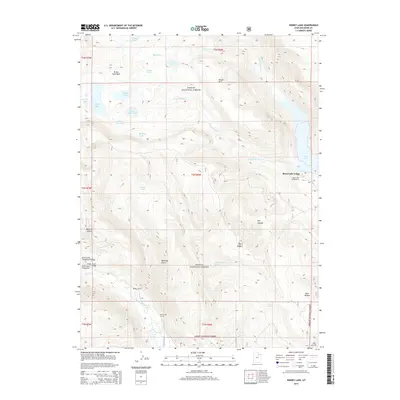 2014 Kidney Lake2014 Print · USGSThe Uinta Mountains of Duchesne County are captured here in the early twenty-first century, showing a landscape defined by high-elevation lakes and forest service outposts. Researchers can locate remote landmarks such as Moon Lake Lodge, Robbins Ranch, and Miners Gulch.
 - 2017 Map of Kidney Lake, 2017 Print
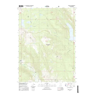 2017 Kidney Lake2017 Print · USGSThe High Uintas backcountry comes alive in this 2017 survey of the Duchesne County high country. Hikers and historians can trace the high-altitude routes through Tworoose Pass and identify remote water sources like Red Bedground Spring and Moon Lake.
 - 2020 Map of Kidney Lake, 2020 Print
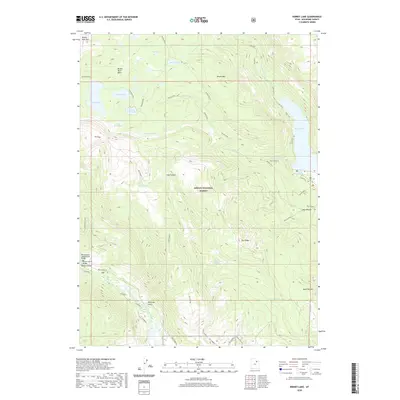 2020 Kidney Lake2020 Print · USGSThe high Uinta wilderness comes into focus in this recent survey, showcasing a landscape of glacial basins and alpine lakes. Researchers can trace remote routes like the Atwine Cutoff and locate specific landmarks such as the Miners Gulch Campground Bridge and Moon Lake.
 - 2023 Map of Kidney Lake, 2023 Print
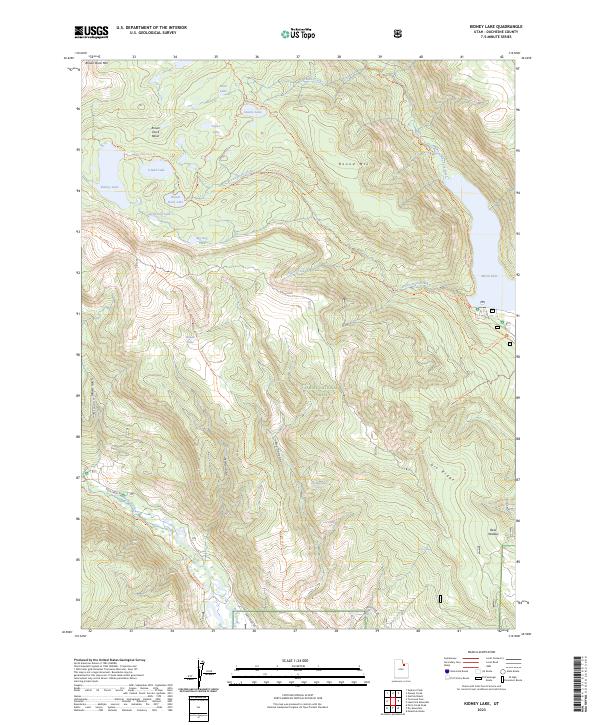 2023 Kidney Lake2023 Print · USGSThe High Uintas and Ashley National Forest are shown in high detail in the early 2020s, highlighting the area’s network of alpine lakes and trails. Hikers and researchers can trace paths through the Brown Duck Basin and locate landmarks like Kidney Lake and Moon Lake.
End of results
Showing maps 1-14 of 14
Top cities near Moon Lake Lodge
Frequently asked questions
- What are the different types of historical maps available for Moon Lake Lodge?
- What is the oldest map of Moon Lake Lodge?
- Where can I purchase historical maps of Moon Lake Lodge for my home or office?
- Where can I download high-res historical maps of Moon Lake Lodge?
- Are there historical topographic maps available for Moon Lake Lodge?
- Is there historical aerial imagery available for Moon Lake Lodge?
- Where are historical maps of Moon Lake Lodge sourced from?