Old Maps of Ferron, Utah
Explore 21 old maps of Ferron, spanning from 1885 to today. These high-resolution historic maps reveal how streets, neighborhoods, landmarks, and natural features evolved over time — perfect for genealogy, metal detecting, research, and local history exploration.
What you can do with these maps:
- See how Ferron changed over time: Compare historical maps to modern-day views to trace roads, homesites, rail lines & more.
- View detailed metadata: Each map includes creators, publishers, year, scale, and archive source.
- Overlay maps with satellite & LiDAR: Visualize the past alongside modern tools to explore terrain & human change.
- Trusted historical sources: Maps sourced from the USGS, Library of Congress, and other archives.
- Access maps your way: View online, download high-res files, or order prints for personal or research use.
Start exploring old maps of Ferron to uncover forgotten places, hidden landmarks, and the deep history beneath your feet.
Ferron, UT maps
(21)- 1885 Map of Manti
 1885 Manti1885 Print · USGSCentral Utah during the mid-1880s reveals a growing network of agricultural towns and vital rail lines through the high desert. Researchers can trace early family settlements along the San Pete River and locate historic depots like Pleasant Valley Junction or the early township of Nephi.4 unique versions available
 - 1895 Map of Manti, 1921 Print
 1895 Manti1921 Print · USGSSanpete County and the high plateaus of central Utah are captured in the late nineteenth century as irrigation and railroads transformed the valley floor. Genealogists and historians can trace the early layout of Manti, Ephraim, and Nephi, alongside smaller outposts like Fountain Green and Mayfield.
 - 1923 Map of Castle Dale, 1958 Print
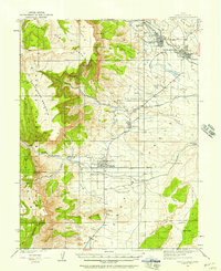 1923 Castle Dale1958 Print · USGSEmery County was a landscape of high-plateau ranching and early coal mining during the 1920s. Genealogists and researchers can trace family-named sites like the Ferron Mill, the Grillpack Mine, and Blackburns Ranch across the desert benches.3 unique versions available
 - 1925 Map of Castle Dale
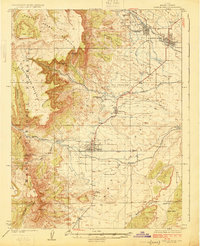 1925 Castle Dale1925 Print · USGSEmery County during the 1920s shows a landscape defined by pioneer irrigation and early coal exploration. Genealogists and local historians can locate family landmarks such as Blackburns Ranch, the Ferron Mill, and the Axel Anderson Mine.2 unique versions available
 - 1956 Map of Price, 1968 Print
 1956 Price1968 Print · USGSCentral Utah in the mid-fifties showcases a landscape shaped by coal mining and mountain-fed irrigation. Trace the rail-and-river economy through the Geneva Coal Mine, the Union Pacific line, and settlements like Price and Ephraim.3 unique versions available
 - 1960 Map of Price
 1960 Price1960 Print · USGSCentral Utah in the late fifties was a landscape of coal-hauling railroads and high plateau settlements. Genealogists and local historians can trace the rail-to-river economy from Price to the mountain mining camps of Hiawatha, Dragerton, and Sunnyside.2 unique versions available
 - 1962 Map of Price
 1962 Price1962 Print · USGSCentral Utah during the early sixties shows a landscape balancing high-mountain forestry with valley agriculture and coal mining. Genealogists and historians can trace the Denver and Rio Grande Western rail lines through industrial hubs like Price or locate formerly active sites like Coal City (abandoned).
 - 1979 Map of Ferron
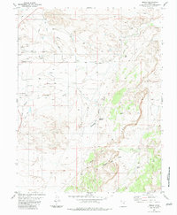
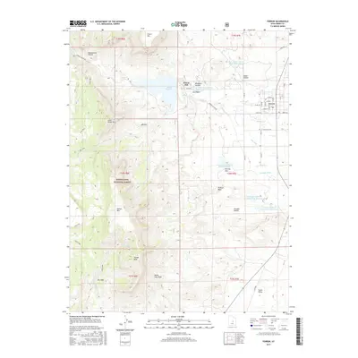
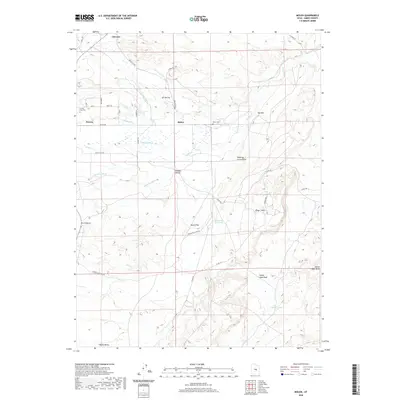
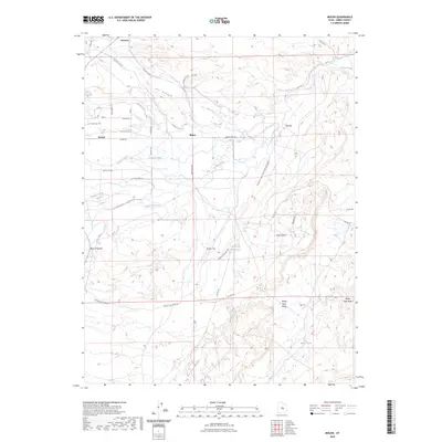
 1979 Ferron1979 Print · USGSEmery County agriculture is centered on the town of Ferron in the late 1970s, where complex irrigation systems meet the forest edge. Genealogists and local historians can locate the County Home, San Rafael Sch, and early hydraulic works like the King Aqueduct.
 - 1981 Map of Manti
 1981 Manti1981 Print · USGSCentral Utah in the early eighties shows a landscape of mountain-fed valleys and high plateau coal mines. Trace the rail lines of the Denver and Rio Grande Western or locate family roots in Gunnison, Orangeville, or Castle Dale.2 unique versions available
 - 1983 Map of Molen
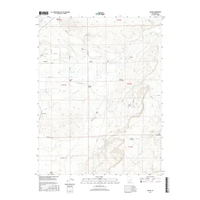
 1983 Molen1983 Print · USGSEmery County agriculture and desert topography are documented here in the early 1980s. Local historians and researchers can trace vital water systems like the Dutch Flat Aqueduct, find the local Cem, and explore the geologically distinct Molen Reef.
 - 2001 Map of Ferron, 2004 Print
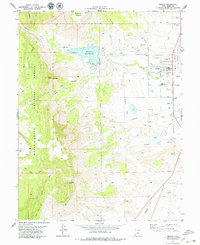
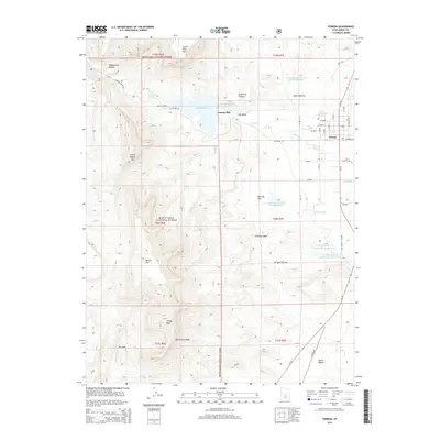
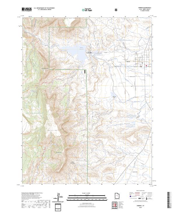
 2001 Ferron2004 Print · USGSFerron and the surrounding Emery County plateau are shown here at the turn of the millennium, as the community expanded alongside its vital water systems. Researchers can trace the extensive irrigation networks of the Molen Ditch or locate the historic Hole In The Rock Trail.
 - 2011 Map of Molen, 2011 Print
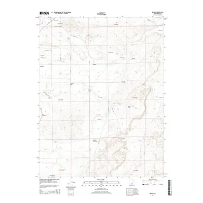
 2011 Molen2011 Print · USGSCovers Ferron, including Clawson, Emery County, and other nearby areas
 - 2011 Map of Ferron, 2011 Print
 2011 Ferron2011 Print · USGSCovers Ferron, including Emery County, United States, and other nearby areas
 - 2014 Map of Ferron, 2014 Print
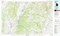
 2014 Ferron2014 Print · USGSCovers Ferron, including Emery County, United States, and other nearby areas
 - 2014 Map of Molen, 2014 Print
 2014 Molen2014 Print · USGSCovers Ferron, including Clawson, Emery County, and other nearby areas
 - 2017 Map of Ferron, 2017 Print
 2017 Ferron2017 Print · USGSCovers Ferron, including Emery County, United States, and other nearby areas
 - 2017 Map of Molen, 2017 Print
 2017 Molen2017 Print · USGSCovers Ferron, including Clawson, Emery County, and other nearby areas
 - 2020 Map of Molen, 2020 Print
 2020 Molen2020 Print · USGSCovers Ferron, including Clawson, Emery County, and other nearby areas
 - 2020 Map of Ferron, 2020 Print
 2020 Ferron2020 Print · USGSCovers Ferron, including Emery County, United States, and other nearby areas
 - 2023 Map of Ferron, 2023 Print
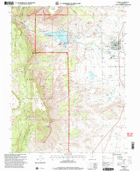
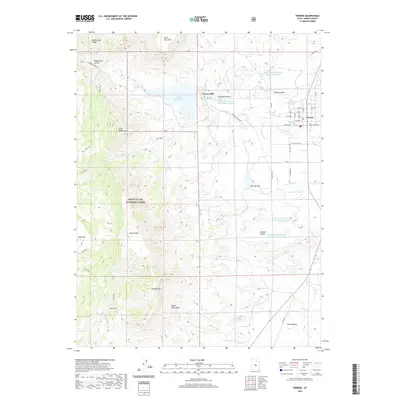
 2023 Ferron2023 Print · USGSThe high peaks of the Wasatch Plateau meet the desert farms of Emery County in this 2023 survey. You can trace the complex irrigation system that sustains this valley, including Molen Ditch and the waters of Millsite Reservoir near Ferron.
 - 2023 Map of Molen, 2023 Print
 2023 Molen2023 Print · USGSEmery County agriculture and desert geology meet in this survey of the valley near Ferron and Molen. Genealogists and historians can trace cemetery locations and an expansive irrigation network including Fugate Ditch and the Dutch Flat Reservoir.
End of results
Showing maps 1-21 of 21
Top cities near Ferron
Frequently asked questions
- What are the different types of historical maps available for Ferron?
- What is the oldest map of Ferron?
- Where can I purchase historical maps of Ferron for my home or office?
- Where can I download high-res historical maps of Ferron?
- Are there historical topographic maps available for Ferron?
- Is there historical aerial imagery available for Ferron?
- Where are historical maps of Ferron sourced from?