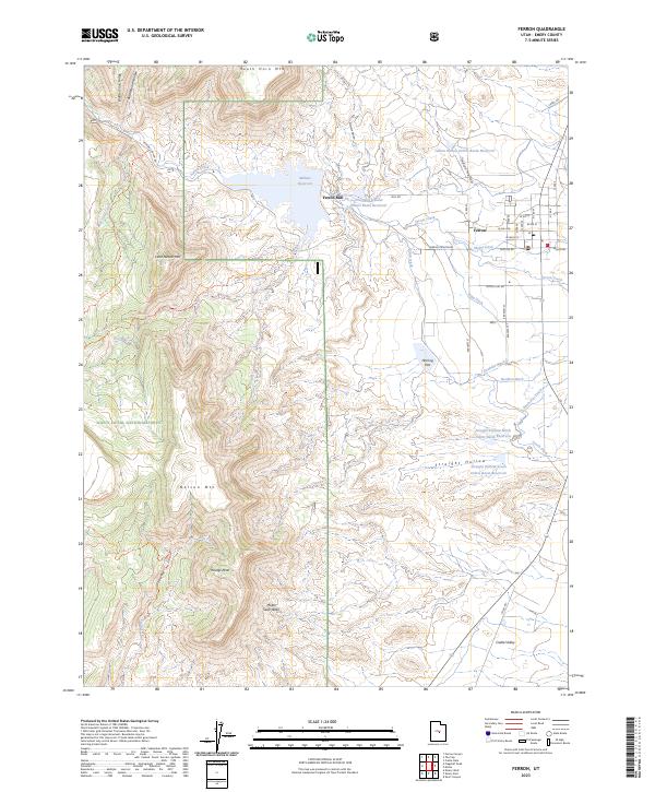
2023 Map of Ferron
USGS Topo · Published 2023About this map
Ferron sits at the eastern edge of the Manti-La Sal National Forest, where the high elevations of Little Nelson Mtn and Youngs Peak give way to the irrigated agricultural lands of Castle Valley. The landscape is defined by an intricate network of water management, centered on the Millsite Reservoir and the Ferron Creek drainage. Longstanding irrigation features like the Molen Ditch, King Ditch, and Zwahlen Ditch illustrate the complex history of water rights and desert cultivation in this part of Emery County. Settlement is concentrated near the historic Ferron Mill, with the surrounding terrain marked by numerous debris basin reservoirs, including Indian Hollow Debris Basin Reservoir and Straight Hollow North Debris Basin Reservoir, designed to manage sediment and runoff from the steep western ridges of Biddlecome Ridge.
Find a feature on this map
46 named features on this map. Tap any name to fly to it.
Don’t see what you’re looking for? This feature index may not catch every label — zoom into the map to look around manually.
Map Details
Editions of this 2023 Ferron Map
This is the sole edition of this map. No revisions or reprints were ever made.
Other maps of this area

1885 · Manti
USGS Topo · 1:250,000

1885 · Fish Lake
USGS Topo · 1:250,000

1895 · Manti
USGS Topo · 1:250,000

1896 · Fish Lake
USGS Topo · 1:250,000

1922 · Wasatch
USGS Topo · 1:31,680

1923 · Castle Dale
USGS Topo · 1:62,500

1925 · Castle Dale
USGS Topo · 1:62,500

1925 · Acord Lakes
USGS Topo · 1:62,500

1953 · Emery 1 NE
USGS Topo · 1:24,000

1956 · Salina
USGS Topo · 1:250,000