
1923 Map of Castle Dale
USGS Topo · Published 1958About this map
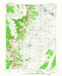
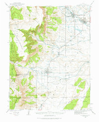
Castle Dale and Orangeville serve as the primary hubs of this high-desert landscape during the early 1920s, anchored by the waters of Cottonwood Creek. The map illustrates a well-developed irrigation and ranching network, where the Western Ditch and Johnson Ditch support agricultural life on the broad benches. To the west, the steep elevations of North Horn Mountain and South Horn Mountain define the transition into the Manti National Forest.
Find a feature on this map
44 named features on this map. Tap any name to fly to it.
Don’t see what you’re looking for? This feature index may not catch every label — zoom into the map to look around manually.
Map Details
Editions of this 1923 Castle Dale Map
3 editions found
Other maps of this area

1885 · San Rafael
USGS Topo · 1:250,000

1885 · Manti
USGS Topo · 1:250,000

1885 · Fish Lake
USGS Topo · 1:250,000

1886 · Price River
USGS Topo · 1:250,000

1895 · Manti
USGS Topo · 1:250,000

1896 · Price River
USGS Topo · 1:250,000

1896 · Fish Lake
USGS Topo · 1:250,000

1922 · Wasatch
USGS Topo · 1:31,680

1923 · Hiawatha
USGS Topo · 1:62,500

1925 · Castle Dale
USGS Topo · 1:62,500