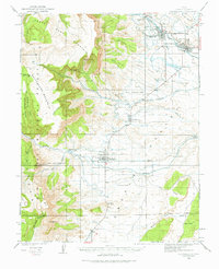
1923 Map of Castle Dale
USGS Topo · Published 1976About this map
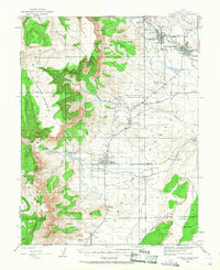
Castle Dale and the surrounding Emery County settlements are captured during a period of agricultural and mining development in the early 1920s. The map illustrates a landscape of high plateaus and alluvial benches, where the water from Cottonwood Creek and Ferron Creek sustained small communities and outlying operations like the Fox Ranch and Peterson Ranch. To the west, the steep escarpments of Horn Mountain and South Horn Mountain rise into the Manti National Forest, hiding early industrial attempts such as the Axel Anderson Mine and the Killpack Mine. This 1923 survey reveals the importance of water management in this arid region, showing the early network of ditches and the Ferron Mill that served the local economy before modern infrastructure transformed the Castle Valley region.
Find a feature on this map
40 named features on this map. Tap any name to fly to it.
Don’t see what you’re looking for? This feature index may not catch every label — zoom into the map to look around manually.
Map Details
Editions of this 1923 Castle Dale Map
3 editions found
Other maps of this area

1885 · San Rafael
USGS Topo · 1:250,000

1885 · Manti
USGS Topo · 1:250,000

1885 · Fish Lake
USGS Topo · 1:250,000

1886 · Price River
USGS Topo · 1:250,000

1895 · Manti
USGS Topo · 1:250,000

1896 · Price River
USGS Topo · 1:250,000

1896 · Fish Lake
USGS Topo · 1:250,000

1922 · Wasatch
USGS Topo · 1:31,680

1923 · Castle Dale
USGS Topo · 1:62,500

1923 · Hiawatha
USGS Topo · 1:62,500