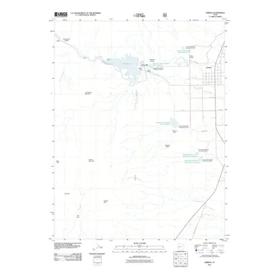
2011 Map of Ferron
USGS Topo · Published 2011About this map
The town of Ferron serves as the focal point for this Emery County landscape, where the transition from high plateau slopes to managed valley agriculture is clearly mapped. Water management dominates the geography, centered on Millsite Reservoir and the Millsite Dam, which regulate the flow of Ferron Creek as it descends from the western heights. The map details an extensive network of flood control structures, including the Ferron Debris Basin Number Five Dam and various reservoirs in Indian Hollow and Zwahlen Wash.
Find a feature on this map
39 named features on this map. Tap any name to fly to it.
Don’t see what you’re looking for? This feature index may not catch every label — zoom into the map to look around manually.
Map Details
Editions of this 2011 Ferron Map
This is the sole edition of this map. No revisions or reprints were ever made.
Other maps of this area

1885 · Manti
USGS Topo · 1:250,000

1885 · Fish Lake
USGS Topo · 1:250,000

1895 · Manti
USGS Topo · 1:250,000

1896 · Fish Lake
USGS Topo · 1:250,000

1922 · Wasatch
USGS Topo · 1:31,680

1923 · Castle Dale
USGS Topo · 1:62,500

1925 · Castle Dale
USGS Topo · 1:62,500

1925 · Acord Lakes
USGS Topo · 1:62,500

1953 · Emery 1 NE
USGS Topo · 1:24,000

1956 · Salina
USGS Topo · 1:250,000