Old Maps of Greenwich, Utah for Metal Detecting
Plan your next treasure hunt with 13 historic maps of Greenwich. Find old homesites, ghost towns, trails, and gathering spots that may be lost to time — perfect for identifying promising metal detecting locations.
- Locate forgotten sites: Uncover places like long-lost settlements, abandoned rail lines, or gathering spots.
- Plan better hunts: Use map overlays combined with LiDAR or satellite views to narrow in on historically rich areas.
- Made for detectorists: Thousands of hobbyists use these maps to discover relics, coins, and hidden history.
Use these historic maps to boost your research and find new opportunities beneath the surface of Greenwich.
Greenwich, UT maps
(13)- 1885 Map of Fish Lake
 1885 Fish Lake1885 Print · USGSThe high plateaus and early canyon settlements of central Utah are documented here in the mid-1880s, shortly after the Powell Survey. Genealogists and historians can trace early families in Salina, Antimony, and Cousharem, or locate remote sites like Bean Spring.
 - 1896 Map of Fish Lake, 1899 Print
 1896 Fish Lake1899 Print · USGSSouthern Utah in the late nineteenth century is a land of high plateaus and isolated river settlements. Trace early pioneer outposts like Thurber, Teardale, and Antimony alongside geological marvels such as Fish Lake and the Water Pocket Flexure.4 unique versions available
 - 1956 Map of Salina
 1956 Salina1956 Print · USGSCentral Utah in the mid-fifties reveals a landscape of high plateaus and desert basins before the modern highway era. Researchers can trace the ranching and mining roots of Hanksville and Loa or locate the Lucky Strike Mine near the San Rafael Swell.5 unique versions available
 - 1960 Map of Salina
 1960 Salina1960 Print · USGSThe high plateaus and canyonlands of south-central Utah appear in the early sixties as a region of remote ranching towns and developing parklands. Researchers can trace historic settlements like Fruita and Loa or locate the uranium mines and the tracks of the Denver and Rio Grande Western RR.2 unique versions available
 - 1962 Map of Salina
 1962 Salina1962 Print · USGSSevier County and the surrounding desert wilderness appear here in the early sixties as a network of isolated river valley towns and high-altitude forests. Researchers can locate remote landmarks like Fruita, trace the Denver & Rio Grande Western RR, and find backcountry sites like the Aquarius Ranger Station.
 - 1969 Map of Greenwich, 1972 Print
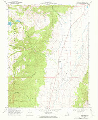 1969 Greenwich1972 Print · USGSThe high ranching country of Grass Valley and the Fish Lake National Forest are captured here in the late sixties. Researchers can trace remote water sources like Shaffers Springs, irrigation via the Canal, and the small community of Greenwich.2 unique versions available
 - 1980 Map of Loa
 1980 Loa1980 Print · USGSCentral Utah's high plateaus and the Fremont River corridor are captured here during the 1980s, showcasing a landscape of high-elevation reservoirs and remote ranching outposts. Genealogists can trace family names and early settlements from Loa and Teasdale to the orchards of Fruita.2 unique versions available
 - 2001 Map of Greenwich, 2003 Print
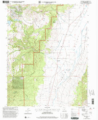 2001 Greenwich2003 Print · USGSGrass Valley and the Fish Lake National Forest met at the turn of the twenty-first century in this high-altitude survey of Piute County. Researchers can trace land use through the Koosharem Canal and find local landmarks like the Clay Mine and Greenwich.
 - 2011 Map of Greenwich, 2011 Print
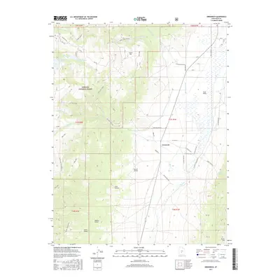
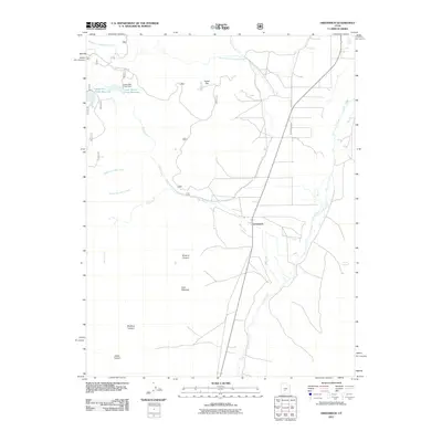 2011 Greenwich2011 Print · USGSCovers Greenwich, including Piute County, United States, and other nearby areas
 - 2014 Map of Greenwich, 2014 Print
 2014 Greenwich2014 Print · USGSCovers Greenwich, including Piute County, United States, and other nearby areas
 - 2017 Map of Greenwich, 2017 Print
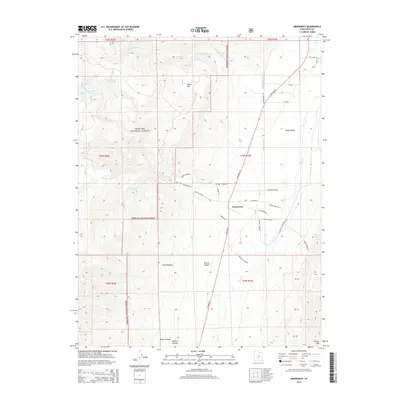
 2017 Greenwich2017 Print · USGSCovers Greenwich, including Piute County, United States, and other nearby areas
 - 2020 Map of Greenwich, 2020 Print
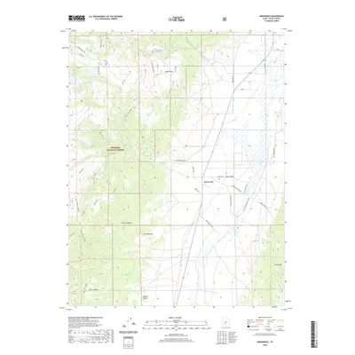 2020 Greenwich2020 Print · USGSCovers Greenwich, including Piute County, United States, and other nearby areas
 - 2023 Map of Greenwich, 2023 Print
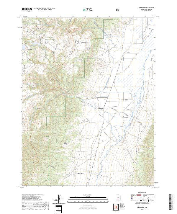 2023 Greenwich2023 Print · USGSGrass Valley and the surrounding peaks of Piute County are captured in this modern survey of the settlement of Greenwich. Researchers can trace local water systems like the Koosharem Canal and find family-named landmarks including Parker Springs and Magleby Ranch Rd.
End of results
Showing maps 1-13 of 13
Top cities near Greenwich
Frequently asked questions
- What are the different types of historical maps available for Greenwich?
- What is the oldest map of Greenwich?
- Where can I purchase historical maps of Greenwich for my home or office?
- Where can I download high-res historical maps of Greenwich?
- Are there historical topographic maps available for Greenwich?
- Is there historical aerial imagery available for Greenwich?
- Where are historical maps of Greenwich sourced from?