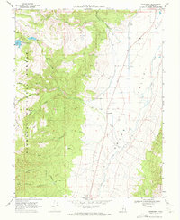
1969 Map of Greenwich
USGS Topo · Published 1972About this map
Greenwich stands as the central settlement in this high-altitude landscape where the agricultural flats of Grass Valley meet the rising slopes of the Fish Lake National Forest. The map documents a complex water management system essential for high-desert life, anchored by the Upper Box Creek Reservoir and Lower Box Creek Reservoir feeding into Box Creek. Numerous named water sources like Shaffers Springs and Parker Springs dot the terrain, highlighting the critical nature of water rights and ranching infrastructure in the region during the late 1960s.
Find a feature on this map
28 named features on this map. Tap any name to fly to it.
Don’t see what you’re looking for? This feature index may not catch every label — zoom into the map to look around manually.
Map Details
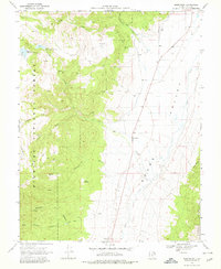
Editions of this 1969 Greenwich Map
2 editions found
Other maps of this area

1885 · Beaver
USGS Topo · 1:250,000

1885 · Fish Lake
USGS Topo · 1:250,000

1896 · Fish Lake
USGS Topo · 1:250,000

1940 · Monroe
USGS Topo · 1:62,500

1944 · Monroe
USGS Topo · 1:62,500

1945 · Marysvale
USGS Topo · 1:62,500

1947 · Marysvale
USGS Topo · 1:62,500

1953 · Richfield
USGS Topo · 1:250,000

1956 · Salina
USGS Topo · 1:250,000

1958 · Richfield
USGS Topo · 1:250,000