Old Maps of Forest Glen, Utah for Academic Research
Study the evolution of Forest Glen with 14 high-resolution historic maps. Whether you're teaching, researching, or modeling changes in land use, these maps provide essential visual documentation of urban, environmental, and geographic change.
- Analyze long-term change: Track patterns in development, transportation, and natural features.
- Ideal for environmental or urban studies: Support academic projects with primary historical map data.
- Use in the classroom or lab: Educators and researchers rely on these maps to bring historical context to life.
These maps are a powerful tool for teaching, research, and visualizing how Forest Glen has changed over the decades.
Forest Glen, UT maps
(14)- 1885 Map of Salt Lake
 1885 Salt Lake1885 Print · USGSThe Wasatch Front and surrounding high valleys appear here in the mid-1880s during a period of rapid mining and rail expansion. Genealogists and historians can trace early town sites and mining camps including Alta, Silver City, and the military grounds of Fort Douglass.7 unique versions available
 - 1925 Map of Ft. Douglas
 1925 Ft. Douglas1925 Print · USGSThe Wasatch Range in the mid-1920s shows a landscape of mining camps and early mountain tourism. Genealogists and researchers can trace the old paths of the Lincoln Highway and locate vanished stops like Gogorza, Kimballs, and the Pacific Mine.
 - 1928 Map of Ft. Douglas
 1928 Ft. Douglas1928 Print · USGSIn the mid-1920s, the high country east of Salt Lake was a hive of mining and early canyon tourism. Trace old claim sites like the Pacific Mine or visit early retreats such as Pinecrest Inn and the YWCA Camp during the mining era.2 unique versions available
 - 1954 Map of Salt Lake City, 1964 Print
 1954 Salt Lake City1964 Print · USGSThe Wasatch Front and Uinta Mountains are captured here in the mid-fifties, showing the industrial heart of Utah and its high mountain wilderness. Researchers can locate vanished infrastructure and landmarks like the Geneva Steel Plant, Bingham Canyon Mine, and the Utah State Prison.4 unique versions available
 - 1955 Map of Brighton, 1957 Print
 1955 Brighton1957 Print · USGSThe high Wasatch peaks are captured in the mid-1950s as a landscape defined by deep-shaft mining and emerging alpine recreation. Researchers can trace historic extraction sites like the Daly West Mine and Dutchman Mine alongside early camps such as Redman Forest Camp.4 unique versions available
 - 1958 Map of Salt Lake City
 1958 Salt Lake City1958 Print · USGSThe Wasatch Front and Uinta Basin are captured during a period of significant post-war growth and industrial development. Researchers can trace the mid-century rail lines of the Bamberger RR and locate sites like the Kiegley Limestone Quarry and Camp Williams Military Reservation.
 - 1960 Map of Salt Lake City
 1960 Salt Lake City1960 Print · USGSThe Wasatch Front and High Uintas are captured mid-century as the Salt Lake Valley underwent significant postwar expansion. Genealogists and historians can trace rail lines like the Union Pacific and locate established landmarks such as Fort Douglas, Camp Williams, and the Bingham Canyon Mine.
 - 1980 Map of Salt Lake City
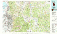 1980 Salt Lake City1980 Print · USGSSalt Lake City and the surrounding Wasatch Range are shown in the early eighties during a period of rapid suburban growth. Genealogists and historians can trace old mining operations like the Ontario Mine and Wasatch Mine or follow the path of the Union Pacific through the canyons.3 unique versions available
 - 1998 Map of Brighton, 2001 Print
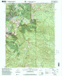 1998 Brighton2001 Print · USGSThe high Wasatch Range in the late nineties shows the convergence of alpine recreation and historic silver mining. Trace the shafts of the Daly West Mine and Flagstaff Mine or locate the Silver Lake Info and Rec Area at Brighton.
 - 2011 Map of Brighton, 2011 Print
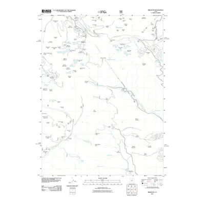 2011 Brighton2011 Print · USGSBrighton and the surrounding peaks are captured here in a period of transition between their deep mining roots and modern recreation. Researchers can trace the layout of historic operations like the Scottish Chief Mine and Prince of Wales Shaft alongside the developing Brighton Ski Area.
 - 2014 Map of Brighton, 2014 Print
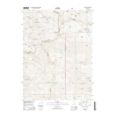 2014 Brighton2014 Print · USGSThe high Central Wasatch crest comes into focus during this era of peak alpine recreation and forest management. Researchers can trace the boundaries of Brighton Ski Resort, find backcountry camps like Redman Forest Camp, and locate specialized infrastructure like the Snake Cr Tunnel.
 - 2017 Map of Brighton, 2017 Print
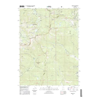 2017 Brighton2017 Print · USGSHigh in the Wasatch Range during the 2010s, this area reflects a deep history of alpine mining and modern recreation. Researchers can trace historic industrial sites like Miller Hill Mining and the Smuggler Tunnel, or locate natural landmarks such as Graveyard Flat and Bloods Lake.
 - 2020 Map of Brighton, 2020 Print
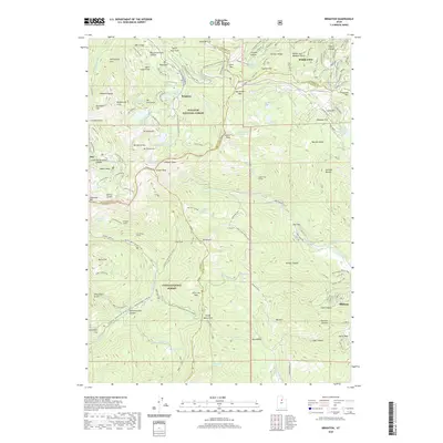 2020 Brighton2020 Print · USGSThe high peaks of the Wasatch Range come into focus in this detailed survey of the mountain passes and basins between Salt Lake and Summit counties. Researchers can trace the heritage of alpine settlements at Brighton and Alta or locate industrial sites like the Snake Creek Tunnel and Miller Hill Mining.
 - 2023 Map of Brighton, 2023 Print
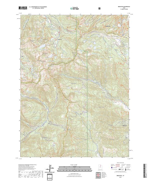 2023 Brighton2023 Print · USGSThe high peaks of the Wasatch Range come into sharp focus in this 2023 survey of the area between Brighton and Alta. Trace old mining routes like the Miller Hill Mining Trl and alpine passages such as Guardsman Pass and Scotts Pass.
End of results
Showing maps 1-14 of 14
Frequently asked questions
- What are the different types of historical maps available for Forest Glen?
- What is the oldest map of Forest Glen?
- Where can I purchase historical maps of Forest Glen for my home or office?
- Where can I download high-res historical maps of Forest Glen?
- Are there historical topographic maps available for Forest Glen?
- Is there historical aerial imagery available for Forest Glen?
- Where are historical maps of Forest Glen sourced from?