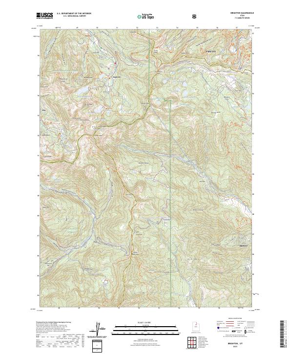
2023 Map of Brighton
USGS Topo · Published 2023About this map
Brighton and Alta anchor this high-elevation survey of the Wasatch Range, where the borders of Salt Lake, Wasatch, Summit, and Utah counties converge at a complex series of peaks and passes. The landscape is defined by its glacial history and modern utility, from the waters of Twin Lakes Reservoir and Lake Mary to the network of alpine trails like the Catherines Pass Trl and Albion Meadows Trl. This documentation of the area captures the intersection of heavy industry and recreation, shown through the Miller Hill Mining Trl winding near Miller Hill and the recreational development near Park City. To the south, the deep cut of American Fork Canyon and the headwaters of the American Fork river highlight the importance of this watershed for the surrounding valleys, including the nearby community of Midway.
Find a feature on this map
139 named features on this map. Tap any name to fly to it.
Don’t see what you’re looking for? This feature index may not catch every label — zoom into the map to look around manually.
Map Details
Editions of this 2023 Brighton Map
This is the sole edition of this map. No revisions or reprints were ever made.
Other maps of this area

1885 · Salt Lake
USGS Topo · 1:250,000

1900 · Coalville
USGS Topo · 1:125,000

1903 · Coalville
USGS Topo · 1:125,000

1907 · Strawberry Valley
USGS Topo · 1:125,000

1909 · Strawberry Valley
USGS Topo · 1:125,000

1925 · Ft. Douglas
USGS Topo · 1:125,000

1928 · Ft. Douglas
USGS Topo · 1:125,000

1948 · Timpanogos Cave
USGS Topo · 1:24,000

1948 · Orem
USGS Topo · 1:62,500

1948 · Aspen Grove
USGS Topo · 1:24,000