Old Maps of Clay Hills Crossing, Utah for Metal Detecting
Plan your next treasure hunt with 13 historic maps of Clay Hills Crossing. Find old homesites, ghost towns, trails, and gathering spots that may be lost to time — perfect for identifying promising metal detecting locations.
- Locate forgotten sites: Uncover places like long-lost settlements, abandoned rail lines, or gathering spots.
- Plan better hunts: Use map overlays combined with LiDAR or satellite views to narrow in on historically rich areas.
- Made for detectorists: Thousands of hobbyists use these maps to discover relics, coins, and hidden history.
Use these historic maps to boost your research and find new opportunities beneath the surface of Clay Hills Crossing.
Clay Hills Crossing, UT maps
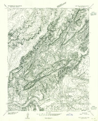
(13)- 1886 Map of Henry Mountains
 1886 Henry Mountains1886 Print · USGSSouthern Utah remains a wilderness of deep canyons and volcanic peaks in this 1880s survey. Researchers can trace the original courses of the Colorado River through Cataract Canyon and find landmarks like Navajo Mt and Monument Valley.
 - 1892 Map of Henry Mountains
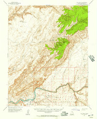
 1892 Henry Mountains1892 Print · USGSSouthern Utah in the late 1800s remains a wilderness of deep canyons and isolated peaks under the direction of J.W. Powell. Geologists and historians can trace the geological spine of the Water Pocket Fold and the early boundaries of the Navajo Indian Res. near Monument Valley.6 unique versions available
 - 1954 Map of Clay Hills 2 SW, 1955 Print
 1954 Clay Hills 2 SW1955 Print · USGSThe San Juan River canyonlands in the mid-fifties reveal a remote landscape of Navajo lands and river crossings. Researchers can trace the layout of Piute Farms, locate isolated dwellings at Hagans and Hogan, or find the historic Clay Hills Crossing.
 - 1954 Map of Clay Hills, 1957 Print
 1954 Clay Hills1957 Print · USGSThe San Juan River boundary and the high plateaus of southern Utah are captured here in the mid-1950s. Researchers can locate remote desert outposts like Piute Farms and Rockhouse, or trace early access routes at Clay Hills Crossing.4 unique versions available
 - 1956 Map of Escalante
 1956 Escalante1956 Print · USGSSouthern Utah and Northern Arizona are charted here in the mid-fifties, just before the canyon floor was transformed. Researchers can trace remote desert commerce at Oljeto Trading Post, find the Adairville (ruins), and locate Uranium mines.5 unique versions available
 - 1960 Map of Escalante
 1960 Escalante1960 Print · USGSSouthern Utah and northern Arizona appear at a historic turning point in the late fifties as Lake Powell begins to reshape the canyons. Researchers can trace remote sites like Goulding Trading Post, a lonely Uranium Mine, and Coyote Ranches before the reservoir's rise.
 - 1981 Map of Navajo Mountain, 1982 Print
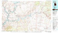 1981 Navajo Mountain1982 Print · USGSThe high desert border of Utah and Arizona is captured here in the early eighties, showing the sprawling waters of Lake Powell and the San Juan River. Researchers can locate the Sunwind Mine, the Navajo Mountain School, and the iconic Rainbow Bridge.
 - 1987 Map of Mikes Mesa
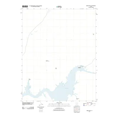
 1987 Mikes Mesa1987 Print · USGSThe San Juan River and Lake Powell are captured here in the late eighties, showing the dramatic intersection of desert canyonlands and rising reservoir waters. Researchers can trace the shoreline and find landmarks like Clay Hills Crossing, Mikes Mesa, and the Red House Cliffs.2 unique versions available
 - 2011 Map of Mikes Mesa, 2011 Print
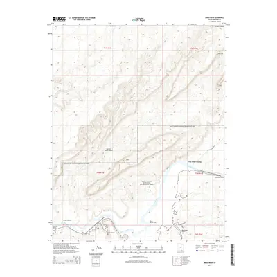
 2011 Mikes Mesa2011 Print · USGSCovers Clay Hills Crossing, including San Juan County, United States, and other nearby areas
 - 2014 Map of Mikes Mesa, 2014 Print
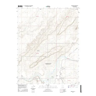
 2014 Mikes Mesa2014 Print · USGSCovers Clay Hills Crossing, including San Juan County, United States, and other nearby areas
 - 2017 Map of Mikes Mesa, 2017 Print
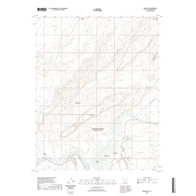
 2017 Mikes Mesa2017 Print · USGSCovers Clay Hills Crossing, including San Juan County, United States, and other nearby areas
 - 2020 Map of Mikes Mesa, 2020 Print
 2020 Mikes Mesa2020 Print · USGSCovers Clay Hills Crossing, including San Juan County, United States, and other nearby areas
 - 2023 Map of Mikes Mesa, 2023 Print
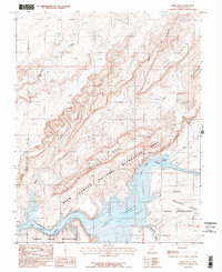
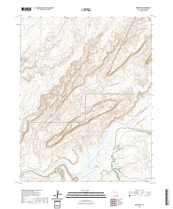 2023 Mikes Mesa2023 Print · USGSSan Juan County’s canyonlands appear in high detail on this contemporary survey of the river-cut plateaus. Researchers can trace historic access routes like Whirlwind Crossing Road and locate remote water sources such as Rock Spring above the San Juan River.
End of results
Showing maps 1-13 of 13
Frequently asked questions
- What are the different types of historical maps available for Clay Hills Crossing?
- What is the oldest map of Clay Hills Crossing?
- Where can I purchase historical maps of Clay Hills Crossing for my home or office?
- Where can I download high-res historical maps of Clay Hills Crossing?
- Are there historical topographic maps available for Clay Hills Crossing?
- Is there historical aerial imagery available for Clay Hills Crossing?
- Where are historical maps of Clay Hills Crossing sourced from?