2000s (21st Century) Maps of Salina, Utah
Explore 12 historic maps of Salina from the 2000s (21st Century). These maps offer a rare glimpse into what life looked like during the 2000s — showing old roads, neighborhoods, homes, and landmarks that have changed or disappeared over time.
Whether you're researching your family's past, planning a metal detecting trip, or studying how Salina's landscape evolved across the 2000s, these high-resolution maps are a powerful tool for exploring the history of this region.
- Focus on a specific era: All maps on this page are from the 2000s, giving you a focused view of this time period.
- See what’s changed: Compare century-old streets, trails, and buildings to today's modern landscape using overlays and satellite layers.
- Research with precision: Use these maps for genealogy, historical research, land use analysis, or educational projects.
- View, download, or print: Maps are fully viewable online in high resolution, and can be downloaded or printed for your own records.
Start exploring Salina's history through authentic maps from the 2000s. This is your window into the past.
Salina, UT maps
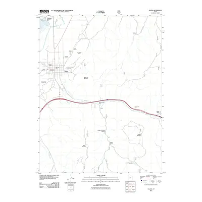
(12)- 2001 Map of Aurora, 2003 Print
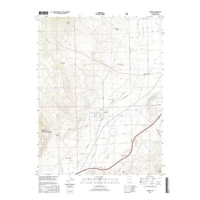
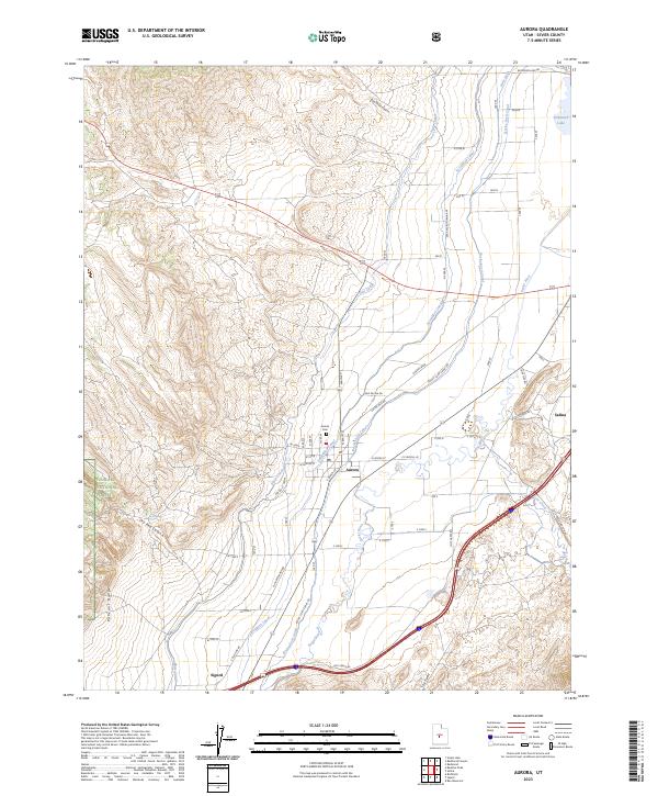
 2001 Aurora2003 Print · USGSThe town of Aurora and the Sevier River valley are shown at the turn of the millennium, showcasing a high-desert landscape shaped by intensive irrigation. Researchers can trace the paths of the Vermillion Canal and Piute Canal or locate local landmarks like the town Cem and Redmond Lake.
 - 2001 Map of Salina, 2003 Print
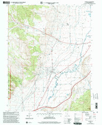
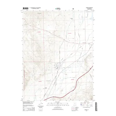
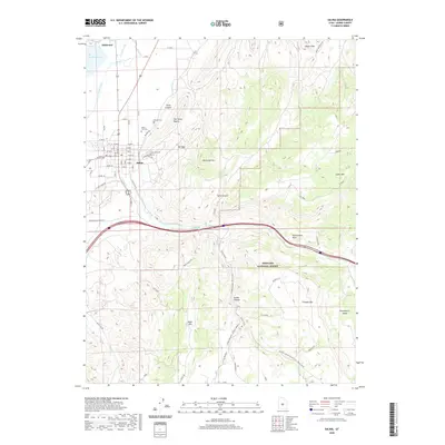
 2001 Salina2003 Print · USGSThe Sevier River valley comes to life in this early 2000s study of central Utah as the local landscape transitioned toward modern development. Researchers can trace family history at Pioneer Cem, locate the old The Stone Quarry, and explore the rugged borders of the Fishlake National Forest.
 - 2011 Map of Salina, 2011 Print
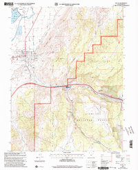
 2011 Salina2011 Print · USGSCovers Salina, including Redmond, Sevier County, and other nearby areas
 - 2011 Map of Aurora, 2011 Print
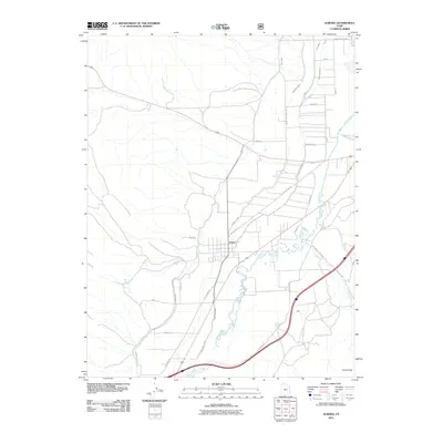 2011 Aurora2011 Print · USGSCovers Salina, including Aurora, Redmond, and other nearby areas
 - 2014 Map of Aurora, 2014 Print
 2014 Aurora2014 Print · USGSCovers Salina, including Aurora, Redmond, and other nearby areas
 - 2014 Map of Salina, 2014 Print
 2014 Salina2014 Print · USGSCovers Salina, including Redmond, Sevier County, and other nearby areas
 - 2017 Map of Salina, 2017 Print
 2017 Salina2017 Print · USGSCovers Salina, including Redmond, Sevier County, and other nearby areas
 - 2017 Map of Aurora, 2017 Print
 2017 Aurora2017 Print · USGSCovers Salina, including Aurora, Redmond, and other nearby areas
 - 2020 Map of Aurora, 2020 Print
 2020 Aurora2020 Print · USGSCovers Salina, including Aurora, Redmond, and other nearby areas
 - 2020 Map of Salina, 2020 Print
 2020 Salina2020 Print · USGSCovers Salina, including Redmond, Sevier County, and other nearby areas
 - 2023 Map of Salina, 2023 Print
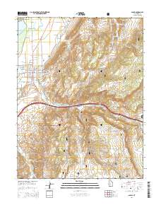
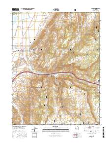
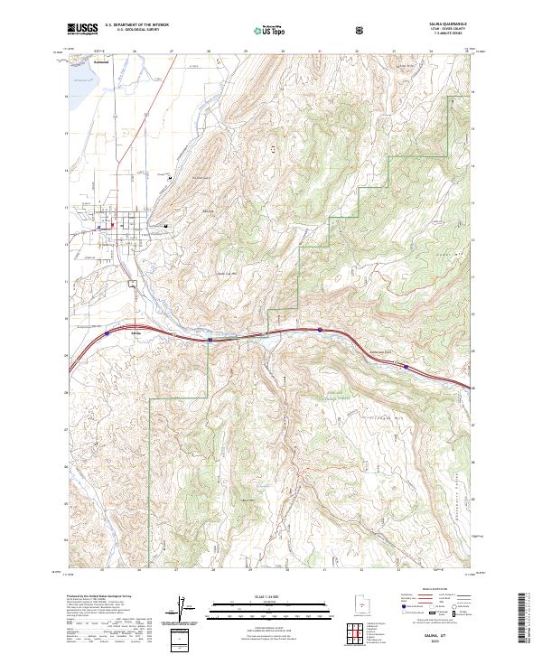 2023 Salina2023 Print · USGSSalina and Redmond sit at the junction of the Sevier River valley and the Fishlake National Forest in this modern era survey. Trace historical burial sites like Pioneer Cem, local industry at The Stone Quarry, and the irrigation network of the Trunk Ditch.
 - 2023 Map of Aurora, 2023 Print
 2023 Aurora2023 Print · USGSThe Sevier River valley comes into focus during this recent era of Utah settlement and agriculture. Genealogists and historians can trace the irrigation network of the Vermillion Canal and Piute Canal or locate family sites near the Aurora Cem and Redmond Lake.
End of results
Showing maps 1-12 of 12
Top cities near Salina
- Richfield historical maps
- Gunnison historical maps
- Centerfield historical maps
- Aurora historical maps
- Redmond historical maps
- Glenwood historical maps
See more
Frequently asked questions
- What are the different types of historical maps available for Salina?
- What is the oldest map of Salina?
- Where can I purchase historical maps of Salina for my home or office?
- Where can I download high-res historical maps of Salina?
- Are there historical topographic maps available for Salina?
- Is there historical aerial imagery available for Salina?
- Where are historical maps of Salina sourced from?