Old Maps of Tooele, Utah for Academic Research
Study the evolution of Tooele with 15 high-resolution historic maps. Whether you're teaching, researching, or modeling changes in land use, these maps provide essential visual documentation of urban, environmental, and geographic change.
- Analyze long-term change: Track patterns in development, transportation, and natural features.
- Ideal for environmental or urban studies: Support academic projects with primary historical map data.
- Use in the classroom or lab: Educators and researchers rely on these maps to bring historical context to life.
These maps are a powerful tool for teaching, research, and visualizing how Tooele has changed over the decades.
Tooele, UT maps
(15)- 1885 Map of Tooele Valley
 1885 Tooele Valley1885 Print · USGSCovers Tooele, including Salt Lake City, West Valley City, and other nearby areas6 unique versions available
 - 1915 Map of Fairfield, 1957 Print
 1915 Fairfield1957 Print · USGSCovers Tooele, including Eagle Mountain, Herriman, and other nearby areas
 - 1917 Map of Fairfield
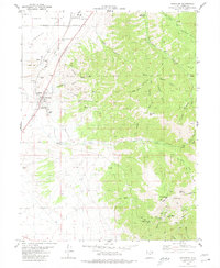
 1917 Fairfield1917 Print · USGSCovers Tooele, including Eagle Mountain, Herriman, and other nearby areas2 unique versions available
 - 1918 Map of Stockton
 1918 Stockton1918 Print · USGSCovers Tooele, including Stockton, Rush Valley, and other nearby areas4 unique versions available
 - 1953 Map of Tooele, 1968 Print
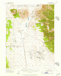
 1953 Tooele1968 Print · USGSCovers Tooele, including Salt Lake City, West Valley City, and other nearby areas3 unique versions available
 - 1955 Map of Stockton, 1957 Print
 1955 Stockton1957 Print · USGSCovers Tooele, including Stockton, Rush Valley, and other nearby areas2 unique versions available
 - 1955 Map of Tooele, 1958 Print
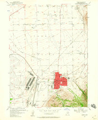
 1955 Tooele1958 Print · USGSCovers Tooele, including Salt Lake City, West Valley City, and other nearby areas3 unique versions available
 - 1955 Map of Tooele, 1960 Print
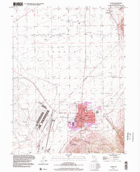
 1955 Tooele1960 Print · USGSCovers Tooele, including Grantsville, Erda, and other nearby areas3 unique versions available
 - 1968 Map of Lowe Peak, 1971 Print
 1968 Lowe Peak1971 Print · USGSCovers Tooele, including Cedar Fort, Salt Lake County, and other nearby areas
 - 1979 Map of Rush Valley
 1979 Rush Valley1979 Print · USGSCovers Tooele, including Eagle Mountain, Herriman, and other nearby areas2 unique versions available
 - 1979 Map of Tooele, 1980 Print
 1979 Tooele1980 Print · USGSCovers Tooele, including Salt Lake City, West Valley City, and other nearby areas
 - 1980 Map of Stockton
 1980 Stockton1980 Print · USGSCovers Tooele, including Stockton, Tad Park, and other nearby areas2 unique versions available
 - 1993 Map of Lowe Peak
 1993 Lowe Peak1993 Print · USGSCovers Tooele, including Cedar Fort, Salt Lake County, and other nearby areas
 - 1997 Map of Tooele, 2002 Print
 1997 Tooele2002 Print · USGSCovers Tooele, including Grantsville, Erda, and other nearby areas
 - 1997 Map of Lowe Peak, 2002 Print
 1997 Lowe Peak2002 Print · USGSCovers Tooele, including Cedar Fort, Salt Lake County, and other nearby areas
End of results
Showing maps 1-15 of 15
Top cities near Tooele
- Salt Lake City historical maps
- West Valley City historical maps
- West Jordan historical maps
- South Jordan historical maps
- Eagle Mountain historical maps
- Herriman historical maps
See more
Top neighborhoods of Tooele
Frequently asked questions
- What are the different types of historical maps available for Tooele?
- What is the oldest map of Tooele?
- Where can I purchase historical maps of Tooele for my home or office?
- Where can I download high-res historical maps of Tooele?
- Are there historical topographic maps available for Tooele?
- Is there historical aerial imagery available for Tooele?
- Where are historical maps of Tooele sourced from?