Old Maps of Grantsville, Utah
Explore 38 old maps of Grantsville, spanning from 1885 to today. These high-resolution historic maps reveal how streets, neighborhoods, landmarks, and natural features evolved over time — perfect for genealogy, metal detecting, research, and local history exploration.
What you can do with these maps:
- See how Grantsville changed over time: Compare historical maps to modern-day views to trace roads, homesites, rail lines & more.
- View detailed metadata: Each map includes creators, publishers, year, scale, and archive source.
- Overlay maps with satellite & LiDAR: Visualize the past alongside modern tools to explore terrain & human change.
- Trusted historical sources: Maps sourced from the USGS, Library of Congress, and other archives.
- Access maps your way: View online, download high-res files, or order prints for personal or research use.
Start exploring old maps of Grantsville to uncover forgotten places, hidden landmarks, and the deep history beneath your feet.
Grantsville, UT maps
(38)- 1885 Map of Tooele Valley
 1885 Tooele Valley1885 Print · USGSThe valleys and ranges west of the Wasatch are captured here in the mid-1880s, showcasing the early mining and rail infrastructure of the region. Genealogists can trace early settlements like Grantsville, Ophir, and Stockton, or the route of the Utah and Nevada R. R.6 unique versions available
 - 1953 Map of Tooele, 1968 Print
 1953 Tooele1968 Print · USGSTooele County is shown here in the 1950s, a vast landscape transitioning between the industrial growth of the Salt Lake Valley and isolated military testing grounds. Researchers can trace the routes of the Western Pacific railroad and locate historic outposts like Iosepa Ranch and St John Station.3 unique versions available
 - 1955 Map of Timpie, 1957 Print
 1955 Timpie1957 Print · USGSThe Stansbury Mountains and the edge of the Salt Lake desert are captured here in the mid-fifties. Researchers can trace the rail junction at Timpie and the transition from mountain canyons to the alkali flats of Skull Valley.2 unique versions available
 - 1955 Map of Burmester, 1957 Print
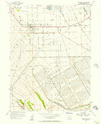
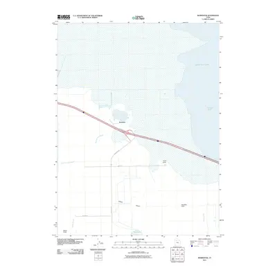
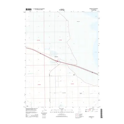
 1955 Burmester1957 Print · USGSTooele Valley at the mid-century mark shows a landscape of salt flats and vital groundwater resources near the Great Salt Lake. Researchers can trace the Western Pacific rail line through Burmester or locate early irrigation via Artesian Wells and Willow Fields.
 - 1955 Map of Grantsville, 1957 Print
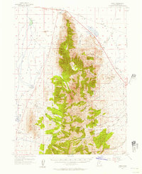
 1955 Grantsville1957 Print · USGSGrantsville and the surrounding Tooele Valley were at a crossroads of military expansion and pioneer heritage in the mid-fifties. Genealogists and historians can trace the town's growth from the Grantsville Fort Historic Marker to the sprawling Tooele Ordnance Depot.2 unique versions available
 - 1955 Map of Tooele, 1958 Print
 1955 Tooele1958 Print · USGSTooele County and the Great Salt Lake are captured here during the mid-fifties, an era of burgeoning military testing and industrial mining. Researchers can trace the rail sidings at Salduro Station, the grounds of the Deseret Chemical Corps Depot, and the International Smelting Co facilities.3 unique versions available
 - 1955 Map of Tooele, 1960 Print
 1955 Tooele1960 Print · USGSTooele was evolving into a significant military and industrial center in the mid-fifties, anchored by the massive Tooele Ordnance Depot. Local historians can trace the town's mid-century footprint, from the Drive-in Theater to the family-named Angels Grove and Warner Station.3 unique versions available
 - 1972 Map of Burmester, 1974 Print
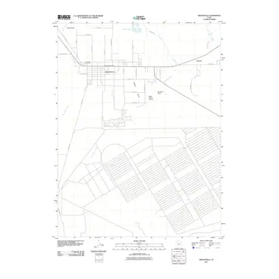
 1972 Burmester1974 Print · USGSTooele Valley meets the salt flats in the early 1970s, showcasing a landscape of rail transport and industrial salt works. Genealogists and historians can trace the Western Pacific corridor and find local landmarks like Burmester, Warm Springs, and Blue Lakes.
 - 1979 Map of Tooele, 1980 Print
 1979 Tooele1980 Print · USGSTooele and the eastern Oquirrh foothills appear here in the late seventies, showing a landscape defined by massive industrial works and military sites. Researchers can trace the rail corridors of the Western Pacific or locate the historic Monarch Mine and the vast Open Pit Mine near Bingham.
 - 1985 Map of Flux
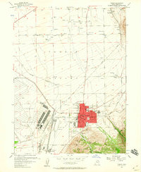
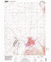
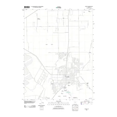
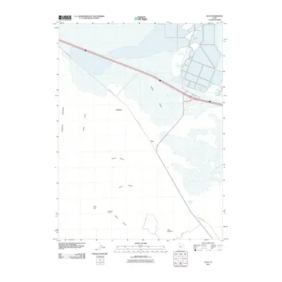
 1985 Flux1985 Print · USGSThe Tooele Valley in the mid-eighties shows a rugged landscape shaped by salt production and canyon drainage. Genealogists and historians can trace industrial sites at Flux and Dolomite or locate family landmarks near Grantsville and Miners Canyon.
 - 1985 Map of North Willow Canyon
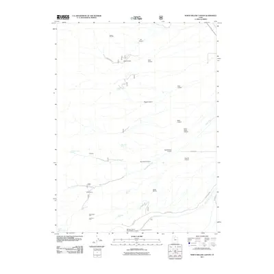
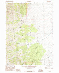 1985 North Willow Canyon1985 Print · USGSThe eastern slopes of the Stansbury Mountains come into sharp focus in the mid-1980s, revealing a landscape defined by mining and forest management. Hikers and historians can trace the network of Mines, Prospects, and high-country water sources like North Willow Lake and Pope Canyon Spring.2 unique versions available
 - 1997 Map of Tooele, 2002 Print
 1997 Tooele2002 Print · USGSThe Tooele Valley at the close of the twentieth century shows a landscape defined by military industry and mountain-shadowed settlements. Trace local family history at the Tooele Cemetery, or locate old rail stops like Warner Station and Erda Siding.
 - 1998 Map of North Willow Canyon, 2001 Print
 1998 North Willow Canyon2001 Print · USGSThe eastern slopes of the Stansbury Mountains come into focus in this late-nineties survey of Utah's high country. Trace the rugged transition from Deseret Peak Wilderness peaks to the valley floor, locating Mines Prospects and North Willow Lake.
 - 2011 Map of Burmester, 2011 Print
 2011 Burmester2011 Print · USGSCovers Grantsville, including Tooele County, United States, and other nearby areas
 - 2011 Map of Grantsville, 2011 Print
 2011 Grantsville2011 Print · USGSCovers Grantsville, including Marshall, Tooele County, and other nearby areas
 - 2011 Map of Tooele, 2011 Print
 2011 Tooele2011 Print · USGSCovers Grantsville, including Tooele, Erda, and other nearby areas
 - 2011 Map of Flux, 2011 Print
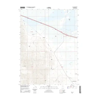
 2011 Flux2011 Print · USGSCovers Grantsville, including Tooele County, United States, and other nearby areas
 - 2011 Map of North Willow Canyon, 2011 Print
 2011 North Willow Canyon2011 Print · USGSCovers Grantsville, including Tooele County, United States, and other nearby areas
 - 2014 Map of Burmester, 2014 Print
 2014 Burmester2014 Print · USGSCovers Grantsville, including Tooele County, United States, and other nearby areas
 - 2014 Map of Flux, 2014 Print
 2014 Flux2014 Print · USGSCovers Grantsville, including Tooele County, United States, and other nearby areas
 - 2014 Map of Tooele, 2014 Print
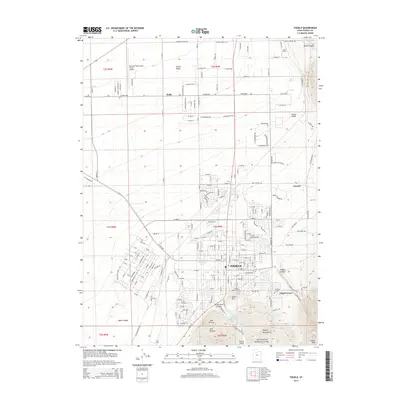 2014 Tooele2014 Print · USGSCovers Grantsville, including Tooele, Erda, and other nearby areas
 - 2014 Map of Grantsville, 2014 Print
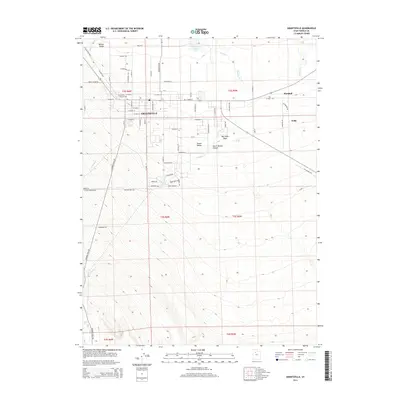 2014 Grantsville2014 Print · USGSCovers Grantsville, including Marshall, Tooele County, and other nearby areas
 - 2014 Map of North Willow Canyon, 2014 Print
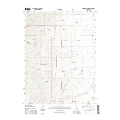 2014 North Willow Canyon2014 Print · USGSCovers Grantsville, including Tooele County, United States, and other nearby areas
 - 2017 Map of North Willow Canyon, 2017 Print
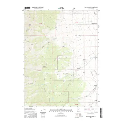 2017 North Willow Canyon2017 Print · USGSCovers Grantsville, including Tooele County, United States, and other nearby areas
 - 2017 Map of Burmester, 2017 Print
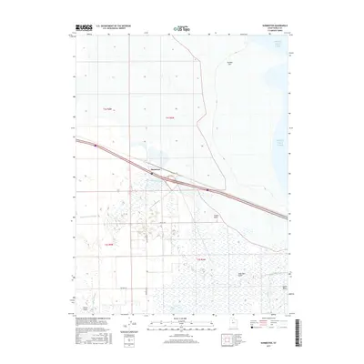 2017 Burmester2017 Print · USGSCovers Grantsville, including Tooele County, United States, and other nearby areas
Showing maps 1-25 of 38
Top cities near Grantsville
- Tooele historical maps
- Magna historical maps
- Stansbury Park historical maps
- Erda historical maps
- Lake Point historical maps
- Stockton historical maps
See more
Frequently asked questions
- What are the different types of historical maps available for Grantsville?
- What is the oldest map of Grantsville?
- Where can I purchase historical maps of Grantsville for my home or office?
- Where can I download high-res historical maps of Grantsville?
- Are there historical topographic maps available for Grantsville?
- Is there historical aerial imagery available for Grantsville?
- Where are historical maps of Grantsville sourced from?