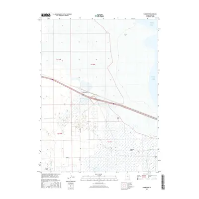
2017 Map of Burmester
USGS Topo · Published 2017About this map
Burmester sits at the nexus of the Great Salt Lake’s southern shore and the marshy expanses of the Tooele Valley. This modern survey illustrates a landscape defined by complex hydrology, where the Great Salt Lake meets inland wetlands like Warm Springs Slough and Copleys Slough. The transition from the saline waters of the lake to the freshwater influence of the Blue Lakes and Willow Fields creates a distinctive ecological mosaic. Infrastructure such as Burmester Rd and Higley Rd provides access to these low-lying areas, while topographic relief is found only in subtle features like Coyote Knolls and the northern Eardley Spit. The map documents a sparsely populated but geographically significant corridor between the Oquirrh Mountains and the salt flats.
Find a feature on this map
17 named features on this map. Tap any name to fly to it.
Don’t see what you’re looking for? This feature index may not catch every label — zoom into the map to look around manually.
Map Details
Editions of this 2017 Burmester Map
This is the sole edition of this map. No revisions or reprints were ever made.
Other maps of this area

1885 · Tooele Valley
USGS Topo · 1:250,000

1953 · Tooele
USGS Topo · 1:250,000

1955 · Timpie
USGS Topo · 1:62,500

1955 · Mills Junction
USGS Topo · 1:24,000

1955 · Burmester
USGS Topo · 1:24,000

1955 · Grantsville
USGS Topo · 1:24,000

1955 · Tooele
USGS Topo · 1:250,000

1955 · Tooele
USGS Topo · 1:24,000

1968 · Plug Peak SE
USGS Topo · 1:24,000

1968 · Corral Canyon
USGS Topo · 1:24,000