2000s (21st Century) Maps of Grantsville, Utah
Explore 25 historic maps of Grantsville from the 2000s (21st Century). These maps offer a rare glimpse into what life looked like during the 2000s — showing old roads, neighborhoods, homes, and landmarks that have changed or disappeared over time.
Whether you're researching your family's past, planning a metal detecting trip, or studying how Grantsville's landscape evolved across the 2000s, these high-resolution maps are a powerful tool for exploring the history of this region.
- Focus on a specific era: All maps on this page are from the 2000s, giving you a focused view of this time period.
- See what’s changed: Compare century-old streets, trails, and buildings to today's modern landscape using overlays and satellite layers.
- Research with precision: Use these maps for genealogy, historical research, land use analysis, or educational projects.
- View, download, or print: Maps are fully viewable online in high resolution, and can be downloaded or printed for your own records.
Start exploring Grantsville's history through authentic maps from the 2000s. This is your window into the past.
Grantsville, UT maps
(25)- 2011 Map of Burmester, 2011 Print
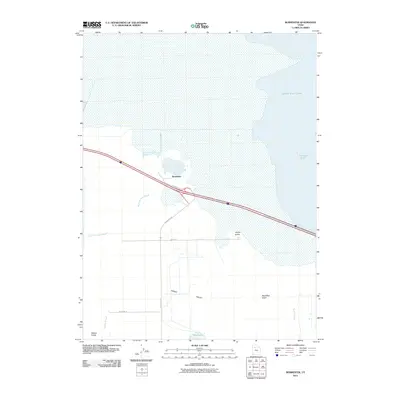 2011 Burmester2011 Print · USGSThe Tooele Valley shoreline comes into focus during this early twenty-first-century survey of the Great Salt Lake margin. Researchers can trace the water levels of Fremont Strait and locate the small settlement of Burmester near Warm Springs Slough.
 - 2011 Map of Grantsville, 2011 Print
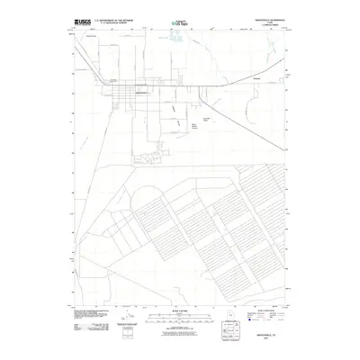 2011 Grantsville2011 Print · USGSGrantsville and the surrounding Tooele Valley are captured in this recent survey during a period of continued development. Local historians can trace the paths of the Old Lincoln Hwy and Mormon Trl near features like Blue Lakes and the Grantsville City Cemetery.
 - 2011 Map of Tooele, 2011 Print
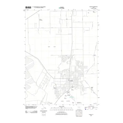 2011 Tooele2011 Print · USGSTooele and the southern valley floor are shown in the early 2000s as residential growth meets the Oquirrh Mountains. Genealogists and researchers can trace local landmarks like the Tooele City Cemetery, the Erda Siding, and the Settlement Canyon Dam.
 - 2011 Map of Flux, 2011 Print
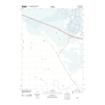 2011 Flux2011 Print · USGSThe northern reaches of the Tooele Valley are captured here in the early twenty-first century, showcasing a landscape of industrial outposts and mountain canyons. Trace the heritage of local mining at the Monte Carlo Mine or follow the path of the historic Old Lincoln Hwy.
 - 2011 Map of North Willow Canyon, 2011 Print
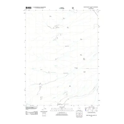 2011 North Willow Canyon2011 Print · USGSThe Stansbury Mountains in the early twenty-first century reveal a landscape defined by historical mining and rugged drainage systems. Researchers can trace high-altitude mineral sites like the Dragon Mine and Monarch Mine or follow the route of the Mormon Trl.
 - 2014 Map of Burmester, 2014 Print
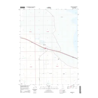 2014 Burmester2014 Print · USGSTooele Valley meets the southern reaches of the Great Salt Lake in the early twenty-first century, showing a landscape shaped by saline wetlands and ranching. Genealogists and locals can trace the roads around Burmester and find landmarks like Dead Man Gulch and Eardley Spit.
 - 2014 Map of Flux, 2014 Print
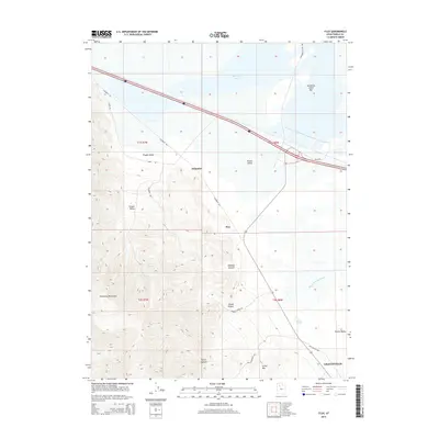 2014 Flux2014 Print · USGSTooele County's dramatic transition from the high peaks of the Stansbury Mountains to the saline flats of Stansbury Bay is documented in this contemporary survey. Researchers can trace historic transit routes like the Old Lincoln Hwy and locate industrial-linked sites at Dolomite and Flux.
 - 2014 Map of Tooele, 2014 Print
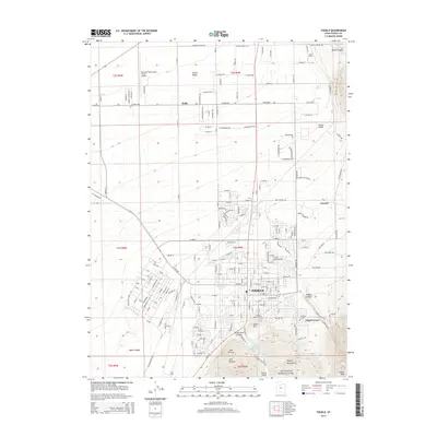 2014 Tooele2014 Print · USGSTooele and the eastern Oquirrh Mountains are documented here in the early twenty-first century as the valley floor continued to develop. Genealogists and local historians can trace the grid of Tooele, the grounds of Tooele City Cem, and the layout of Tod Park.
 - 2014 Map of Grantsville, 2014 Print
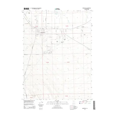 2014 Grantsville2014 Print · USGSTooele County's high desert landscape meets early western transit routes in this 2014 study of Grantsville. Researchers can trace the legacy of the Mormon Trail Rd and the Old Lincoln Hwy alongside the Grantsville City Cem.
 - 2014 Map of North Willow Canyon, 2014 Print
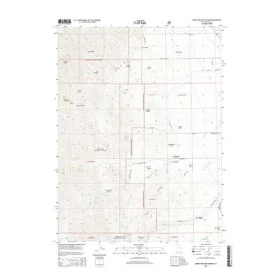 2014 North Willow Canyon2014 Print · USGSThe Stansbury Mountains and the eastern front of the Wasatch National Forest are documented here in the early twenty-first century. Genealogists and historians can trace the paths of the Mormon Trail Rd or locate the remote North Willow Lake and the Mining Fork of South Willow Canyon.
 - 2017 Map of North Willow Canyon, 2017 Print
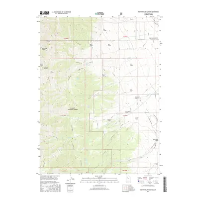 2017 North Willow Canyon2017 Print · USGSThe eastern slopes of the Stansbury Mountains come into sharp focus in this recent Utah survey. Researchers can trace the water sources and mountain routes that shaped local land use, from Mack Canyon down to the outskirts of Grantsville.
 - 2017 Map of Burmester, 2017 Print
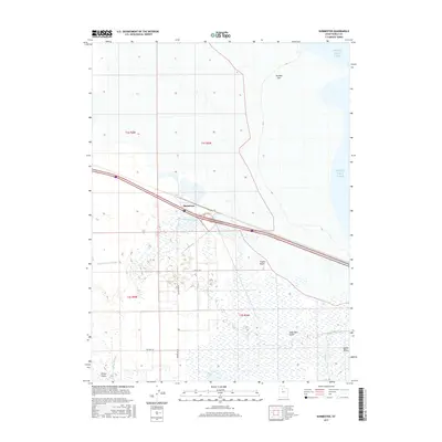 2017 Burmester2017 Print · USGSTooele Valley’s northern marshes and the southern reaches of the Great Salt Lake are documented here in the late 2010s. Trace the rural development around Burmester and the winding paths of Warm Springs Slough and Copleys Slough through the valley floor.
 - 2017 Map of Tooele, 2017 Print
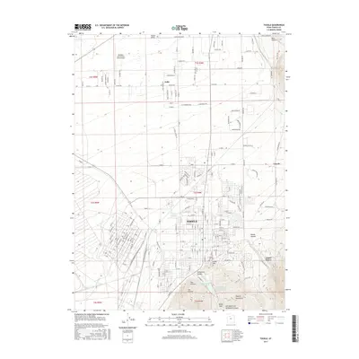 2017 Tooele2017 Print · USGSTooele and the base of the Oquirrh Mountains are shown here during a period of modern growth and resource management. Researchers can trace historic burial sites at Erda Pioneer Cem and the Tooele City Cem or follow water sources like Settlement Canyon Reservoir.
 - 2017 Map of Grantsville, 2017 Print
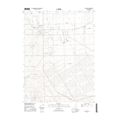 2017 Grantsville2017 Print · USGSGrantsville and the surrounding Tooele Valley are shown in the late 2010s during a period of steady residential growth. Genealogists and local historians can trace family locations near the Grantsville City Cem or out toward Marshall and Erda.
 - 2017 Map of Flux, 2017 Print
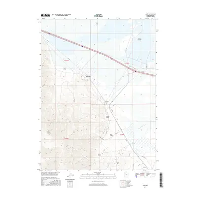 2017 Flux2017 Print · USGSTooele County’s industrial and desert landscape is captured here in the late 2010s, showing the intersection of mountain drainage and salt flats. Researchers can trace the path of the Old Lincoln Hwy past the settlements of Flux and Dolomite.
 - 2020 Map of Tooele, 2020 Print
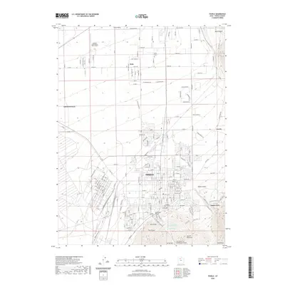 2020 Tooele2020 Print · USGSTooele and the surrounding valley are shown in great detail during this era of suburban and mountain-front growth. Researchers can find burial sites like Erda Pioneer Cem and trace the canyon landscapes of Middle Canyon and Tooele Peak.
 - 2020 Map of Flux, 2020 Print
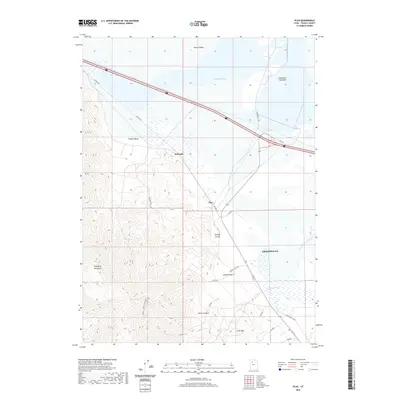 2020 Flux2020 Print · USGSTooele County at the edge of the Great Salt Lake reveals a landscape of mountain canyons and valley floor industry in the early 2020s. Trace local history along Old Lincoln Hwy or explore the mining heritage near Flux and Kimball Canyon Mining Rd.
 - 2020 Map of Burmester, 2020 Print
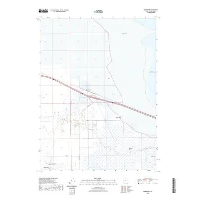 2020 Burmester2020 Print · USGSThe marshlands of the Tooele Valley meet the southern shores of the Great Salt Lake in this modern survey of northern Utah. Genealogists and researchers can trace the vicinity of Grantsville and Burmester along with landmarks like Warm Springs Slough.
 - 2020 Map of North Willow Canyon, 2020 Print
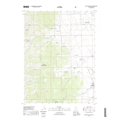 2020 North Willow Canyon2020 Print · USGSNear Grantsville in the late 2010s, the landscape shifts from industrial military grounds to the high peaks of the Stansbury Mountains. Researchers can trace old mountain water sources like Limekiln Spring or the drainage of Box Elder Wash at the edge of the Tooele Army Depot.
 - 2020 Map of Grantsville, 2020 Print
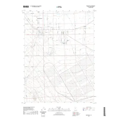 2020 Grantsville2020 Print · USGSGrantsville and the surrounding Tooele Valley are captured here in the modern era as the community expands along its historic grid. Researchers can trace the path of the Old Lincoln Hwy and locate local landmarks like the Grantsville City Cem and Marshall.
 - 2023 Map of North Willow Canyon, 2023 Print
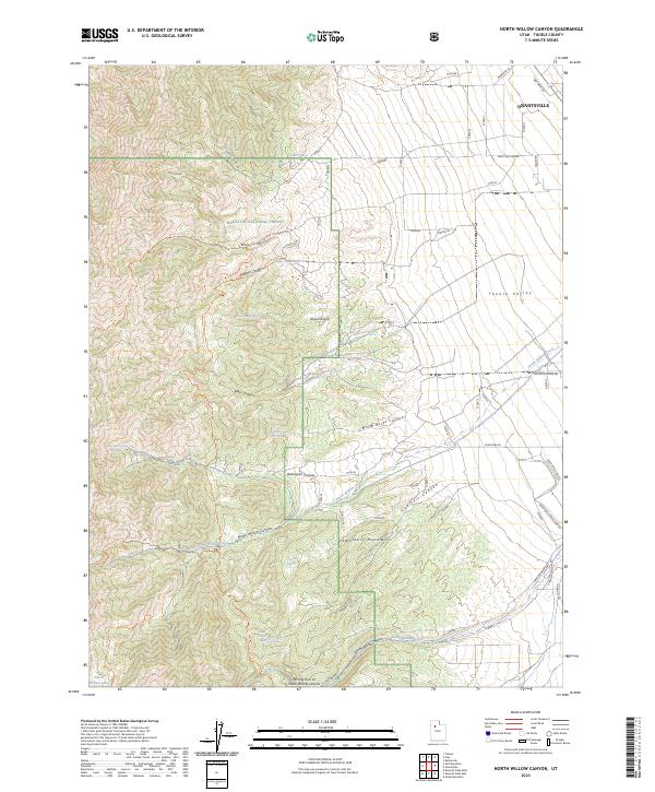 2023 North Willow Canyon2023 Print · USGSThe outskirts of Grantsville meet the high Stansbury Mountains in this recent survey. Local researchers can locate remote water sources like White Rock Spring and trace the Mining Fork of South Willow Canyon.
 - 2023 Map of Flux, 2023 Print
 2023 Flux2023 Print · USGSTooele County’s western corridor is captured in the modern era, where the desert valley meets the rising peaks of the Stansbury range. Researchers can trace historic transportation routes like the Old Lincoln Hwy and locate industrial points at Flux and Dolomite.
 - 2023 Map of Burmester, 2023 Print
 2023 Burmester2023 Print · USGSTooele County's wetlands and lakefront are captured here in the early twenty-first century, showing the intersection of industry and environment. Researchers can trace the layout of Burmester and the marshy expanses of Warm Springs Slough or Cooleys Slough.
 - 2023 Map of Tooele, 2023 Print
 2023 Tooele2023 Print · USGSThe Tooele Valley at the start of the 2020s shows a complex landscape of military history, aviation, and mountain-side settlement. Researchers can trace local roots at the Erda Pioneer Cem or study the footprint of the Tooele Army Depot.
 - 2023 Map of Grantsville, 2023 Print
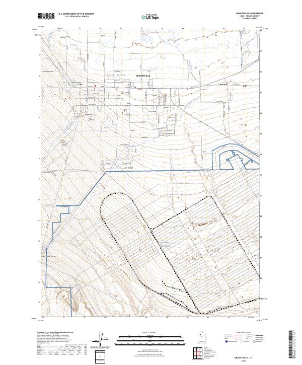 2023 Grantsville2023 Print · USGSTooele Valley at the start of the 2020s shows a landscape shaped by military infrastructure and historic transit routes. Researchers can trace the path of the Old Lincoln Hwy, locate graves at the Grantsville City Cem, and see the vast extent of the Tooele Army Depot.
End of results
Showing maps 1-25 of 25
Top cities near Grantsville
- Tooele historical maps
- Magna historical maps
- Stansbury Park historical maps
- Erda historical maps
- Lake Point historical maps
- Stockton historical maps
See more
Frequently asked questions
- What are the different types of historical maps available for Grantsville?
- What is the oldest map of Grantsville?
- Where can I purchase historical maps of Grantsville for my home or office?
- Where can I download high-res historical maps of Grantsville?
- Are there historical topographic maps available for Grantsville?
- Is there historical aerial imagery available for Grantsville?
- Where are historical maps of Grantsville sourced from?