Old Maps of Tooele, Utah
Explore 30 old maps of Tooele, spanning from 1885 to today. These high-resolution historic maps reveal how streets, neighborhoods, landmarks, and natural features evolved over time — perfect for genealogy, metal detecting, research, and local history exploration.
What you can do with these maps:
- See how Tooele changed over time: Compare historical maps to modern-day views to trace roads, homesites, rail lines & more.
- View detailed metadata: Each map includes creators, publishers, year, scale, and archive source.
- Overlay maps with satellite & LiDAR: Visualize the past alongside modern tools to explore terrain & human change.
- Trusted historical sources: Maps sourced from the USGS, Library of Congress, and other archives.
- Access maps your way: View online, download high-res files, or order prints for personal or research use.
Start exploring old maps of Tooele to uncover forgotten places, hidden landmarks, and the deep history beneath your feet.
Tooele, UT maps
(30)- 1885 Map of Tooele Valley
 1885 Tooele Valley1885 Print · USGSThe valleys and ranges west of the Wasatch are captured here in the mid-1880s, showcasing the early mining and rail infrastructure of the region. Genealogists can trace early settlements like Grantsville, Ophir, and Stockton, or the route of the Utah and Nevada R. R.6 unique versions available
 - 1915 Map of Fairfield, 1957 Print
 1915 Fairfield1957 Print · USGSThe Oquirrh Mountains and Cedar Valley come alive in this early twentieth-century survey of Utah's mining and military landscapes. Genealogists and historians can trace rail stops at Fairfield Sta, mining claims at Queen Mine, and the National Cemetery.
 - 1917 Map of Fairfield
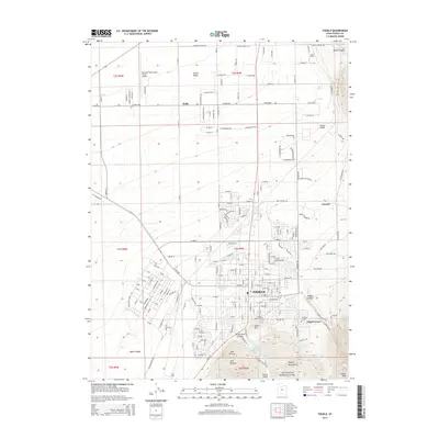
 1917 Fairfield1917 Print · USGSThe Oquirrh Mountains and Cedar Valley appear here just before the close of the first World War. Genealogists and industrial historians can trace the mining networks of Ophir, Mercur, and the Chloride Point Mine alongside the early Fairfield settlement.2 unique versions available
 - 1918 Map of Stockton
 1918 Stockton1918 Print · USGSTooele County mining and ranching culture are caught in detail just before the close of the Great War. Genealogists and historians can trace the rail lines connecting Stockton and Ophir, as well as named family properties like Bales Ranch and Johnson Ranch.4 unique versions available
 - 1953 Map of Tooele, 1968 Print
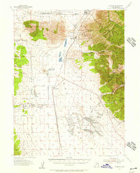
 1953 Tooele1968 Print · USGSTooele County is shown here in the 1950s, a vast landscape transitioning between the industrial growth of the Salt Lake Valley and isolated military testing grounds. Researchers can trace the routes of the Western Pacific railroad and locate historic outposts like Iosepa Ranch and St John Station.3 unique versions available
 - 1955 Map of Stockton, 1957 Print
 1955 Stockton1957 Print · USGSThe mining camps of the Oquirrh Mountains and the sprawling military installations of the Tooele Valley meet in this mid-century survey. Researchers can trace the rail-to-mine network connecting Stockton and Bauer to high-elevation sites like Ophir and the Shooting Star Mine.2 unique versions available
 - 1955 Map of Tooele, 1958 Print
 1955 Tooele1958 Print · USGSTooele County and the Great Salt Lake are captured here during the mid-fifties, an era of burgeoning military testing and industrial mining. Researchers can trace the rail sidings at Salduro Station, the grounds of the Deseret Chemical Corps Depot, and the International Smelting Co facilities.3 unique versions available
 - 1955 Map of Tooele, 1960 Print
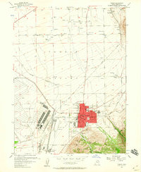 1955 Tooele1960 Print · USGSTooele was evolving into a significant military and industrial center in the mid-fifties, anchored by the massive Tooele Ordnance Depot. Local historians can trace the town's mid-century footprint, from the Drive-in Theater to the family-named Angels Grove and Warner Station.3 unique versions available
 - 1968 Map of Lowe Peak, 1971 Print
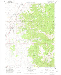
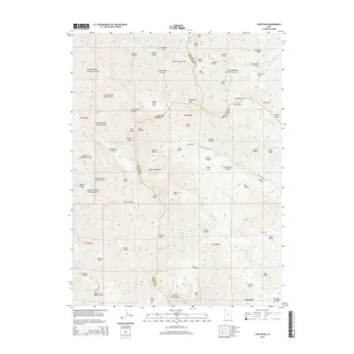
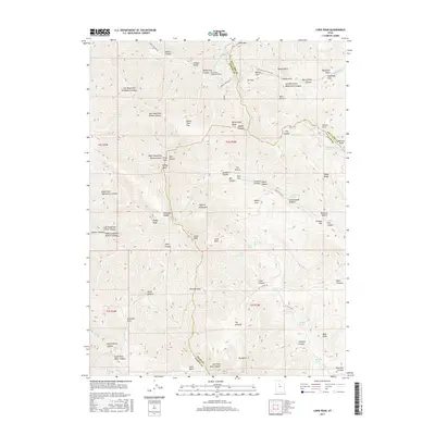
 1968 Lowe Peak1971 Print · USGSThe Oquirrh Mountains at the end of the sixties reveal a landscape defined by military boundaries and mining history. Trace the high-altitude Old Military Road or locate historical extraction sites like the Old Mayflower Mine and Queen Mine.
 - 1979 Map of Rush Valley
 1979 Rush Valley1979 Print · USGSTooele and Utah Counties during the late seventies reveal a unique transition from historic mining and ranching to modern military operations. Researchers can trace the Union Pacific Railroad past historic sites like Fairfield and mining camps such as Ophir.2 unique versions available
 - 1979 Map of Tooele, 1980 Print
 1979 Tooele1980 Print · USGSTooele and the eastern Oquirrh foothills appear here in the late seventies, showing a landscape defined by massive industrial works and military sites. Researchers can trace the rail corridors of the Western Pacific or locate the historic Monarch Mine and the vast Open Pit Mine near Bingham.
 - 1980 Map of Stockton
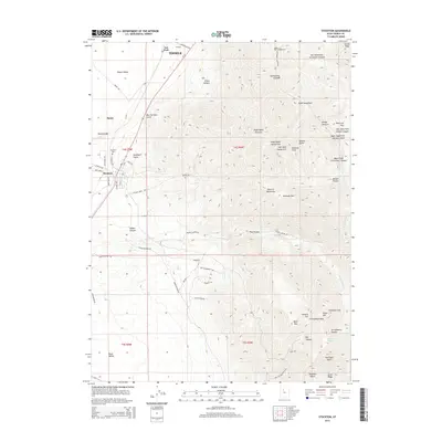
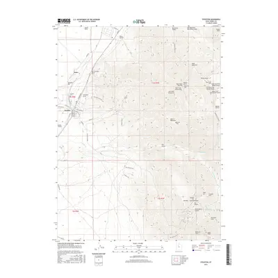
 1980 Stockton1980 Print · USGSThe northern Oquirrh Mountains near the turn of the 1980s show a landscape shaped by mining and military industry. Trace family history at Stockton, or locate high-country mining claims like the Calumet Mine and Hidden Treasure Mine.2 unique versions available
 - 1993 Map of Lowe Peak
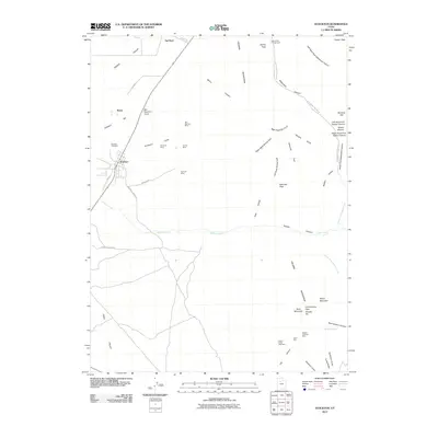
 1993 Lowe Peak1993 Print · USGSThe Oquirrh Mountains at the end of the twentieth century reveal a terrain shaped by mining and high-altitude geography. Genealogists and historians can trace old resource leads at the Queen Mine Prospects, locate the settlement of Ophir, and follow rugged trails through Piney Pass.
 - 1997 Map of Tooele, 2002 Print
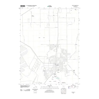
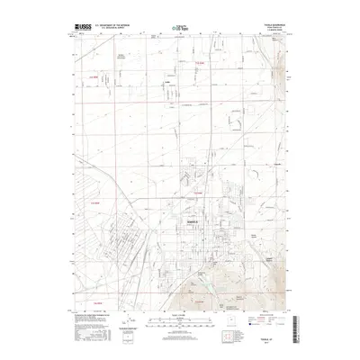
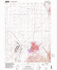 1997 Tooele2002 Print · USGSThe Tooele Valley at the close of the twentieth century shows a landscape defined by military industry and mountain-shadowed settlements. Trace local family history at the Tooele Cemetery, or locate old rail stops like Warner Station and Erda Siding.
 - 1997 Map of Lowe Peak, 2002 Print
 1997 Lowe Peak2002 Print · USGSThe Oquirrh Mountains at the turn of the millennium reveal a landscape of high summits and historical mining activity. Researchers can trace remote Pack Trails and locate evidence of past industry at Mine Ruins and Lowe Basin.
 - 2011 Map of Stockton, 2011 Print
 2011 Stockton2011 Print · USGSCovers Tooele, including Stockton, Bauer, and other nearby areas
 - 2011 Map of Lowe Peak, 2011 Print
 2011 Lowe Peak2011 Print · USGSCovers Tooele, including Cedar Fort, Salt Lake County, and other nearby areas
 - 2011 Map of Tooele, 2011 Print
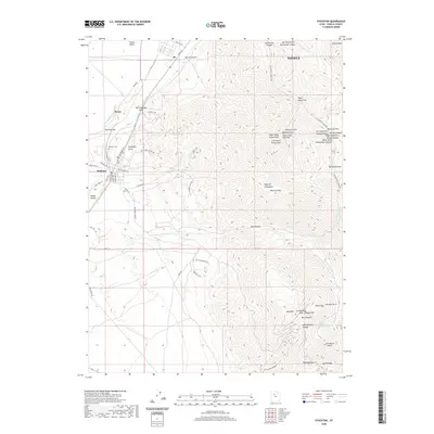
 2011 Tooele2011 Print · USGSCovers Tooele, including Grantsville, Erda, and other nearby areas
 - 2014 Map of Lowe Peak, 2014 Print
 2014 Lowe Peak2014 Print · USGSCovers Tooele, including Cedar Fort, Salt Lake County, and other nearby areas
 - 2014 Map of Tooele, 2014 Print
 2014 Tooele2014 Print · USGSCovers Tooele, including Grantsville, Erda, and other nearby areas
 - 2014 Map of Stockton, 2014 Print
 2014 Stockton2014 Print · USGSCovers Tooele, including Stockton, Bauer, and other nearby areas
 - 2017 Map of Stockton, 2017 Print
 2017 Stockton2017 Print · USGSCovers Tooele, including Stockton, Bauer, and other nearby areas
 - 2017 Map of Tooele, 2017 Print
 2017 Tooele2017 Print · USGSCovers Tooele, including Grantsville, Erda, and other nearby areas
 - 2017 Map of Lowe Peak, 2017 Print
 2017 Lowe Peak2017 Print · USGSCovers Tooele, including Cedar Fort, Salt Lake County, and other nearby areas
 - 2020 Map of Stockton, 2020 Print
 2020 Stockton2020 Print · USGSCovers Tooele, including Stockton, Bauer, and other nearby areas
Showing maps 1-25 of 30
Top cities near Tooele
- Salt Lake City historical maps
- West Valley City historical maps
- West Jordan historical maps
- South Jordan historical maps
- Eagle Mountain historical maps
- Herriman historical maps
See more
Top neighborhoods of Tooele
Frequently asked questions
- What are the different types of historical maps available for Tooele?
- What is the oldest map of Tooele?
- Where can I purchase historical maps of Tooele for my home or office?
- Where can I download high-res historical maps of Tooele?
- Are there historical topographic maps available for Tooele?
- Is there historical aerial imagery available for Tooele?
- Where are historical maps of Tooele sourced from?