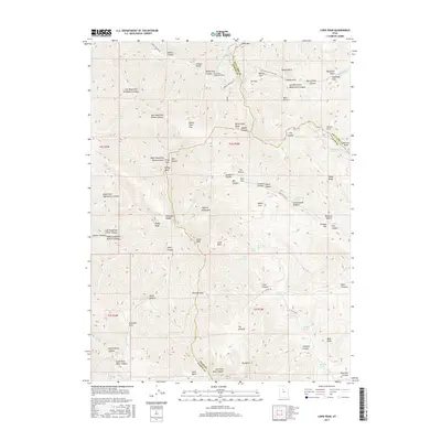
2017 Map of Lowe Peak
USGS Topo · Published 2017About this map
The Utah Metal Company Tunnel serves as a prominent reminder of the industrial legacy that shaped this high-elevation terrain where Tooele, Salt Lake, and Utah counties converge. This landscape is defined by a dense network of drainages and passes, most notably Butterfield Canyon and Middle Canyon, which historically provided vital transit routes through the Oquirrh Mountains. The presence of numerous named water sources such as Rattlesnake Spring, Cottonwood Spring, and Pollywog Spring suggests the importance of reliable water in this complex environment of steep ridges and deep gulches. Landforms like White Pine Flat and Sheep Ridge illustrate the diverse topography that challenged early surveyors and miners alike. Cultural imprints are visible in the naming of secondary forks and hollows, including Monkins Hollow and Farmers Flat, which likely reflect early local land use and family connections to the high-country landscape.
Find a feature on this map
81 named features on this map. Tap any name to fly to it.
Don’t see what you’re looking for? This feature index may not catch every label — zoom into the map to look around manually.
Map Details
Editions of this 2017 Lowe Peak Map
This is the sole edition of this map. No revisions or reprints were ever made.
Other maps of this area

1885 · Tooele Valley
USGS Topo · 1:250,000

1915 · Fairfield
USGS Topo · 1:62,500

1917 · Fairfield
USGS Topo · 1:62,500

1918 · Stockton
USGS Topo · 1:62,500

1952 · Bingham Canyon
USGS Topo · 1:24,000
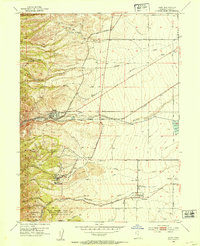
1952 · Lark
USGS Topo · 1:24,000

1953 · Tooele
USGS Topo · 1:250,000
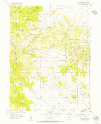
1954 · Tickville Spring
USGS Topo · 1:24,000

1955 · Stockton
USGS Topo · 1:62,500

1955 · Tooele
USGS Topo · 1:250,000