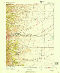
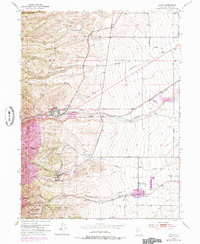
1952 Map of Lark
USGS Topo · Published 1954About this map
The Oquirrh Mountains define the western reaches of this Salt Lake County map, where industrial mining and agricultural settlements meet at the base of the range. The town of Lark is shown deeply integrated with mining operations, surrounded by the Mascotte Tunnel, Snyder Tunnel, and several deep gulches such as Copper Gulch. This early 1950s survey documents a landscape of heavy industry, featuring a massive Tailings Area and the Bingham Tunnel leading toward the copper works to the west.
Find a feature on this map
44 named features on this map. Tap any name to fly to it.
Don’t see what you’re looking for? This feature index may not catch every label — zoom into the map to look around manually.
Map Details
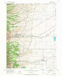
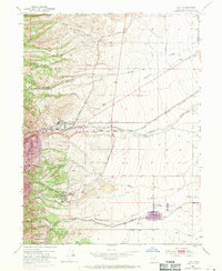
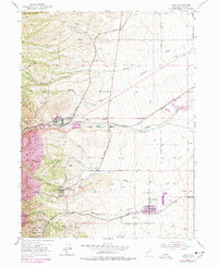
Editions of this 1952 Lark Map
5 editions found
Other maps of this area

1885 · Salt Lake
USGS Topo · 1:250,000

1885 · Tooele Valley
USGS Topo · 1:250,000

1915 · Fairfield
USGS Topo · 1:62,500

1917 · Fairfield
USGS Topo · 1:62,500

1925 · Ft. Douglas
USGS Topo · 1:125,000

1928 · Ft. Douglas
USGS Topo · 1:125,000

1951 · Jordan Narrows
USGS Topo · 1:24,000

1951 · Salt Lake City South
USGS Topo · 1:24,000

1951 · Midvale
USGS Topo · 1:24,000

1952 · Magna
USGS Topo · 1:24,000