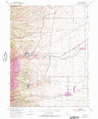
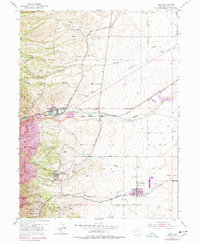
1952 Map of Lark
USGS Topo · Published 1985About this map
The industrial and agricultural landscape of Salt Lake County is defined by the heavy presence of mining and transit systems. The town of Copperton sits at the mouth of Bingham Canyon, serving as a residential hub for the operations that shaped the eastern foothills of the Oquirrh Mountains. Further south, the settlement of Lark is situated among a network of subterranean works, including the Bingham Tunnel and Mascotte Tunnel. The map records a transition from the intensive resource extraction evidenced by a massive Tailings Area and several gravel pits to the established farmlands around Herriman. This agrarian zone is supported by the Butterfield Creek drainage and an extensive network of ditches and levees. Transportation is anchored by the Denver and Rio Grande Western Railroad, which snakes through the terrain to connect these mountain work sites with the broader valley. Local heritage is preserved at sites like the Fort Herriman Historical Marker and the Bingham City Cemetery.
Find a feature on this map
54 named features on this map. Tap any name to fly to it.
Don’t see what you’re looking for? This feature index may not catch every label — zoom into the map to look around manually.
Map Details
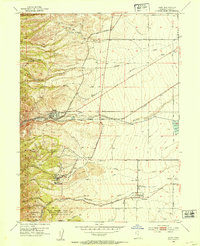
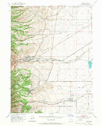
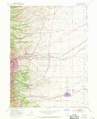
Editions of this 1952 Lark Map
5 editions found
Other maps of this area

1885 · Salt Lake
USGS Topo · 1:250,000

1885 · Tooele Valley
USGS Topo · 1:250,000

1915 · Fairfield
USGS Topo · 1:62,500

1917 · Fairfield
USGS Topo · 1:62,500

1925 · Ft. Douglas
USGS Topo · 1:125,000

1928 · Ft. Douglas
USGS Topo · 1:125,000

1951 · Jordan Narrows
USGS Topo · 1:24,000

1951 · Salt Lake City South
USGS Topo · 1:24,000

1951 · Midvale
USGS Topo · 1:24,000

1952 · Magna
USGS Topo · 1:24,000