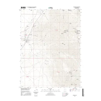
2017 Map of Stockton
USGS Topo · Published 2017About this map
The Oquirrh Mountains dominate the landscape east of the Tooele Valley, where the settlements of Stockton and Bauer sit near the distinctive Stockton Bar formation. This 2017 study illustrates a region deeply defined by its mining heritage, evidenced by the network of historical access routes such as the Southport Mining Rd, Calumet Mine Rd, and Dry Canyon Mining Rd. These paths wind through steep drainages like Ben Harrison Gulch and Southport Gulch, climbing toward high-altitude landmarks including Edwards Pass and Tooele Peak. The transition from valley floor to rugged peaks is marked by the Stockton Cem and numerous named canyons like Kelsey Canyon and Settlement Canyon. Hydrological features such as Soldier Cr and Buckhorn Spring provide vital water points in this arid environment, while the grid of modern streets in Stockton contrasts with the winding Atv TRL and Orv TRL tracks that serve today's backcountry users.
Find a feature on this map
67 named features on this map. Tap any name to fly to it.
Don’t see what you’re looking for? This feature index may not catch every label — zoom into the map to look around manually.
Map Details
Editions of this 2017 Stockton Map
This is the sole edition of this map. No revisions or reprints were ever made.
Other maps of this area

1885 · Tooele Valley
USGS Topo · 1:250,000

1915 · Fairfield
USGS Topo · 1:62,500

1917 · Fairfield
USGS Topo · 1:62,500

1918 · Stockton
USGS Topo · 1:62,500

1952 · Bingham Canyon
USGS Topo · 1:24,000

1953 · Tooele
USGS Topo · 1:250,000

1955 · Grantsville
USGS Topo · 1:24,000

1955 · Stockton
USGS Topo · 1:62,500

1955 · Tooele
USGS Topo · 1:250,000

1955 · Tooele
USGS Topo · 1:24,000