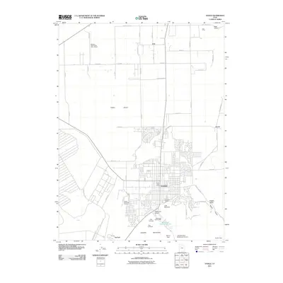
2011 Map of Tooele
USGS Topo · Published 2011About this map
Tooele and its surrounding valley are defined by a mix of early 21st-century residential expansion and critical water management infrastructure. To the south, the Oquirrh Mountains rise sharply, funneling runoff into Settlement Canyon Reservoir via the Settlement Canyon Dam. This geography creates a sharp transition from the residential grid of the town center to the open stretches of the Tooele Valley.
Find a feature on this map
63 named features on this map. Tap any name to fly to it.
Don’t see what you’re looking for? This feature index may not catch every label — zoom into the map to look around manually.
Map Details
Editions of this 2011 Tooele Map
This is the sole edition of this map. No revisions or reprints were ever made.
Other maps of this area

1885 · Tooele Valley
USGS Topo · 1:250,000

1915 · Fairfield
USGS Topo · 1:62,500

1917 · Fairfield
USGS Topo · 1:62,500

1918 · Stockton
USGS Topo · 1:62,500

1952 · Bingham Canyon
USGS Topo · 1:24,000

1952 · Garfield
USGS Topo · 1:24,000

1953 · Tooele
USGS Topo · 1:250,000

1955 · Mills Junction
USGS Topo · 1:24,000

1955 · Burmester
USGS Topo · 1:24,000

1955 · Grantsville
USGS Topo · 1:24,000