Old Maps of Kyune, Utah for Academic Research
Study the evolution of Kyune with 13 high-resolution historic maps. Whether you're teaching, researching, or modeling changes in land use, these maps provide essential visual documentation of urban, environmental, and geographic change.
- Analyze long-term change: Track patterns in development, transportation, and natural features.
- Ideal for environmental or urban studies: Support academic projects with primary historical map data.
- Use in the classroom or lab: Educators and researchers rely on these maps to bring historical context to life.
These maps are a powerful tool for teaching, research, and visualizing how Kyune has changed over the decades.
Kyune, UT maps
(13)- 1886 Map of Price River
 1886 Price River1886 Print · USGSEmery County and the surrounding canyonlands are documented here just as the railroad arrived in the mid-1880s. Local researchers can trace the early path of the Denver and Rio Grande Western R. R. through Castle Gate, Price, and Sunny Side.4 unique versions available
 - 1896 Map of Price River
 1896 Price River1896 Print · USGSEmery County was transitioning into a vital rail corridor during the late nineteenth century. Trace the early layout of Price and Castle Dale alongside the winding Denver and Rio Grande Western RR and the depths of Desolation Canyon.
 - 1956 Map of Price, 1968 Print
 1956 Price1968 Print · USGSCentral Utah in the mid-fifties showcases a landscape shaped by coal mining and mountain-fed irrigation. Trace the rail-and-river economy through the Geneva Coal Mine, the Union Pacific line, and settlements like Price and Ephraim.3 unique versions available
 - 1960 Map of Price
 1960 Price1960 Print · USGSCentral Utah in the late fifties was a landscape of coal-hauling railroads and high plateau settlements. Genealogists and local historians can trace the rail-to-river economy from Price to the mountain mining camps of Hiawatha, Dragerton, and Sunnyside.2 unique versions available
 - 1962 Map of Price
 1962 Price1962 Print · USGSCentral Utah during the early sixties shows a landscape balancing high-mountain forestry with valley agriculture and coal mining. Genealogists and historians can trace the Denver and Rio Grande Western rail lines through industrial hubs like Price or locate formerly active sites like Coal City (abandoned).
 - 1969 Map of Kyune, 1971 Print
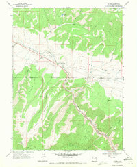 1969 Kyune1971 Print · USGSThe industrial corridor of Carbon County is captured here in the late sixties, where the railroad and river define the landscape. Local historians can trace the Denver and Rio Grande Western line past the settlement of Kyune and locate old Mines and Gravel Pits tucked into the canyons.2 unique versions available
 - 1980 Map of Price, 1987 Print
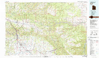 1980 Price1987 Print · USGSCarbon County in the early 1980s is defined by its deep canyons and intensive coal operations. Researchers can trace the rail spurs and mining works of the Denver and Rio Grande Western Railroad that connect Price, Helper, and the Sunnyside Mine.3 unique versions available
 - 1996 Map of Kyune, 1999 Print
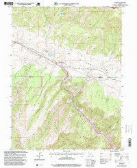 1996 Kyune1999 Print · USGSKyune and the surrounding canyons of Carbon County are captured here during the late nineties as a hub of mountain transport and industry. Researchers can trace the Denver & Rio Grande Western RR route, locate local Mines, and explore the high Beaver Ridge.
 - 2011 Map of Kyune, 2011 Print
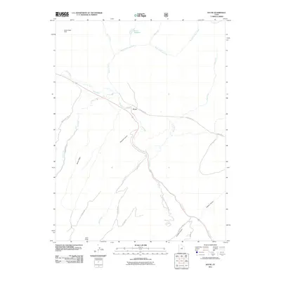 2011 Kyune2011 Print · USGSCovers Kyune, including Utah County, Carbon County, and other nearby areas
 - 2014 Map of Kyune, 2014 Print
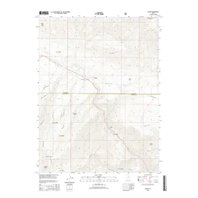 2014 Kyune2014 Print · USGSCovers Kyune, including Utah County, Carbon County, and other nearby areas
 - 2017 Map of Kyune, 2017 Print
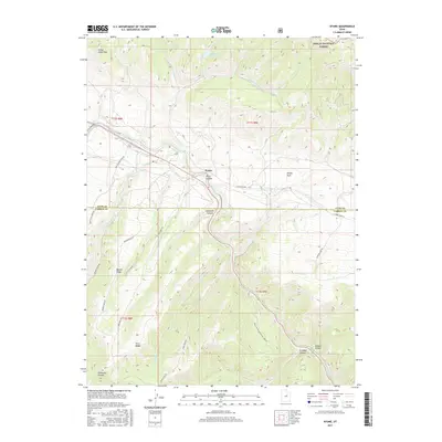 2017 Kyune2017 Print · USGSCovers Kyune, including Utah County, Carbon County, and other nearby areas
 - 2020 Map of Kyune, 2020 Print
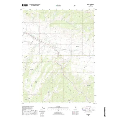 2020 Kyune2020 Print · USGSCovers Kyune, including Utah County, Carbon County, and other nearby areas
 - 2023 Map of Kyune, 2023 Print
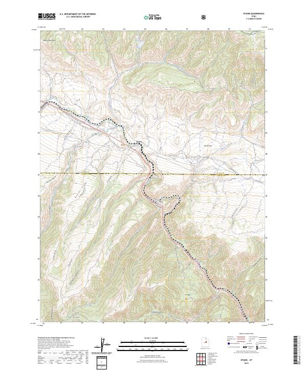 2023 Kyune2023 Print · USGSThe high canyons and ridges of the Utah and Carbon county border are captured here in the early twenty-first century. Researchers can trace the rugged transition from Emma Park down through the deep corridors of Price Canyon and Crandall Canyon.
End of results
Showing maps 1-13 of 13
Top cities near Kyune
Frequently asked questions
- What are the different types of historical maps available for Kyune?
- What is the oldest map of Kyune?
- Where can I purchase historical maps of Kyune for my home or office?
- Where can I download high-res historical maps of Kyune?
- Are there historical topographic maps available for Kyune?
- Is there historical aerial imagery available for Kyune?
- Where are historical maps of Kyune sourced from?