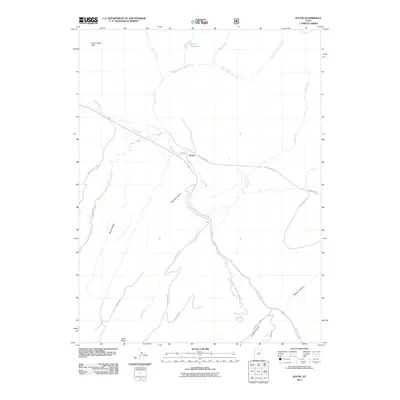
2011 Map of Kyune
USGS Topo · Published 2011About this map
Kyune serves as a focal point along the winding course of the Price River, where the high desert terrain of Utah County transitions into deep drainages. The landscape is defined by the significant elevation changes between Indian Head Peak and the numerous canyons that carve through the plateau, including Diamanti Canyon and Crandall Canyon. Water management is central to the area's geography, anchored by the Kyune Reservoir and a network of seasonal flows like Kyune Creek and Beaver Creek.
Find a feature on this map
26 named features on this map. Tap any name to fly to it.
Don’t see what you’re looking for? This feature index may not catch every label — zoom into the map to look around manually.
Map Details
Editions of this 2011 Kyune Map
This is the sole edition of this map. No revisions or reprints were ever made.
Other maps of this area
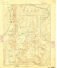
1885 · Manti
USGS Topo · 1:250,000
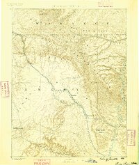
1886 · Price River
USGS Topo · 1:250,000
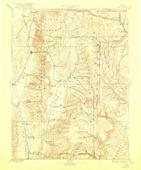
1895 · Manti
USGS Topo · 1:250,000
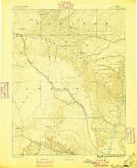
1896 · Price River
USGS Topo · 1:250,000
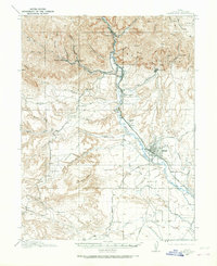
1914 · Castle Gate
USGS Topo · 1:62,500
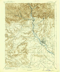
1916 · Castle Gate
USGS Topo · 1:62,500
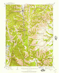
1923 · Scofield
USGS Topo · 1:62,500
1925 · Scofield
USGS Topo · 1:62,500
1939 · Soldier Summit
USGS Topo · 1:62,500
1942 · Soldier Summit
USGS Topo · 1:62,500