
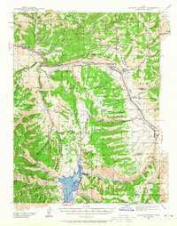
1939 Map of Soldier Summit
USGS Topo · Published 1958About this map
The Colorado River Basin Watershed Divide cuts through this high-altitude landscape, separating the rugged mountain terrain of the Uinta National Forest and Wasatch National Forest. At the heart of the region sits Soldier Summit, a critical mountain pass where the Denver and Rio Grande Western Railroad navigates steep grades alongside U S 50. This transportation corridor was vital for moving resources through the mountains, connecting small settlements and industrial outposts.
Find a feature on this map
65 named features on this map. Tap any name to fly to it.
Don’t see what you’re looking for? This feature index may not catch every label — zoom into the map to look around manually.
Map Details
Editions of this 1939 Soldier Summit Map
3 editions found
Other maps of this area

1885 · Salt Lake
USGS Topo · 1:250,000

1885 · Manti
USGS Topo · 1:250,000

1885 · Uinta
USGS Topo · 1:250,000

1886 · Price River
USGS Topo · 1:250,000

1895 · Manti
USGS Topo · 1:250,000

1896 · Price River
USGS Topo · 1:250,000

1907 · Strawberry Valley
USGS Topo · 1:125,000

1909 · Strawberry Valley
USGS Topo · 1:125,000

1914 · Castle Gate
USGS Topo · 1:62,500

1916 · Castle Gate
USGS Topo · 1:62,500