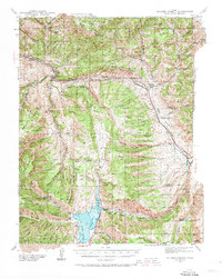
1939 Map of Soldier Summit
USGS Topo · Published 1973About this map
The Denver and Rio Grande Western Railroad serves as the industrial spine of this mountain pass, winding along Soldier Creek through a landscape defined by the high Wasatch Mountains. The settlement of Soldier Summit marks the critical divide between the Colorado River and Great Basin watersheds, a key point of transition for steam-era rail operations. To the south, the Scofield Reservoir dominates the drainage of the Price River system, while family-held landholdings like Daniels Ranch and Coddington Ranch appear alongside the rugged high-country terrain.
Find a feature on this map
63 named features on this map. Tap any name to fly to it.
Don’t see what you’re looking for? This feature index may not catch every label — zoom into the map to look around manually.
Map Details
Editions of this 1939 Soldier Summit Map
3 editions found

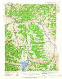
Other maps of this area

1885 · Salt Lake
USGS Topo · 1:250,000

1885 · Manti
USGS Topo · 1:250,000

1885 · Uinta
USGS Topo · 1:250,000

1886 · Price River
USGS Topo · 1:250,000

1895 · Manti
USGS Topo · 1:250,000

1896 · Price River
USGS Topo · 1:250,000

1907 · Strawberry Valley
USGS Topo · 1:125,000

1909 · Strawberry Valley
USGS Topo · 1:125,000

1914 · Castle Gate
USGS Topo · 1:62,500

1916 · Castle Gate
USGS Topo · 1:62,500