2000s (21st Century) Maps of Provo, Utah
Explore 20 historic maps of Provo from the 2000s (21st Century). These maps offer a rare glimpse into what life looked like during the 2000s — showing old roads, neighborhoods, homes, and landmarks that have changed or disappeared over time.
Whether you're researching your family's past, planning a metal detecting trip, or studying how Provo's landscape evolved across the 2000s, these high-resolution maps are a powerful tool for exploring the history of this region.
- Focus on a specific era: All maps on this page are from the 2000s, giving you a focused view of this time period.
- See what’s changed: Compare century-old streets, trails, and buildings to today's modern landscape using overlays and satellite layers.
- Research with precision: Use these maps for genealogy, historical research, land use analysis, or educational projects.
- View, download, or print: Maps are fully viewable online in high resolution, and can be downloaded or printed for your own records.
Start exploring Provo's history through authentic maps from the 2000s. This is your window into the past.
Provo, UT maps
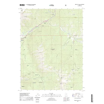
(20)- 2011 Map of Bridal Veil Falls, 2011 Print
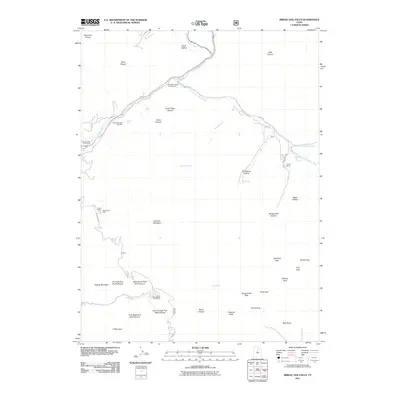 2011 Bridal Veil Falls2011 Print · USGSCovers Provo, including Canyon Glen, Wildwood, and other nearby areas
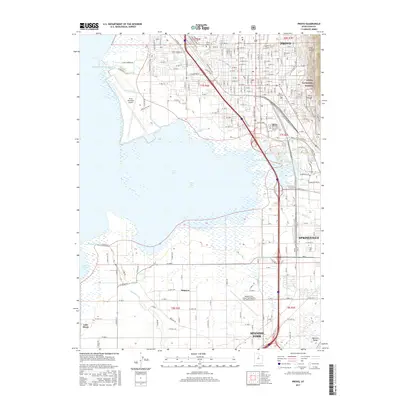
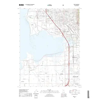
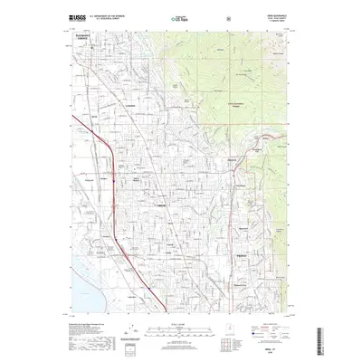
 - 2011 Map of Orem, 2011 Print
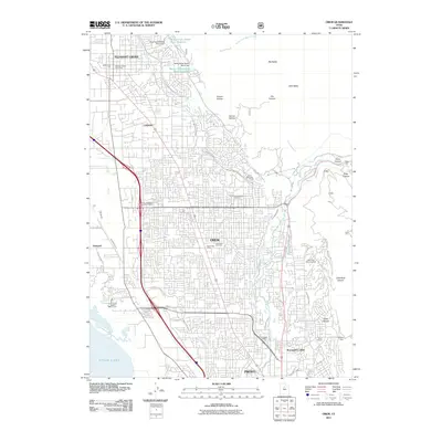 2011 Orem2011 Print · USGSCovers Provo, including Orem, Pleasant Grove, and other nearby areas
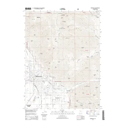
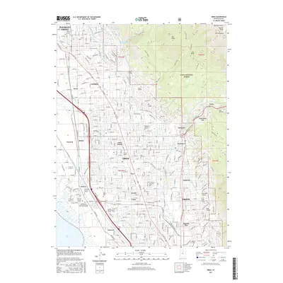
 - 2011 Map of Provo, 2011 Print
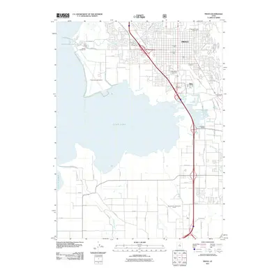 2011 Provo2011 Print · USGSCovers Provo, including Spanish Fork, Springville, and other nearby areas
 - 2011 Map of Springville, 2011 Print
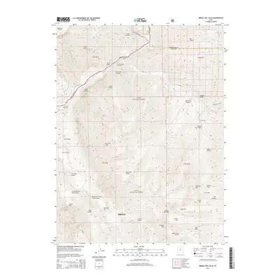
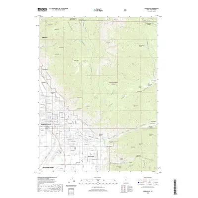
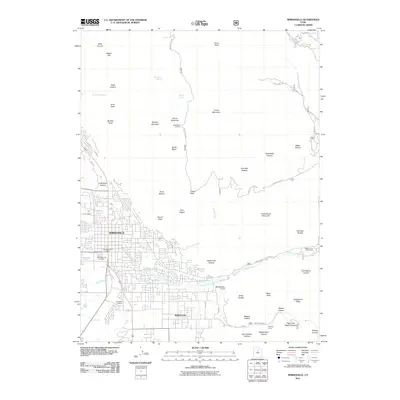 2011 Springville2011 Print · USGSCovers Provo, including Spanish Fork, Springville, and other nearby areas
 - 2014 Map of Springville, 2014 Print
 2014 Springville2014 Print · USGSCovers Provo, including Spanish Fork, Springville, and other nearby areas
 - 2014 Map of Orem, 2014 Print
 2014 Orem2014 Print · USGSCovers Provo, including Orem, Pleasant Grove, and other nearby areas
 - 2014 Map of Bridal Veil Falls, 2014 Print
 2014 Bridal Veil Falls2014 Print · USGSCovers Provo, including Canyon Glen, Wildwood, and other nearby areas
 - 2014 Map of Provo, 2014 Print
 2014 Provo2014 Print · USGSCovers Provo, including Spanish Fork, Springville, and other nearby areas
 - 2017 Map of Bridal Veil Falls, 2017 Print
 2017 Bridal Veil Falls2017 Print · USGSCovers Provo, including Canyon Glen, Wildwood, and other nearby areas
 - 2017 Map of Orem, 2017 Print
 2017 Orem2017 Print · USGSCovers Provo, including Orem, Pleasant Grove, and other nearby areas
 - 2017 Map of Springville, 2017 Print
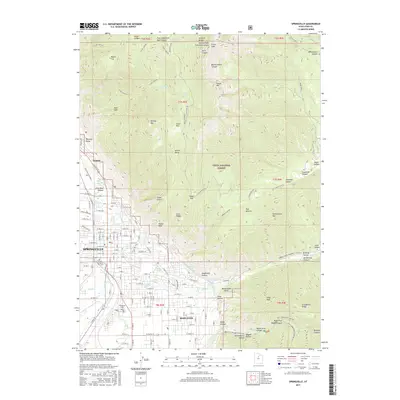 2017 Springville2017 Print · USGSCovers Provo, including Spanish Fork, Springville, and other nearby areas
 - 2017 Map of Provo, 2017 Print
 2017 Provo2017 Print · USGSCovers Provo, including Spanish Fork, Springville, and other nearby areas
 - 2020 Map of Provo, 2020 Print
 2020 Provo2020 Print · USGSCovers Provo, including Spanish Fork, Springville, and other nearby areas
 - 2020 Map of Bridal Veil Falls, 2020 Print
 2020 Bridal Veil Falls2020 Print · USGSCovers Provo, including Canyon Glen, Wildwood, and other nearby areas
 - 2020 Map of Orem, 2020 Print
 2020 Orem2020 Print · USGSCovers Provo, including Orem, Pleasant Grove, and other nearby areas
 - 2020 Map of Springville, 2020 Print
 2020 Springville2020 Print · USGSCovers Provo, including Spanish Fork, Springville, and other nearby areas
 - 2023 Map of Springville, 2023 Print
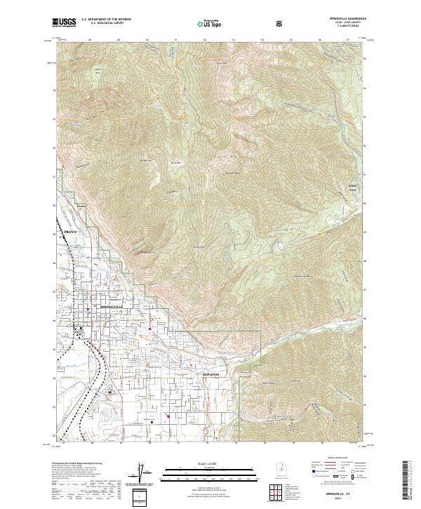 2023 Springville2023 Print · USGSThe Utah Valley meets the towering peaks of the Wasatch Range in this modern survey of the growing Wasatch Front. Researchers can trace local heritage through the Springville City Cem or follow the Bonneville Shoreline Trl as it winds past Buckley Mtn.
 - 2023 Map of Provo, 2023 Print
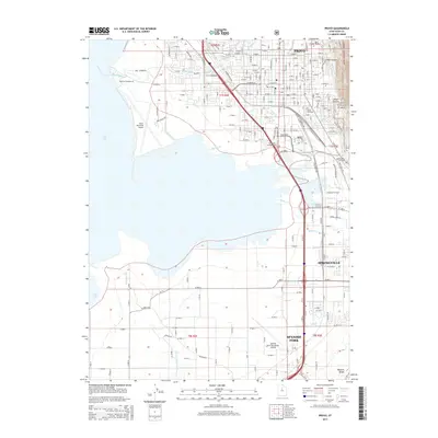
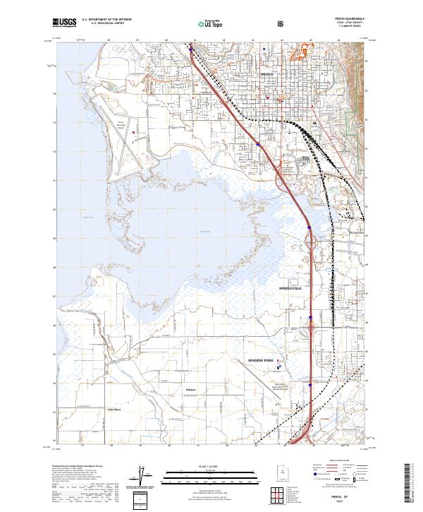 2023 Provo2023 Print · USGSThe eastern edge of Utah Lake in the early 2020s reveals a bustling corridor of urban growth and aviation. Researchers can trace the development of PROVO and SPRINGVILLE alongside historic sites like the Utah County Court House and the Provo City Cem.
 - 2023 Map of Orem, 2023 Print
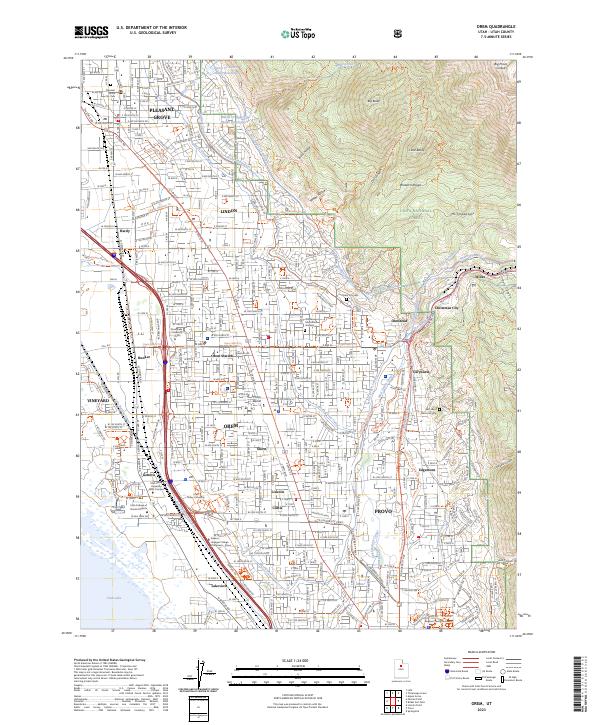 2023 Orem2023 Print · USGSThe eastern shore of Utah Lake meets the Wasatch Range in this modern survey of the growing Utah Valley corridor. Researchers can trace the development of established communities like Orem and Lindon alongside local landmarks like Orem Station and East Lawn Memorial Hills.
 - 2023 Map of Bridal Veil Falls, 2023 Print
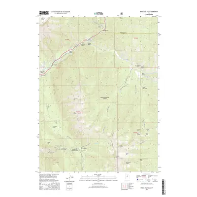
 2023 Bridal Veil Falls2023 Print · USGSProvo Canyon and the Wasatch peaks are captured here in the early twenty-first century as modern trails and water infrastructure meet the wild mountain terrain. Trace local landmarks from Wildwood and Vivian Park up to the high summits of Mt Timpanogos and Kyhv Peak.
End of results
Showing maps 1-20 of 20
Top cities near Provo
- Orem historical maps
- Lehi historical maps
- Saratoga Springs historical maps
- Draper historical maps
- Spanish Fork historical maps
- Pleasant Grove historical maps
See more
Top neighborhoods of Provo
- Edgemont historical maps
- Pleasant View historical maps
- Caryhurst historical maps
- Lakeview historical maps
- North Timpview historical maps
- Provost historical maps
See more
Frequently asked questions
- What are the different types of historical maps available for Provo?
- What is the oldest map of Provo?
- Where can I purchase historical maps of Provo for my home or office?
- Where can I download high-res historical maps of Provo?
- Are there historical topographic maps available for Provo?
- Is there historical aerial imagery available for Provo?
- Where are historical maps of Provo sourced from?