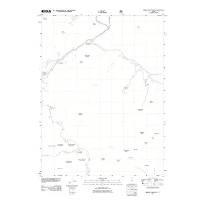
2011 Map of Bridal Veil Falls
USGS Topo · Published 2011About this map
The Provo River carves through a landscape defined by dramatic elevation changes and recreational access in the shadow of the Wasatch Range. The drainage of the South Fork Provo River meets the main stem near Trefoil Ranch, creating a network of canyons including Shingle Mill Canyon and Bunnells Fork. This area, central to Utah County's outdoor history, is anchored by the iconic Bridal Veil Falls and the Bridal Veil Falls Sky Ride, which highlight the development of the canyon for tourism.
Find a feature on this map
51 named features on this map. Tap any name to fly to it.
Don’t see what you’re looking for? This feature index may not catch every label — zoom into the map to look around manually.
Map Details
Editions of this 2011 Bridal Veil Falls Map
This is the sole edition of this map. No revisions or reprints were ever made.
Other maps of this area

1885 · Salt Lake
USGS Topo · 1:250,000

1907 · Strawberry Valley
USGS Topo · 1:125,000

1909 · Strawberry Valley
USGS Topo · 1:125,000

1948 · Timpanogos Cave
USGS Topo · 1:24,000

1948 · Orem
USGS Topo · 1:24,000

1948 · Orem
USGS Topo · 1:62,500

1948 · Springville
USGS Topo · 1:24,000

1948 · Aspen Grove
USGS Topo · 1:24,000

1948 · Provo
USGS Topo · 1:24,000

1948 · Bridal Veil Falls
USGS Topo · 1:24,000