2000s (21st Century) Maps of Santa Clara, Utah
Explore 10 historic maps of Santa Clara from the 2000s (21st Century). These maps offer a rare glimpse into what life looked like during the 2000s — showing old roads, neighborhoods, homes, and landmarks that have changed or disappeared over time.
Whether you're researching your family's past, planning a metal detecting trip, or studying how Santa Clara's landscape evolved across the 2000s, these high-resolution maps are a powerful tool for exploring the history of this region.
- Focus on a specific era: All maps on this page are from the 2000s, giving you a focused view of this time period.
- See what’s changed: Compare century-old streets, trails, and buildings to today's modern landscape using overlays and satellite layers.
- Research with precision: Use these maps for genealogy, historical research, land use analysis, or educational projects.
- View, download, or print: Maps are fully viewable online in high resolution, and can be downloaded or printed for your own records.
Start exploring Santa Clara's history through authentic maps from the 2000s. This is your window into the past.
Santa Clara, UT maps
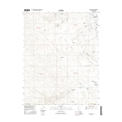
(10)- 2011 Map of White Hills, 2011 Print
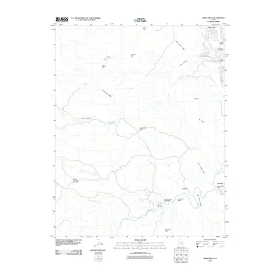 2011 White Hills2011 Print · USGSCovers Santa Clara, including St. George, Mohave County, and other nearby areas
 - 2011 Map of Santa Clara, 2011 Print
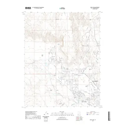
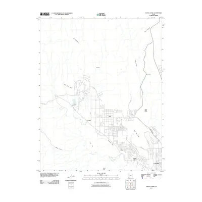 2011 Santa Clara2011 Print · USGSCovers Santa Clara, including St. George, Ivins, and other nearby areas
 - 2014 Map of White Hills, 2014 Print
 2014 White Hills2014 Print · USGSCovers Santa Clara, including St. George, Mohave County, and other nearby areas
 - 2014 Map of Santa Clara, 2014 Print
 2014 Santa Clara2014 Print · USGSCovers Santa Clara, including St. George, Ivins, and other nearby areas
 - 2017 Map of Santa Clara, 2017 Print
 2017 Santa Clara2017 Print · USGSCovers Santa Clara, including St. George, Ivins, and other nearby areas
 - 2017 Map of White Hills, 2017 Print
 2017 White Hills2017 Print · USGSCovers Santa Clara, including St. George, Mohave County, and other nearby areas
 - 2020 Map of Santa Clara, 2020 Print
 2020 Santa Clara2020 Print · USGSCovers Santa Clara, including St. George, Ivins, and other nearby areas
 - 2020 Map of White Hills, 2020 Print
 2020 White Hills2020 Print · USGSCovers Santa Clara, including St. George, Mohave County, and other nearby areas
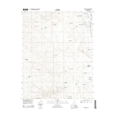
 - 2023 Map of White Hills, 2023 Print
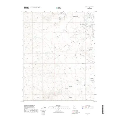
 2023 White Hills2023 Print · USGSThe outskirts of Santa Clara and St. George come into focus in 2023 as residential growth meets the Mojave Desert. Researchers can trace the legacy of regional water systems through the Santa Clara Saint-George Canal and locate the historic site of Atkinville near the Virgin River.
 - 2023 Map of Santa Clara, 2023 Print
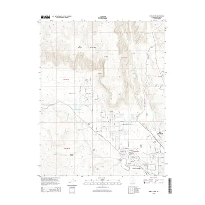
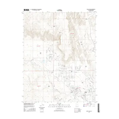
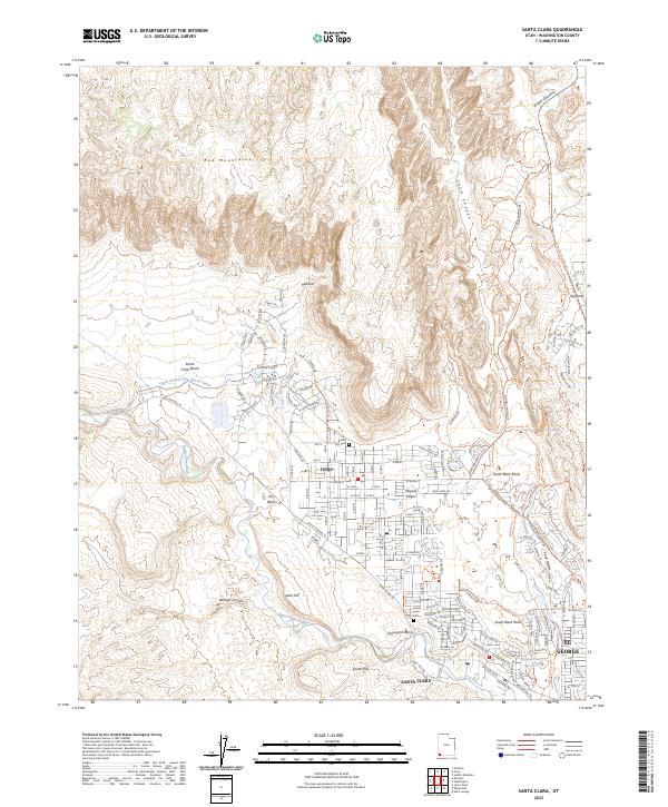 2023 Santa Clara2023 Print · USGSSanta Clara and Ivins are captured here at a moment of modern growth against a desert backdrop. Researchers can locate family heritage sites like Santa Clara Cem or trace the essential water routes of the Upper Santa Clara Bench Canal and the Santa Clara River.
End of results
Showing maps 1-10 of 10
Top cities near Santa Clara
- St. George historical maps
- Washington historical maps
- Hurricane historical maps
- Ivins historical maps
- Diamond Valley historical maps
- Veyo historical maps
Top neighborhoods of Santa Clara
Frequently asked questions
- What are the different types of historical maps available for Santa Clara?
- What is the oldest map of Santa Clara?
- Where can I purchase historical maps of Santa Clara for my home or office?
- Where can I download high-res historical maps of Santa Clara?
- Are there historical topographic maps available for Santa Clara?
- Is there historical aerial imagery available for Santa Clara?
- Where are historical maps of Santa Clara sourced from?