Old Maps of Santa Clara, Utah for Hiking & Exploration
Hike through history with 21 historic maps of Santa Clara. Explore old trails, ghost towns, and forgotten backroads — perfect for outdoor adventurers and local explorers.
- Rediscover forgotten places: Map out old mining camps, roads, and footpaths that no longer exist on modern maps.
- Layer with modern tools: Combine with LiDAR or satellite views to plan hikes through historical terrain.
- Made for exploration: Popular among hikers, overlanders, and local history lovers.
Use these maps to find adventure and explore the hidden past of Santa Clara.
Santa Clara, UT maps
(21)- 1885 Map of St. George
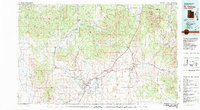
 1885 St. George1885 Print · USGSSouthern Utah’s high deserts and river valleys are captured here during the mid-1880s, an era of mining expansion and early settlement. Researchers can trace the layout of pioneer towns like Silver Reef, Virgin City, and the historic site of Mountain Meadows.
 - 1891 Map of St. George
 1891 St. George1891 Print · USGSSouthwestern Utah in the early 1890s was a landscape of pioneer outposts and mining ventures at the edge of the Escalante Desert. Genealogists and historians can trace the early footprints of St George, the mining camp at Silver Reef, and the now-quiet site of Iron City.4 unique versions available
 - 1953 Map of Cedar City, 1966 Print
 1953 Cedar City1966 Print · USGSSouthwestern Utah's high plateaus and desert basins are mapped here during the mid-fifties, showing the region before the modern interstate system. Researchers can trace historic mining at Silver Reef, follow the Union Pacific line, and locate early settlements like Kanarraville and Toquerville.3 unique versions available
 - 1954 Map of St. George, 1958 Print
 1954 St. George1958 Print · USGSSouthern Utah in the mid-fifties reveals a network of emerging towns and established agriculture along the Virgin River. Researchers can locate the iconic Temple, the historic Toniquint site, and family heritage sites like the Santa Clara Cemetery.4 unique versions available
 - 1956 Map of St. George NW
 1956 St. George NW1956 Print · USGSSouthwestern Utah in the mid-1950s reveals a landscape of irrigation and indigenous lands west of St. George. You can trace the water systems of the Ivins Reservoir and Canal or locate the community Cemetery near Santa Clara.
 - 1956 Map of St. George SW
 1956 St. George SW1956 Print · USGSWashington County, Utah, was a landscape of remote ranching grounds and critical river irrigation in the mid-1950s. Genealogists and local historians can trace the settlement of Atkinsville and land features like Blakes Laming Ground or the Shivwits Indian Reservation.
 - 1958 Map of Cedar City
 1958 Cedar City1958 Print · USGSSouthwestern Utah in the late fifties was a land of mineral extraction and monumental landscapes. Genealogists and historians can trace pioneer-era settlements like Grafton and Parowan alongside industrial sites such as the Silver Reef Mine.2 unique versions available
 - 1962 Map of Cedar City
 1962 Cedar City1962 Print · USGSSouthern Utah in the early sixties showcases a landscape of dramatic plateaus and historic mining outposts. Trace the early settlement patterns at the Silver Reef (ruins), locate the Iron Mine near the Hurricane Cliffs, or find the Fort Harmony Monument.
 - 1980 Map of St. George, 1981 Print
 1980 St. George1981 Print · USGSThe St. George region underwent significant expansion in the early eighties as ranching traditions met new modern development. Researchers can trace the heritage of the Virgin River valley through sites like Grafton, the Apex Mine, and Snow Canyon State Park.2 unique versions available
 - 1986 Map of White Hills, 1987 Print
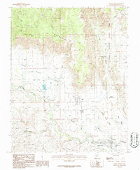
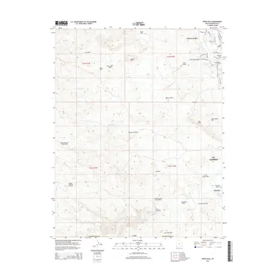
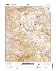
 1986 White Hills1987 Print · USGSThe high desert along the Utah-Arizona border comes into focus in the mid-1980s as suburban boundaries meet traditional ranching lands. Genealogists and local historians can trace the paths between Santa Clara and Atkinville, or locate landmarks like Blakes Lambing Grounds and the Curly Hollow Reservoir.2 unique versions available
 - 1986 Map of Santa Clara, 1987 Print
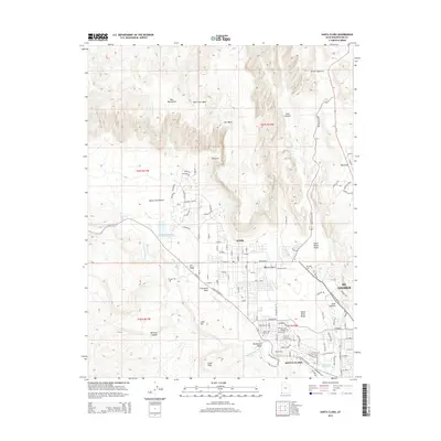
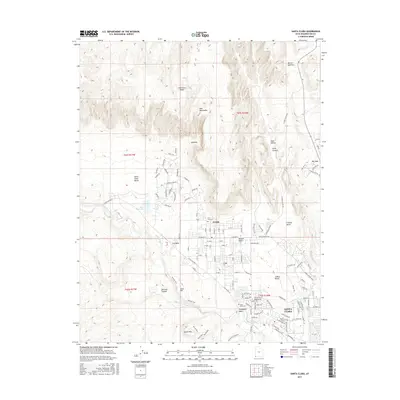
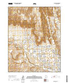
 1986 Santa Clara1987 Print · USGSSouthern Utah's desert landscape comes alive in the mid-1980s, documenting the growth of settlements like Ivins and Santa Clara. Researchers can trace the volcanic terrain of Snow Canyon State Park or find family landmarks like Wittwer Canyon and the local Graveyard.
 - 2011 Map of White Hills, 2011 Print
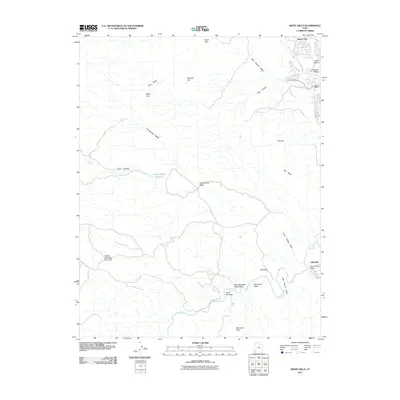 2011 White Hills2011 Print · USGSCovers Santa Clara, including St. George, Mohave County, and other nearby areas
 - 2011 Map of Santa Clara, 2011 Print
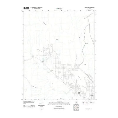 2011 Santa Clara2011 Print · USGSCovers Santa Clara, including St. George, Ivins, and other nearby areas
 - 2014 Map of White Hills, 2014 Print
 2014 White Hills2014 Print · USGSCovers Santa Clara, including St. George, Mohave County, and other nearby areas
 - 2014 Map of Santa Clara, 2014 Print
 2014 Santa Clara2014 Print · USGSCovers Santa Clara, including St. George, Ivins, and other nearby areas
 - 2017 Map of Santa Clara, 2017 Print
 2017 Santa Clara2017 Print · USGSCovers Santa Clara, including St. George, Ivins, and other nearby areas
 - 2017 Map of White Hills, 2017 Print
 2017 White Hills2017 Print · USGSCovers Santa Clara, including St. George, Mohave County, and other nearby areas
 - 2020 Map of Santa Clara, 2020 Print
 2020 Santa Clara2020 Print · USGSCovers Santa Clara, including St. George, Ivins, and other nearby areas
 - 2020 Map of White Hills, 2020 Print
 2020 White Hills2020 Print · USGSCovers Santa Clara, including St. George, Mohave County, and other nearby areas
 - 2023 Map of White Hills, 2023 Print
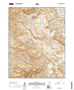
 2023 White Hills2023 Print · USGSThe outskirts of Santa Clara and St. George come into focus in 2023 as residential growth meets the Mojave Desert. Researchers can trace the legacy of regional water systems through the Santa Clara Saint-George Canal and locate the historic site of Atkinville near the Virgin River.
 - 2023 Map of Santa Clara, 2023 Print
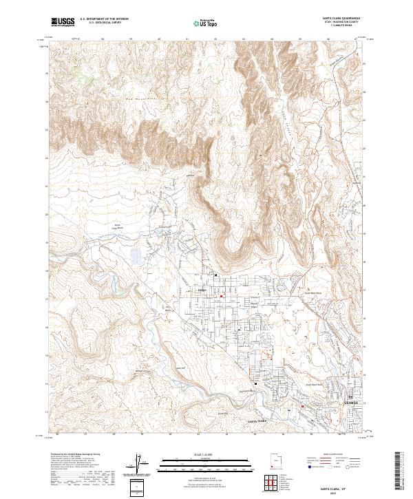 2023 Santa Clara2023 Print · USGSSanta Clara and Ivins are captured here at a moment of modern growth against a desert backdrop. Researchers can locate family heritage sites like Santa Clara Cem or trace the essential water routes of the Upper Santa Clara Bench Canal and the Santa Clara River.
End of results
Showing maps 1-21 of 21
Top cities near Santa Clara
- St. George historical maps
- Washington historical maps
- Hurricane historical maps
- Ivins historical maps
- Diamond Valley historical maps
- Veyo historical maps
Top neighborhoods of Santa Clara
Frequently asked questions
- What are the different types of historical maps available for Santa Clara?
- What is the oldest map of Santa Clara?
- Where can I purchase historical maps of Santa Clara for my home or office?
- Where can I download high-res historical maps of Santa Clara?
- Are there historical topographic maps available for Santa Clara?
- Is there historical aerial imagery available for Santa Clara?
- Where are historical maps of Santa Clara sourced from?