2000s (21st Century) Maps of Veyo, Utah
Explore 6 historic maps of Veyo from the 2000s (21st Century). These maps offer a rare glimpse into what life looked like during the 2000s — showing old roads, neighborhoods, homes, and landmarks that have changed or disappeared over time.
Whether you're researching your family's past, planning a metal detecting trip, or studying how Veyo's landscape evolved across the 2000s, these high-resolution maps are a powerful tool for exploring the history of this region.
- Focus on a specific era: All maps on this page are from the 2000s, giving you a focused view of this time period.
- See what’s changed: Compare century-old streets, trails, and buildings to today's modern landscape using overlays and satellite layers.
- Research with precision: Use these maps for genealogy, historical research, land use analysis, or educational projects.
- View, download, or print: Maps are fully viewable online in high resolution, and can be downloaded or printed for your own records.
Start exploring Veyo's history through authentic maps from the 2000s. This is your window into the past.
Veyo, UT maps
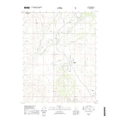
(6)- 2002 Map of Veyo, 2005 Print
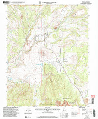 2002 Veyo2005 Print · USGSThe Veyo area at the turn of the millennium shows a fascinating mix of volcanic geography and modern water infrastructure. Researchers can trace the development of Dammeron Valley and Brookside or locate landmarks like the Veyo Volcano and local Cem.
 - 2011 Map of Veyo, 2011 Print
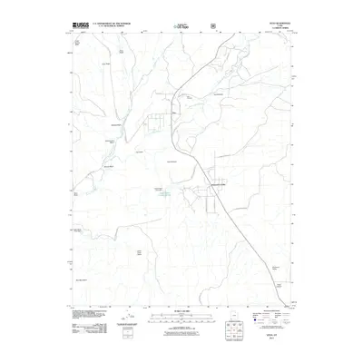 2011 Veyo2011 Print · USGSCovers Veyo, including Dammeron Valley, Washington County, and other nearby areas
 - 2014 Map of Veyo, 2014 Print
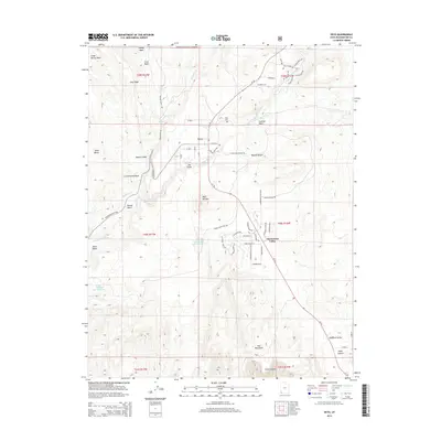 2014 Veyo2014 Print · USGSCovers Veyo, including Dammeron Valley, Washington County, and other nearby areas
 - 2017 Map of Veyo, 2017 Print
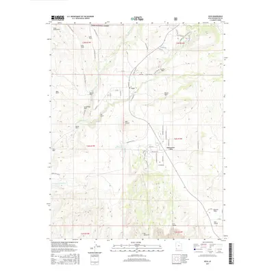 2017 Veyo2017 Print · USGSCovers Veyo, including Dammeron Valley, Washington County, and other nearby areas
 - 2020 Map of Veyo, 2020 Print
 2020 Veyo2020 Print · USGSCovers Veyo, including Dammeron Valley, Washington County, and other nearby areas
 - 2023 Map of Veyo, 2023 Print
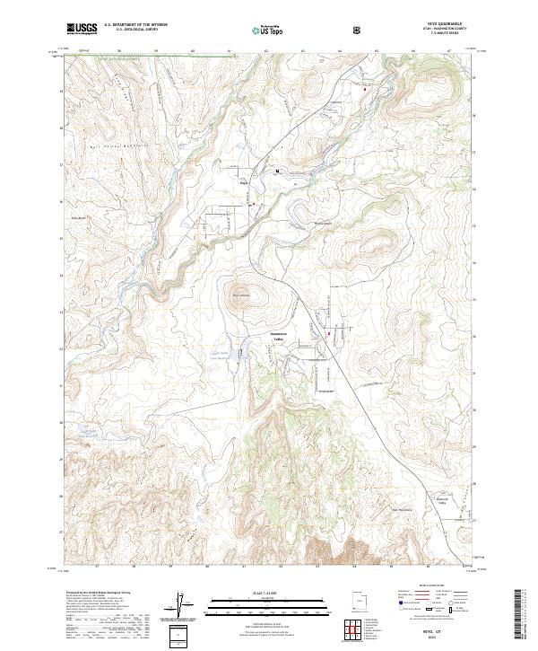 2023 Veyo2023 Print · USGSThe high desert landscape of Washington County comes into focus as it appeared in the early 2020s, centered on the volcanic geology of the Santa Clara River corridor. Genealogists and researchers can trace the growth of Veyo, locate the Veyo Cem, and follow the water levels of the Upper Sand Cove Reservoir and Lower Sand Cove Reservoir.
End of results
Showing maps 1-6 of 6
Top cities near Veyo
- St. George historical maps
- Washington historical maps
- Ivins historical maps
- Santa Clara historical maps
- Enterprise historical maps
- Diamond Valley historical maps
See more
Frequently asked questions
- What are the different types of historical maps available for Veyo?
- What is the oldest map of Veyo?
- Where can I purchase historical maps of Veyo for my home or office?
- Where can I download high-res historical maps of Veyo?
- Are there historical topographic maps available for Veyo?
- Is there historical aerial imagery available for Veyo?
- Where are historical maps of Veyo sourced from?