Old Maps of Farr West, Utah for Genealogy
Trace your family roots with 13 historic maps of Farr West. These high-res maps reveal old neighborhoods, homesites, landmarks, and streets — helping you uncover where your ancestors lived and how the area evolved over time.
- Explore historic neighborhoods: Identify where your relatives may have lived in the 1800s or 1900s.
- Compare maps over time: Trace the changes in streets, buildings, and landmarks for multi-generational research.
- Perfect for genealogy & ancestry research: Used by family historians and researchers to map out lineage and migration.
These maps are an incredible resource for exploring your personal connection to Farr West's past.
Farr West, UT maps
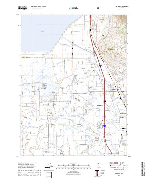
(13)- 1954 Map of Brigham City, 1968 Print
 1954 Brigham City1968 Print · USGSNorthern Utah and the edges of the Great Salt Lake are captured here during the mid-fifties, showing the region's transition from pioneer rail hubs to modern military ranges. Researchers can find old sidings like Lemay Siding, the Golden Spike Monument, and settlements like Washakie.4 unique versions available
 - 1955 Map of Plain City, 1956 Print
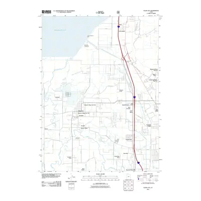
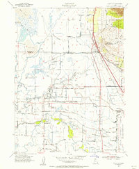 1955 Plain City1956 Print · USGSAgricultural life in mid-fifties Weber County is captured through its extensive irrigation systems and local hubs like Plain City and Farr West. Trace the path of the Ogden Railroad Grade or locate the West Weber Cem and Utah Hot Springs.2 unique versions available
 - 1958 Map of Brigham City
 1958 Brigham City1958 Print · USGSNorthern Utah in the late fifties shows a landscape of extremes, from the salt flats to the bustling Bear River Valley. Trace historical routes like the Old Immigrant Trail and locate local landmarks such as the Brigham Sugar Mill and Booth Valley School.
 - 1962 Map of Brigham City
 1962 Brigham City1962 Print · USGSNorthern Utah in the early sixties reveals a landscape of vast salt flats and growing towns along the Wasatch Front. Researchers can trace the Southern Pacific line past the Golden Spike Monument or locate landmarks like Indian Cave and Donner-Reed Pass.
 - 1969 Map of Plain City, 1971 Print
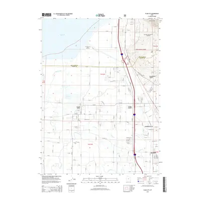
 1969 Plain City1971 Print · USGSNorth of Ogden in the late sixties, this landscape shows the complex water systems and rail corridors of the Weber River delta. Genealogists and local historians can trace the irrigation canals serving Plain City or locate the West Weber Cem and Utah Hot Springs.
 - 1987 Map of Promontory Point
 1987 Promontory Point1987 Print · USGSThe Wasatch Front meets the great salt desert in the late eighties, showing the rapid growth of towns from Brigham City to Layton. Follow the Southern Pacific (Lucin Cutoff) across the water and explore the remote terrain of Antelope Island and Promontory Point.
 - 1992 Map of Plain City
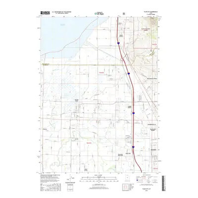
 1992 Plain City1992 Print · USGSWeber County at the start of the nineties shows a landscape of engineered waterways and growing communities between the Wasatch foothills and the Great Salt Lake. Researchers can locate family sites and local landmarks like Plain City, Wahlquist Jr High Sch, and the Defense Depot Ogden.
 - 1998 Map of Plain City, 2001 Print
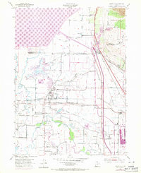
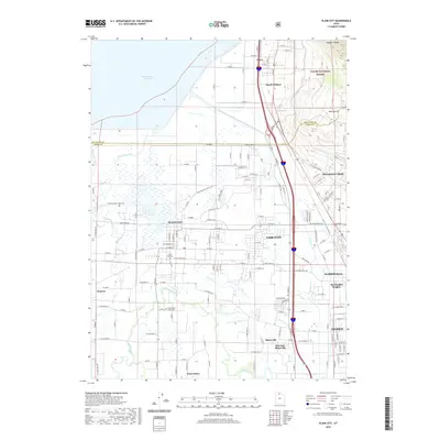
 1998 Plain City2001 Print · USGSThe Weber County lowlands come into focus in the late nineties as irrigation and recreation reshape the valley. Genealogists can trace family plots at Plain City Cem or follow the historic Ogden and Brigham City Electric RR through Farr West.
 - 2011 Map of Plain City, 2011 Print
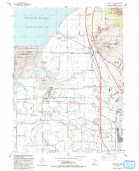
 2011 Plain City2011 Print · USGSCovers Farr West, including Ogden, Pleasant View, and other nearby areas
 - 2014 Map of Plain City, 2014 Print
 2014 Plain City2014 Print · USGSCovers Farr West, including Ogden, Pleasant View, and other nearby areas
 - 2017 Map of Plain City, 2017 Print
 2017 Plain City2017 Print · USGSCovers Farr West, including Ogden, Pleasant View, and other nearby areas
 - 2020 Map of Plain City, 2020 Print
 2020 Plain City2020 Print · USGSCovers Farr West, including Ogden, Pleasant View, and other nearby areas
 - 2023 Map of Plain City, 2023 Print
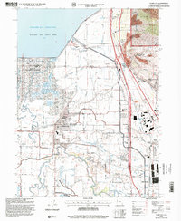
 2023 Plain City2023 Print · USGSWeber County communities thrive between the Wasatch peaks and the Great Salt Lake marshes in this contemporary view. Genealogists can trace family roots at Plain City Cem and West Weber-Taylor Cem or follow the Little Mountain Rail Trl.
End of results
Showing maps 1-13 of 13
Top cities near Farr West
- Ogden historical maps
- Layton historical maps
- Roy historical maps
- Syracuse historical maps
- Clearfield historical maps
- Clinton historical maps
See more
Frequently asked questions
- What are the different types of historical maps available for Farr West?
- What is the oldest map of Farr West?
- Where can I purchase historical maps of Farr West for my home or office?
- Where can I download high-res historical maps of Farr West?
- Are there historical topographic maps available for Farr West?
- Is there historical aerial imagery available for Farr West?
- Where are historical maps of Farr West sourced from?