Old Maps of Sunridge Highlands, Utah for Genealogy
Trace your family roots with 12 historic maps of Sunridge Highlands. These high-res maps reveal old neighborhoods, homesites, landmarks, and streets — helping you uncover where your ancestors lived and how the area evolved over time.
- Explore historic neighborhoods: Identify where your relatives may have lived in the 1800s or 1900s.
- Compare maps over time: Trace the changes in streets, buildings, and landmarks for multi-generational research.
- Perfect for genealogy & ancestry research: Used by family historians and researchers to map out lineage and migration.
These maps are an incredible resource for exploring your personal connection to Sunridge Highlands's past.
Sunridge Highlands, UT maps
(12)- 1954 Map of Ogden, 1967 Print
 1954 Ogden1967 Print · USGSThe northern Utah corridor and Wyoming borderlands are captured here in the mid-1950s, showing the region's transition from mountain wilderness to settled valleys. Researchers can trace historic institutions like Utah State University or locate vanished points like Church Butte Station and the Trappist Monastery.3 unique versions available
 - 1958 Map of Ogden
 1958 Ogden1958 Print · USGSNorthern Utah and southwestern Wyoming are captured here during a period of steady growth and military expansion. You can trace the Union Pacific rail lines and early road networks connecting Ogden and Logan to Bear Lake and Evanston.
 - 1960 Map of Ogden
 1960 Ogden1960 Print · USGSIn the mid-1950s, this region of the American West balanced military expansion with frontier history along the Union Pacific RR. Genealogists and historians can trace old settlements like Fort Bridger, the residential growth of Washington Terrace, and industrial sites from the Hill AFB complex to the coal mines of Kemmerer.
 - 1964 Map of Sharp Mountain, 1966 Print
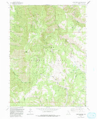
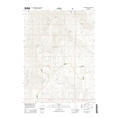
 1964 Sharp Mountain1966 Print · USGSThe high ridge country of the Wasatch Range is captured here in the mid-1960s, showing the intersection of Cache and Weber counties. Local historians can locate the La Plata Mine and trace the headwaters of the Little Bear River and Cinnamon Creek.3 unique versions available
 - 1986 Map of Ogden, 1987 Print
 1986 Ogden1987 Print · USGSThe Wasatch Front was undergoing significant development in the mid-eighties as the urban corridor stretched from Ogden toward the Great Salt Lake. Researchers can trace the legacy of regional transport and defense via Hill Air Force Base, the Union Pacific line, and mountain passes near Snow Basin.
 - 1991 Map of Sharp Mountain
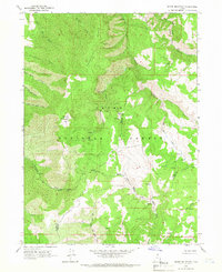
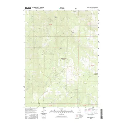
 1991 Sharp Mountain1991 Print · USGSThe high ridges of the Cache National Forest come into focus in the early nineties, revealing the deep canyons and mining history of the Utah mountains. Trace old prospecting routes and water sources like the La Plata Mine, Sharp Mountain, and Cinnamon Creek.
 - 1998 Map of Sharp Mountain, 2001 Print
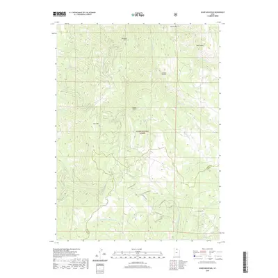
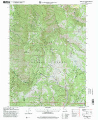 1998 Sharp Mountain2001 Print · USGSThe high ridges of the Wasatch Range define this 1990s survey of the Cache and Weber county line. Researchers can locate remote industrial sites and water sources like the La Plata Mine, Scare Bear Canyon, and the Corral at Mineral Point.
 - 2011 Map of Sharp Mountain, 2011 Print
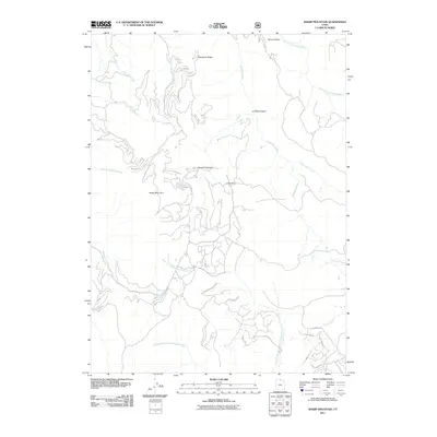 2011 Sharp Mountain2011 Print · USGSCovers Sunridge Highlands, including Weber County, Cache County, and other nearby areas
 - 2014 Map of Sharp Mountain, 2014 Print
 2014 Sharp Mountain2014 Print · USGSCovers Sunridge Highlands, including Weber County, Cache County, and other nearby areas
 - 2017 Map of Sharp Mountain, 2017 Print
 2017 Sharp Mountain2017 Print · USGSCovers Sunridge Highlands, including Weber County, Cache County, and other nearby areas
 - 2020 Map of Sharp Mountain, 2020 Print
 2020 Sharp Mountain2020 Print · USGSCovers Sunridge Highlands, including Weber County, Cache County, and other nearby areas
 - 2023 Map of Sharp Mountain, 2023 Print
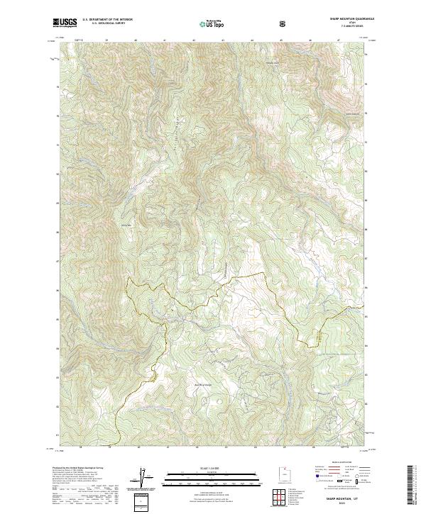 2023 Sharp Mountain2023 Print · USGSThe Bear River Range stands as a prominent divide in northern Utah in this recent survey. Researchers can trace the rugged transition from the Cache National Forest to new developments along E Chukar Point Dr N and Pheasant Cir.
End of results
Showing maps 1-12 of 12
Top cities near Sunridge Highlands
Frequently asked questions
- What are the different types of historical maps available for Sunridge Highlands?
- What is the oldest map of Sunridge Highlands?
- Where can I purchase historical maps of Sunridge Highlands for my home or office?
- Where can I download high-res historical maps of Sunridge Highlands?
- Are there historical topographic maps available for Sunridge Highlands?
- Is there historical aerial imagery available for Sunridge Highlands?
- Where are historical maps of Sunridge Highlands sourced from?